TN Section 9 Pictures - Milemarker 13.1 - 15.8
Laurel along Trail - Curley Maple Gap
Move your mouse across the pictures for more information.
Laurel in bloom along trail. Taken at approx. mm 13.1.
Submitted by dlcul @ conncoll.edu
mm 13.3 The AT crosses from one side of the ridge to the other as it passes through this gap.
Submitted by dlcul @ conncoll.edu
View to the north at approx. mm 14.4
Submitted by dlcul @ conncoll.edu
mm 14.6 Spring
Submitted by dlcul @ conncoll.edu

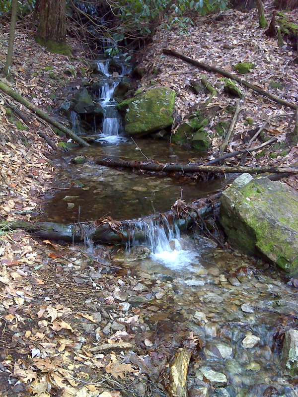
mm 14.6 Cascades at spring. This was taken in February 2012 when the spring was flowing freely, much more so than in the previous picture. GPS N36.1056 W.82.3850
Submitted by pjwetzel @ gmail.com
mm 14.8 The trail crosses a small creek.
Submitted by dlcul @ conncoll.edu
View at approx. mm 15.5
Submitted by dlcul @ conncoll.edu
mm 15.8 Clearing in Curley Maple Gap. The southbound trail can be seen re-entering the woods. The foundation on the right is the remnant of an old shelter.
Submitted by dlcul @ conncoll.edu