TN Section 9 Pictures - Milemarker 15.8 - 17.7
Curley Maple Gap - Old Road along Jones Branch
Move your mouse across the pictures for more information.
mm 15.8 Old road in Curley Maple Gap
Submitted by dlcul @ conncoll.edu
mm 15.9 Curley Maple Gap Shelter
Submitted by dlcul @ conncoll.edu
After leaving Curley Maple Gap Shelter, the southbound trail soon reaches the headwaters of Jones Branch. The canyon and then valley of Jones Branch is followed almost all they way to the Nolichucky River. For the steepest part of the descent, the trail is high above the actual stream. This view is from that section (Approx. mm 16.5)
Submitted by dlcul @ conncoll.edu
mm 17.0 Campsite. Near here the southbound trail once again reaches Jones Branch. The northbound trail climbs well above the stream and begins the steep ascent to Curley Maple Gap Shelter.
Submitted by dlcul @ conncoll.edu
Jones Branch at approx. mm 17.1
Submitted by dlcul @ conncoll.edu

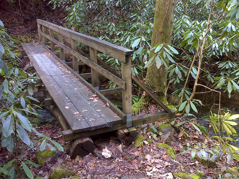
mm 17.2. The trail crosses Jones Branch a number of times. Numbering from trail north to trail south, this would be Bridge 1.
Submitted by pjwetzel @ gmail.com

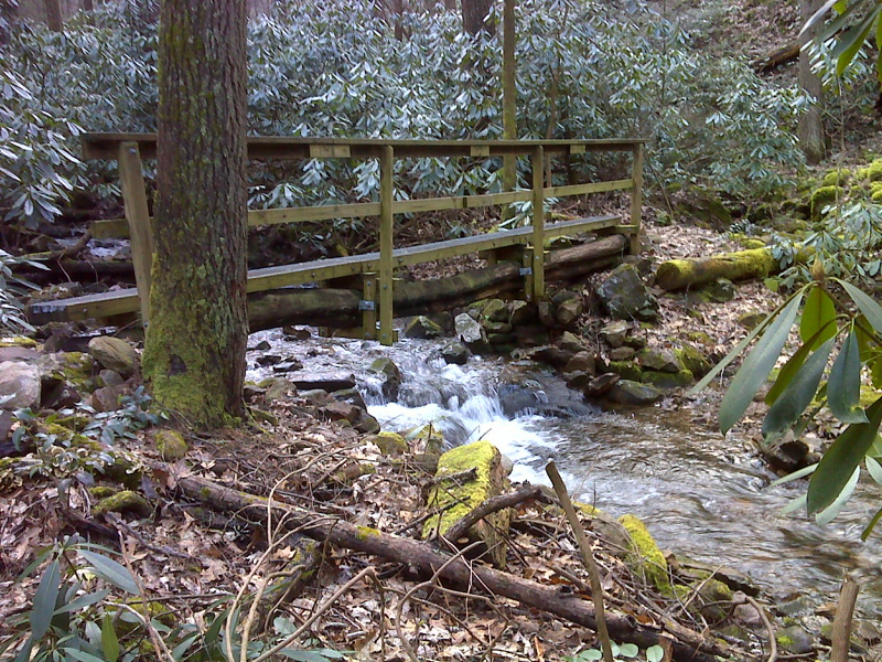
mm 17.4. The trail crosses Jones Branch a number of times. Numbering from trail north to trail south, this would be Bridge 2.
Submitted by pjwetzel @ gmail.com
Between mm 17.0 and 18.8 the trail parallels Jones Branch, generally not too far from the stream. Much of the route is along an old road seen here at approx. mm 17.7.
Submitted by dlcul @ conncoll.edu