VA Section 1 Pictures - Milemarker 1.7 - 4.8
WV 32 - Powerline
Move your mouse across the pictures for more information.
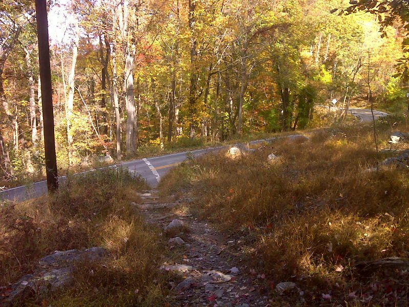
mm 1.7 Trail crossing of Chestnut St. (WV 32). No parking here. GPS N39.3145 W77.7406
Submitted by pjwetzel @ gmail.com
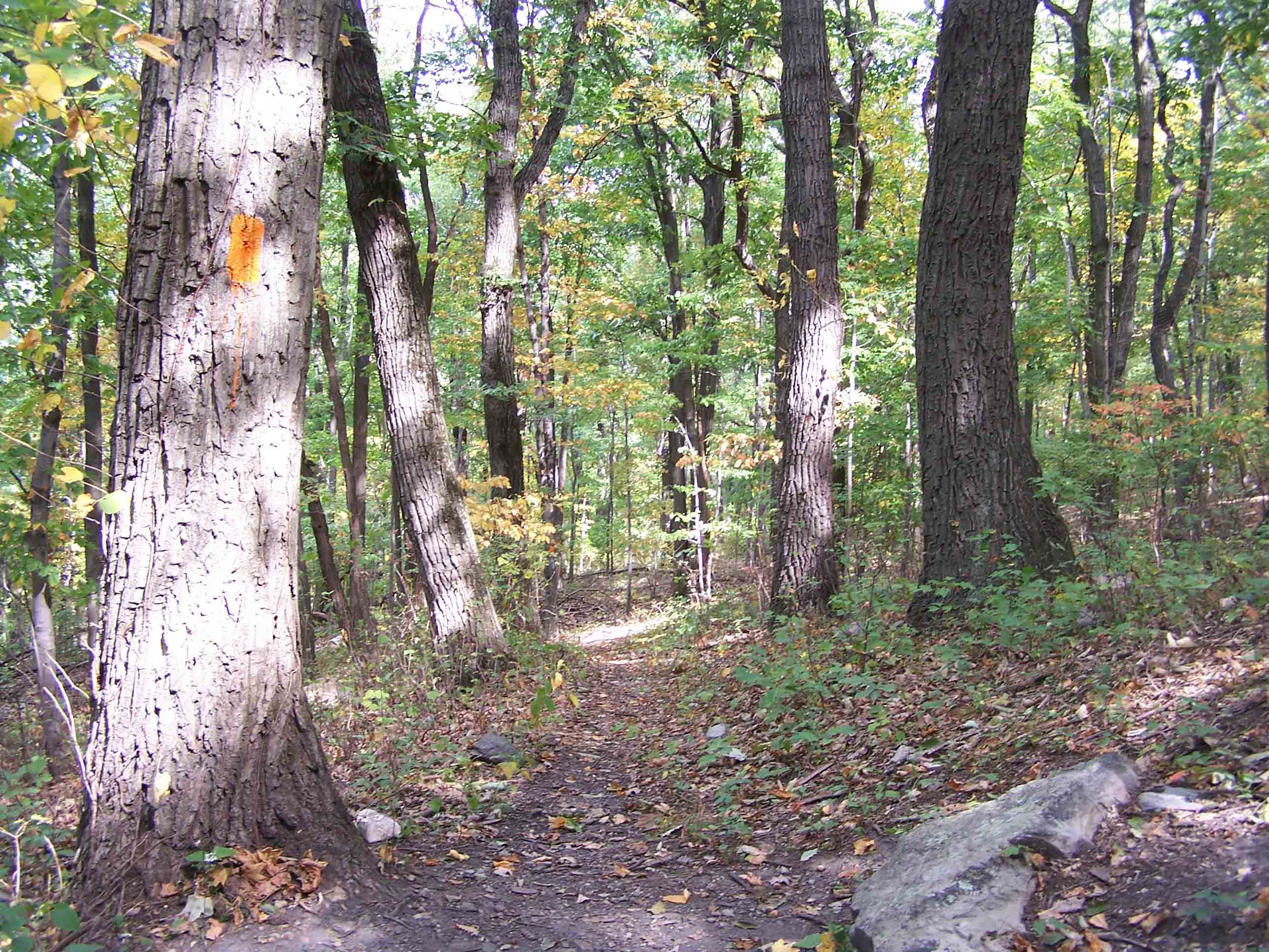
mm 2.1 - Orange blaze trail to Loudon Hights Trail
Submitted by at @ rohland.org
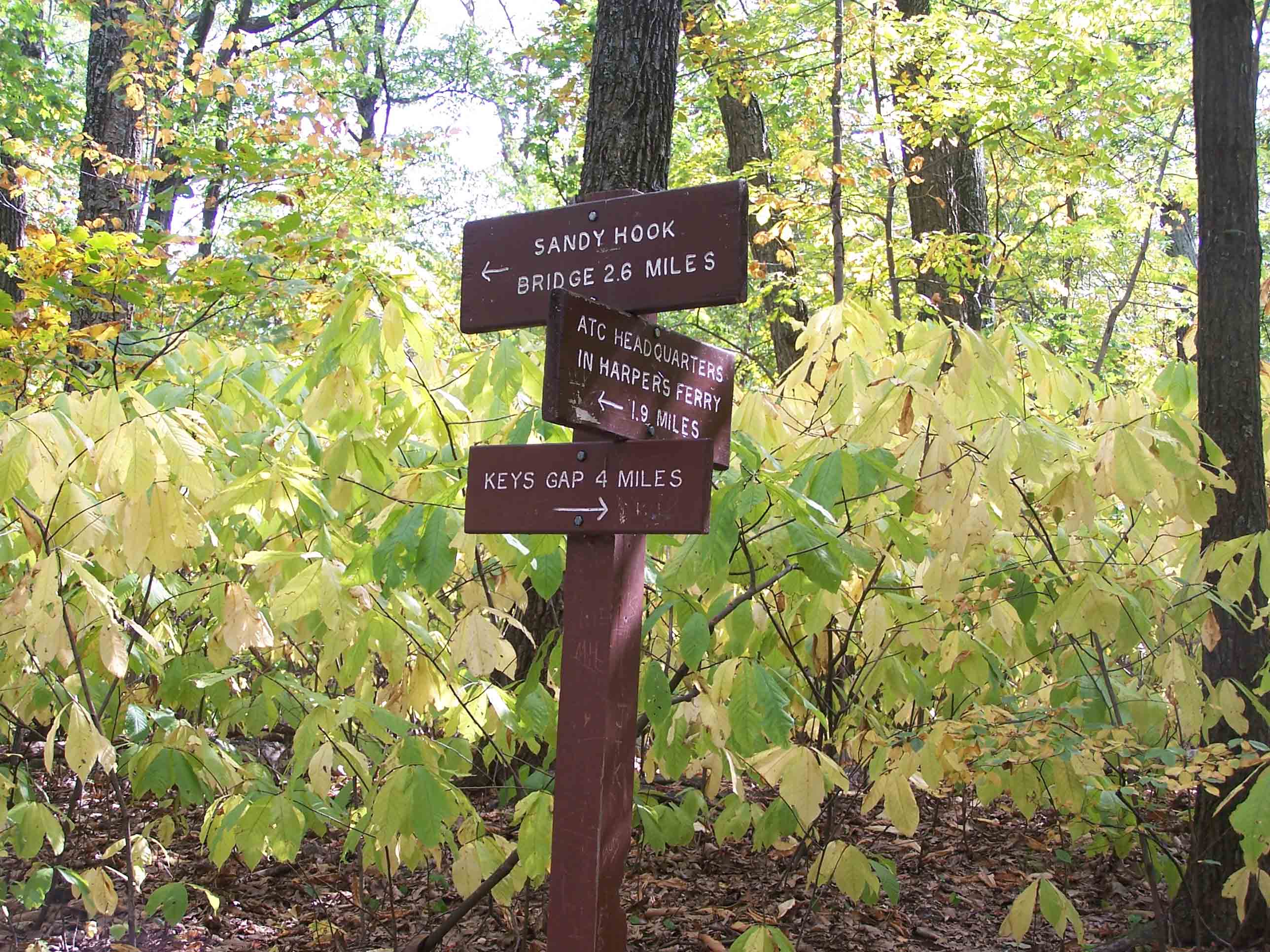
mm 2.4 - Blue blazed Loudon Heights trail to MD via Sandy Hook Bridge
Submitted by at @ rohland.org
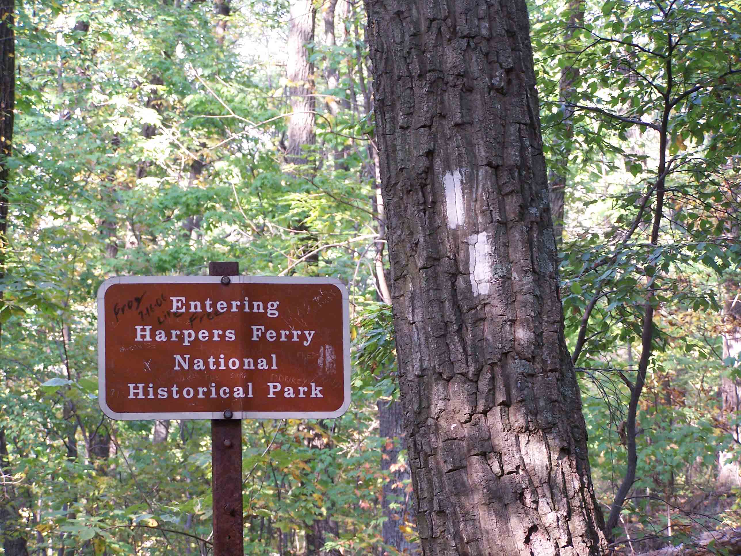
mm 2.5 - Boundary of Harpers Ferry National Park
Submitted by at @ rohland.org
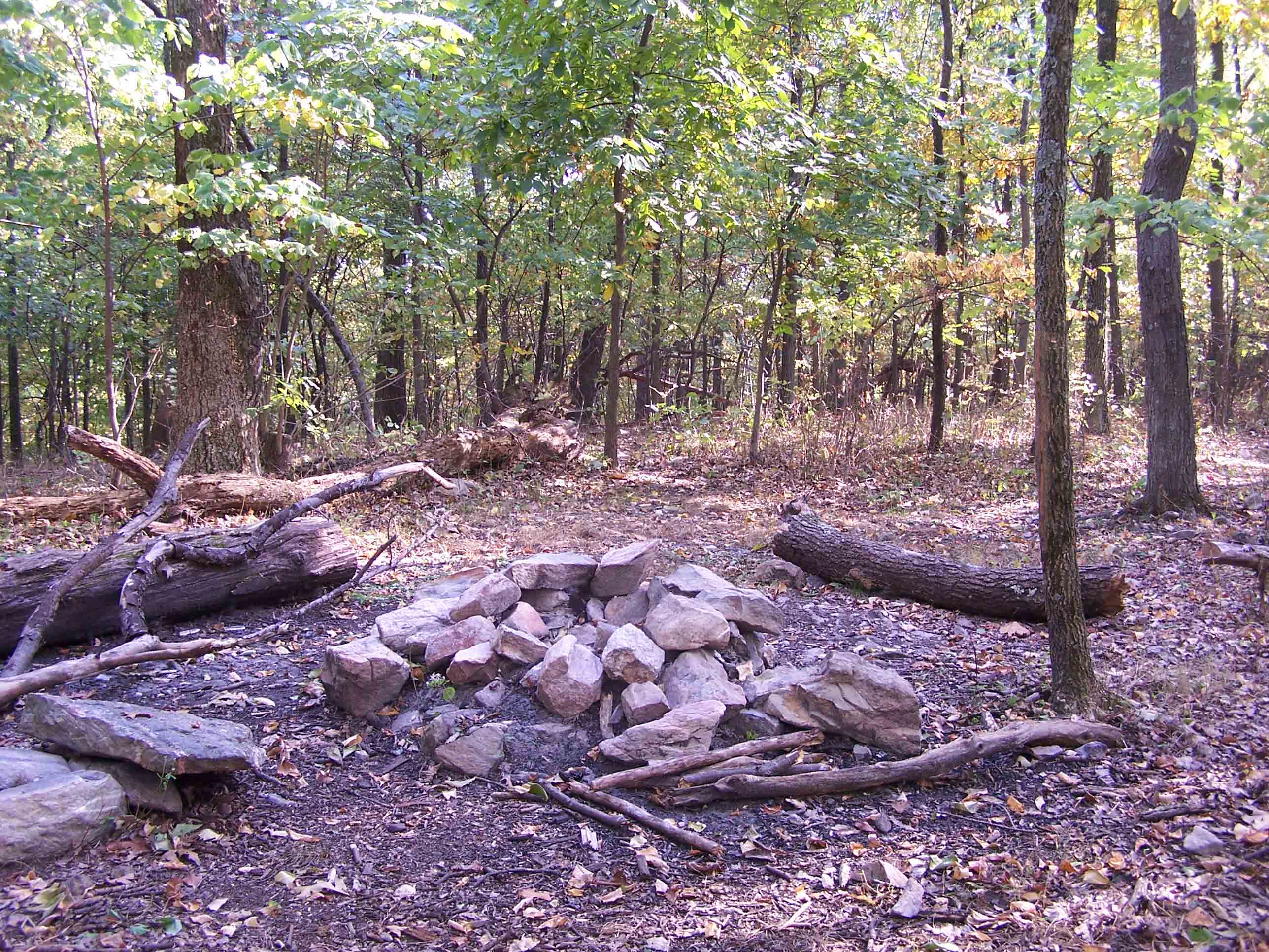
mm 3.3 - Campsite
Submitted by at @ rohland.org
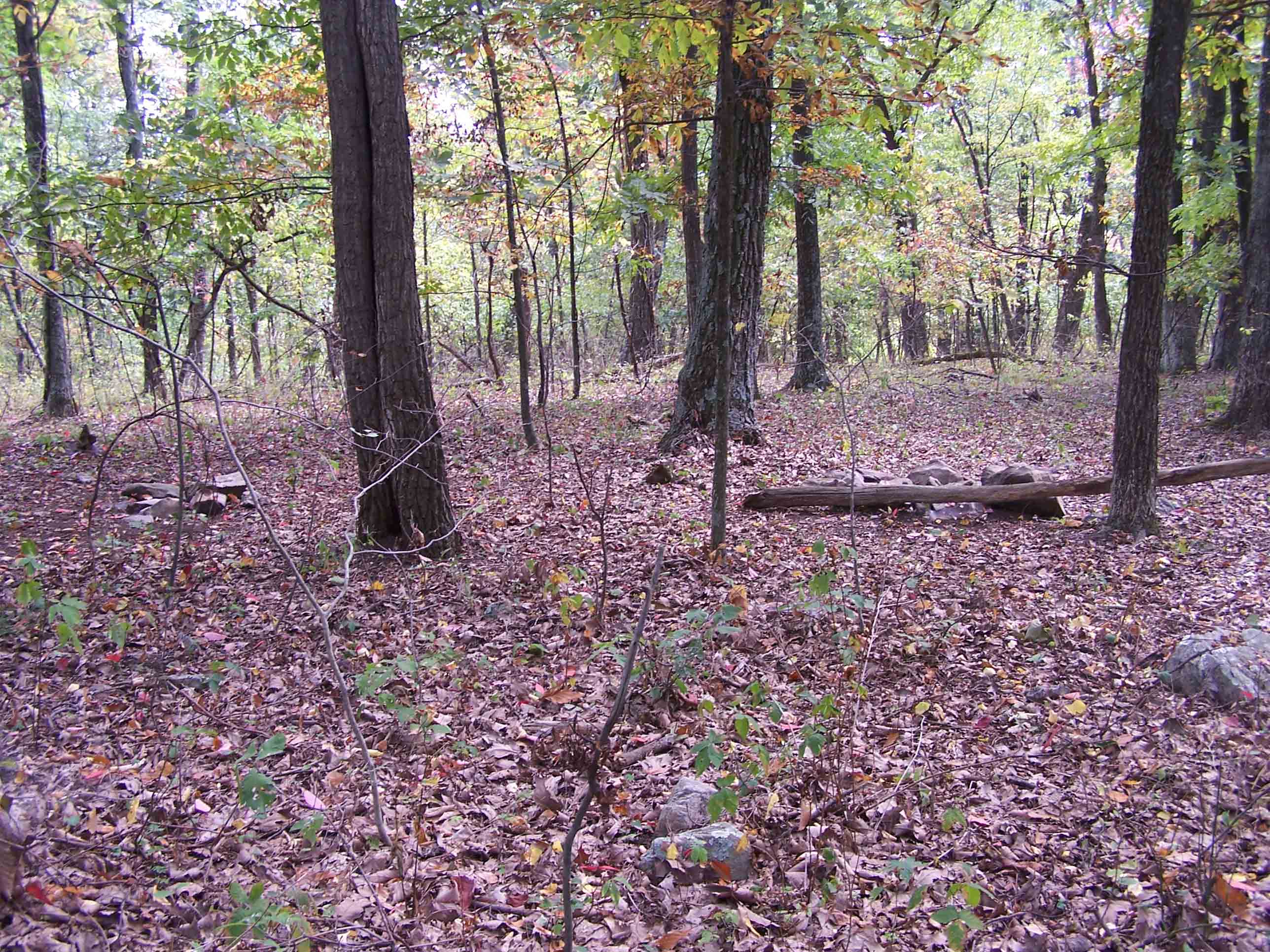
mm 4.4 - Campsite
Submitted by at @ rohland.org
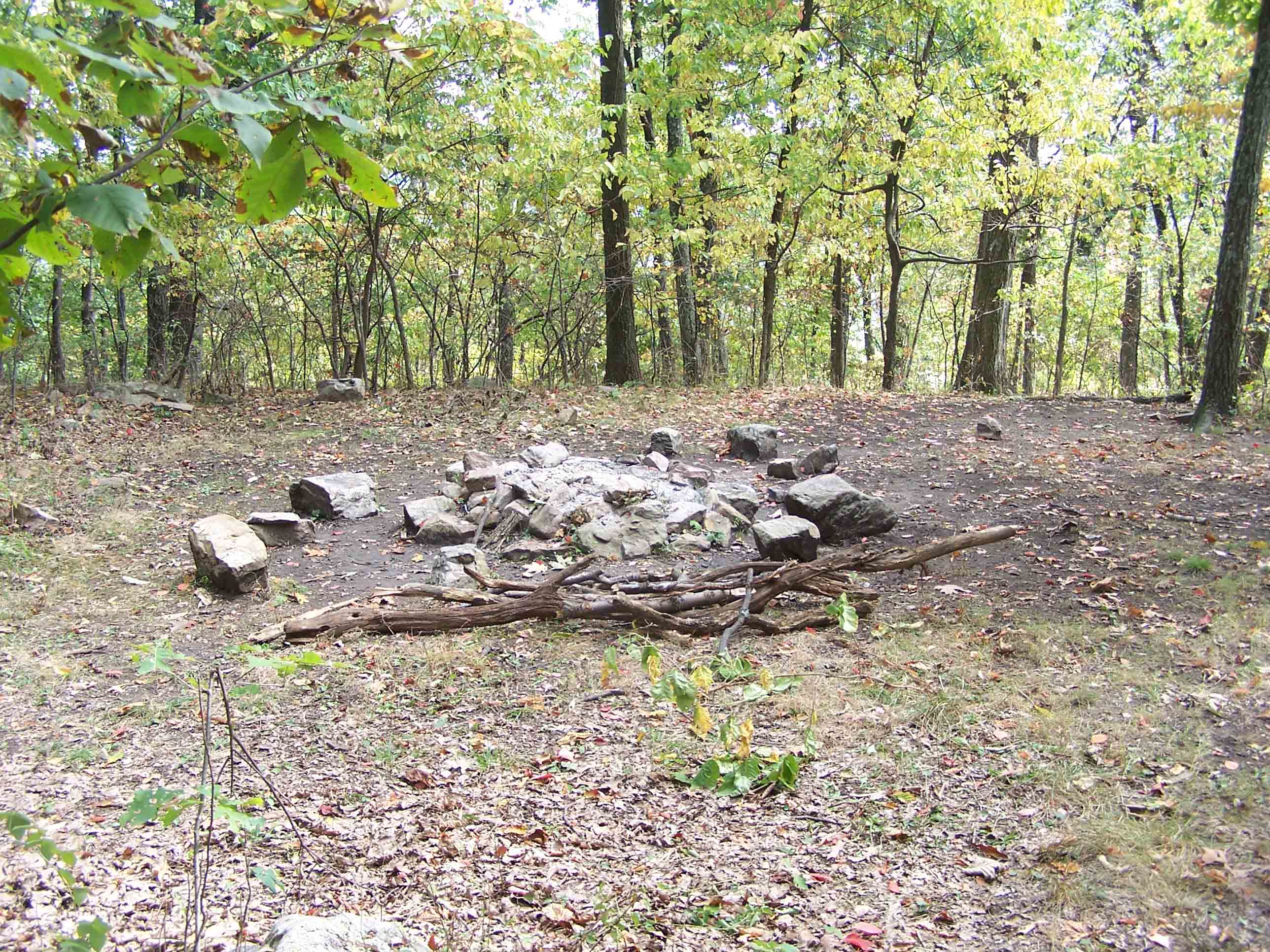
mm 4.4 - Campsite
Submitted by at @ rohland.org
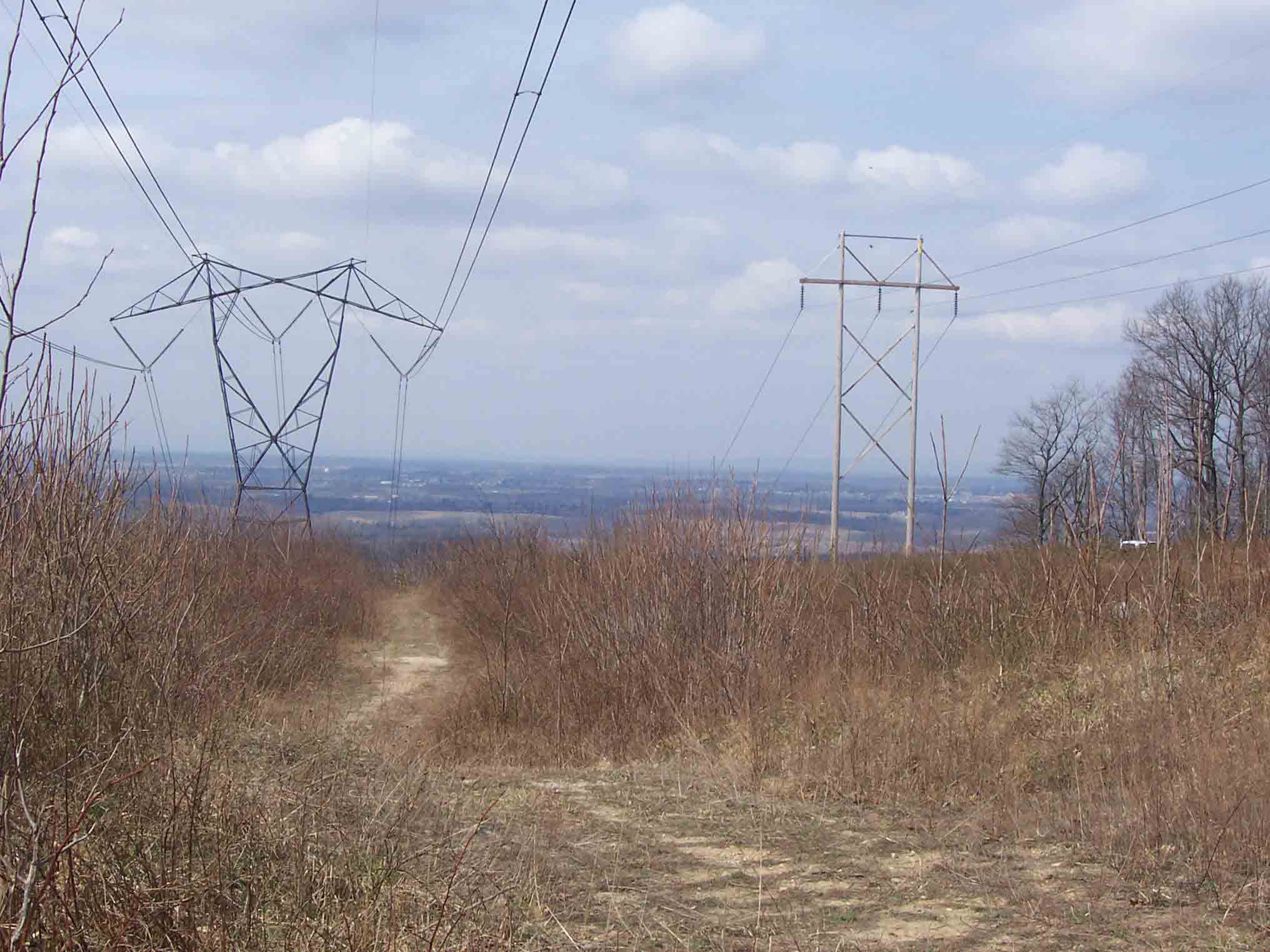
mm 4.8 - Early spring view west into West Virginia from powerline north of Keys Gap
Submitted by dlcul @ conncoll.edu