VA Section 10 Pictures - Milemarker 0.1 - 2.5
Fishers Gap - Lewis Falls Trail
Move your mouse across the pictures for more information.
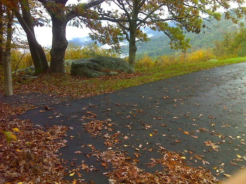
mm 0.1 Parking in Fishers Gap Overlook. A short access trail leads to the AT. GPS N38.5340 W78.4228
Submitted by pjwetzel @ gmail.com
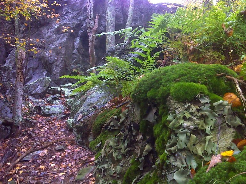
Moss, fern and rock trip north of Big Meadows. GPS N38.5334 W78.4252
Submitted by pjwetzel @ gmail.com
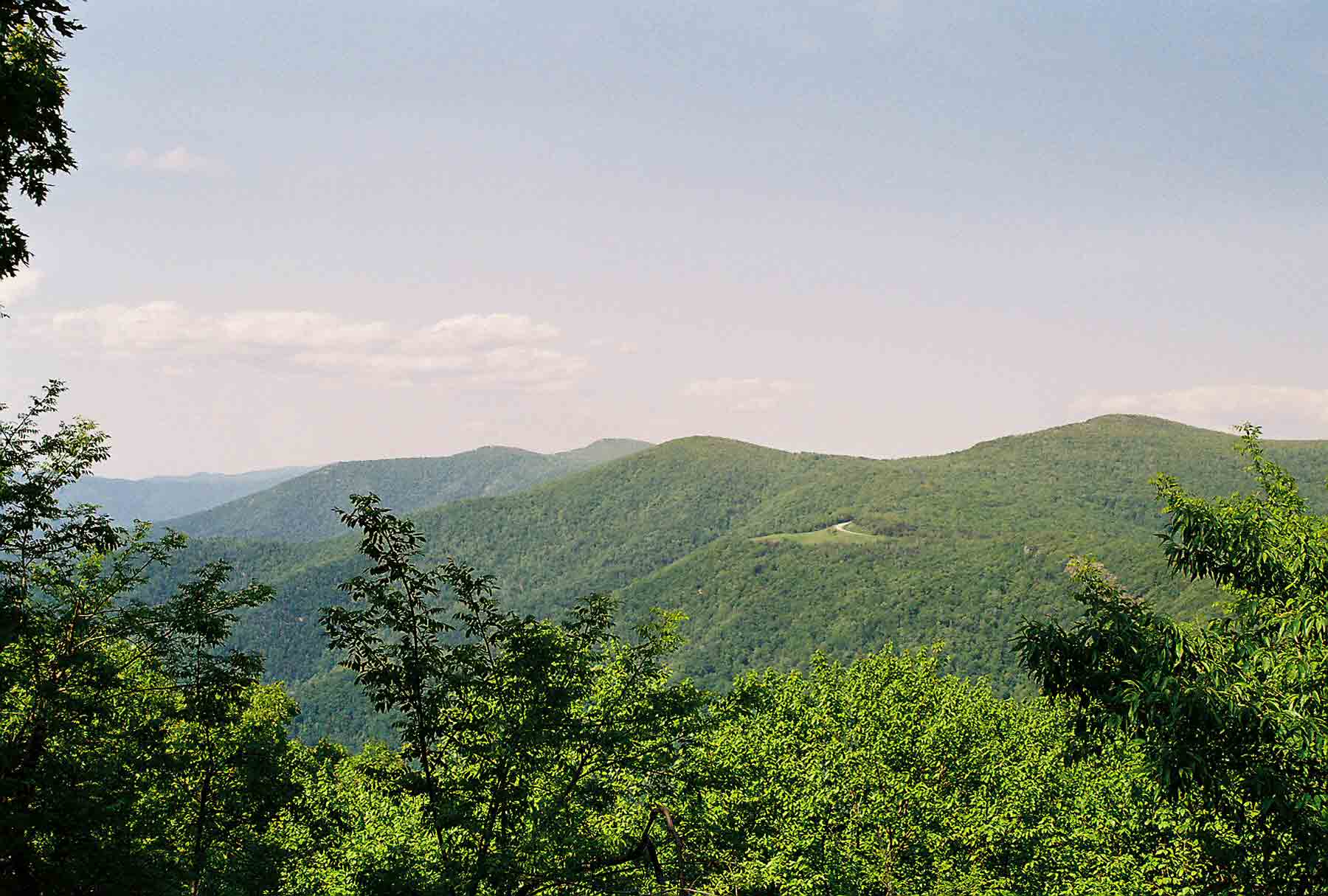
View North from near Big Meadows. Open area is Spitler's Knob Overlook. High peak on right is Hawksbill. Higher peak in distance is Stony Man. Taken at approx. MM 1.3.
Submitted by dlcul @ conncoll.edu
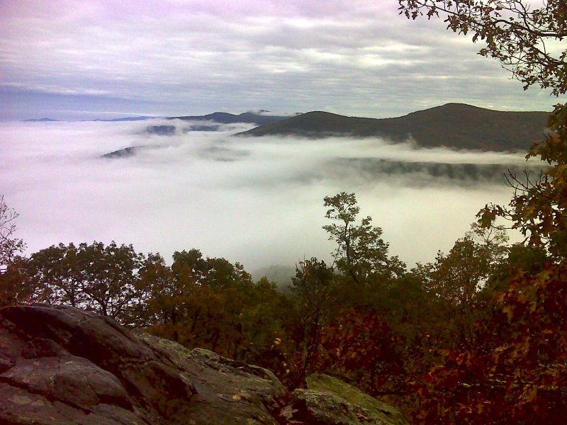
Morning view northward from near Big Meadows Campground. This is probably taken from the same viewpoint as the previous picture. GPS N38.5330 W78.4276
Submitted by pjwetzel @ gmail.com
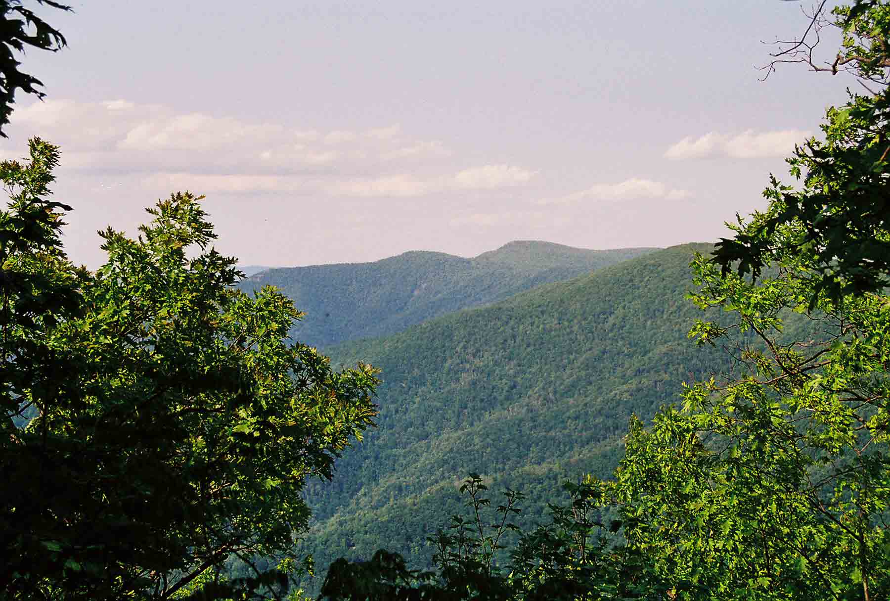
Stony Man from near Big Meadows. Taken at approx. MM 1.3.
Submitted by dlcul @ conncoll.edu
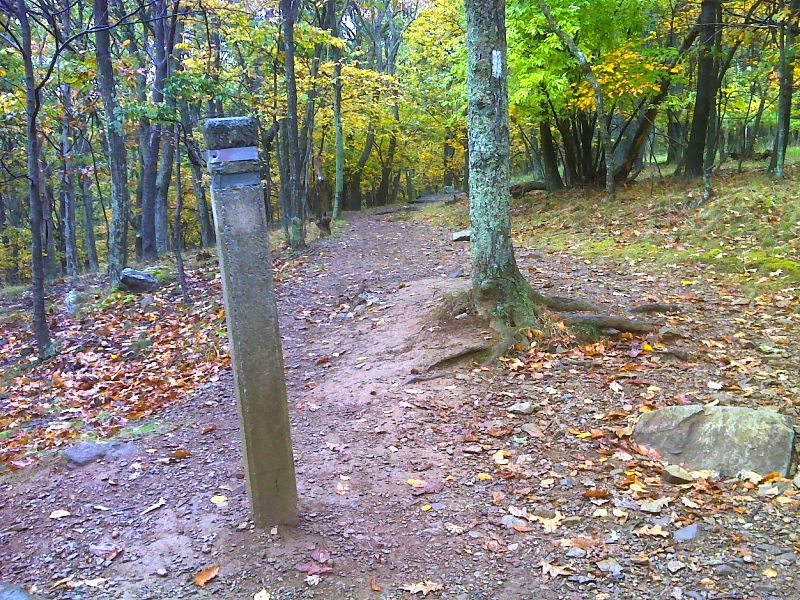
mm 1.6 Side trail to Amphitheater, Big Meadows Lodge and parking. GPS N38.5311 W78.4406
Submitted by pjwetzel @ gmail.com
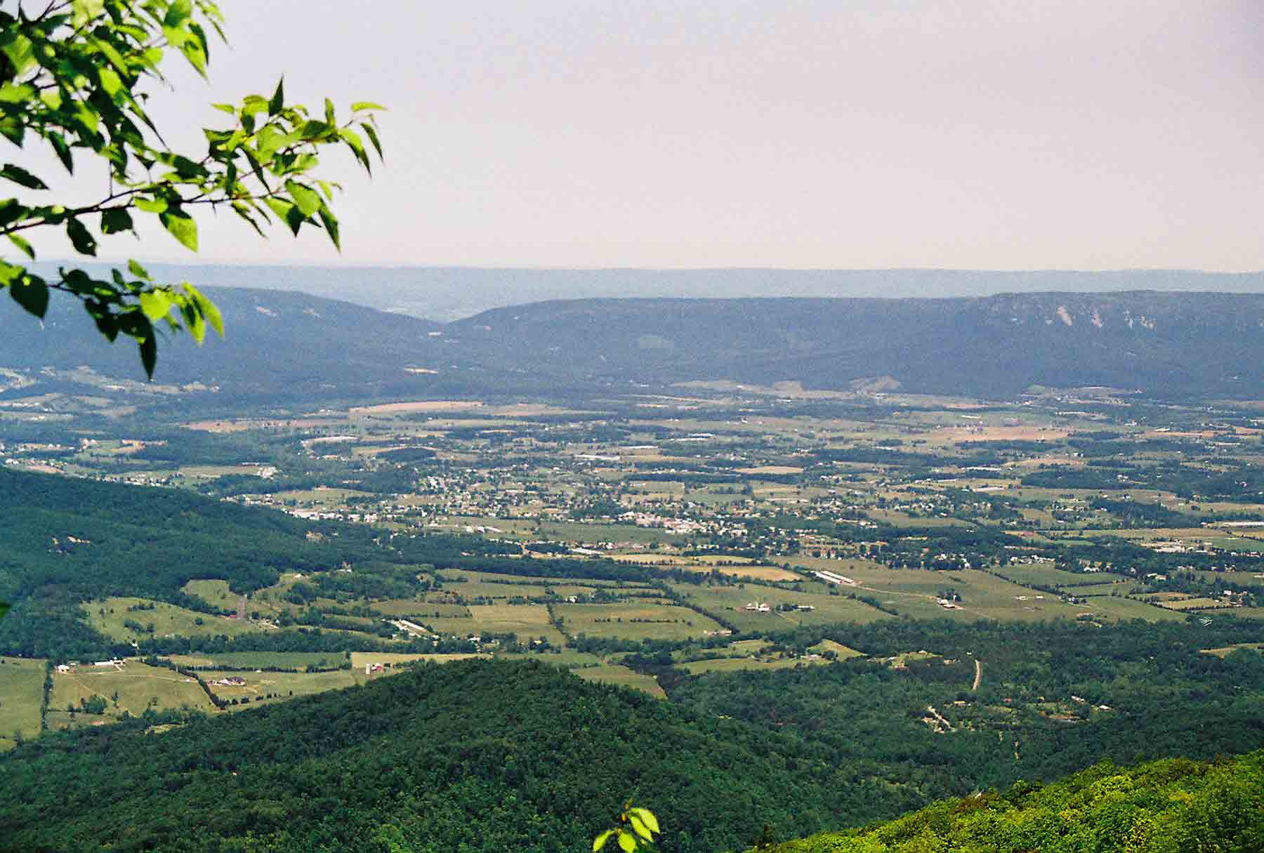
mm 1.9 - Shenandoah Valley from near Big Meadows.
Submitted by dlcul @ conncoll.edu
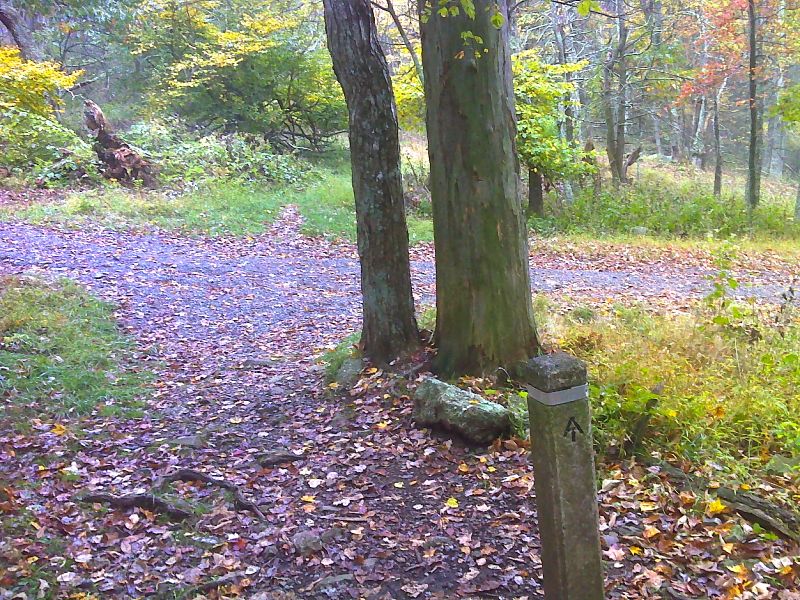
mm 2.5 Junction with the Lewis Falls Trail. GPS N38.5194 W78.4432
Submitted by pjwetzel @ gmail.com