VA Section 10 Pictures - Milemarker 3.1 - 8.4
Tanners Ridge Road - Bearfence Mt. Trail
Move your mouse across the pictures for more information.
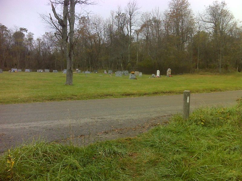
mm 3.1 Crossing of Tanners Ridge Road. Tanners Ridge Cemetery is on the other side. GPS N38.5133 W78.4489
Submitted by pjwetzel @ gmail.com
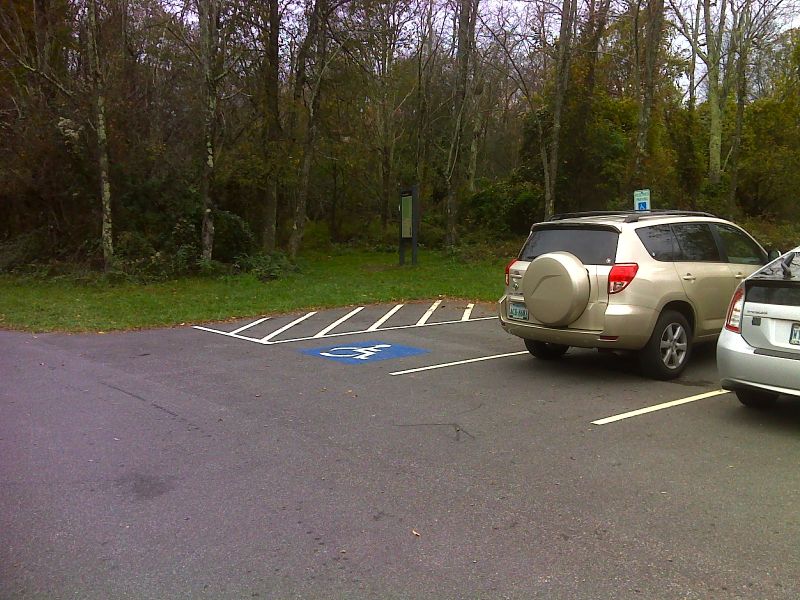
mm 4.2 Part of parking area at Milam Gap. The trail is a just a few feet into the woods seen in the picture. GPS N38.5002 W78.4457
Submitted by pjwetzel @ gmail.com
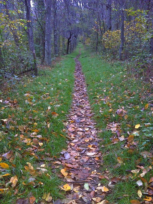
Best green tunnel of entire AT. North slopes of Hazeltop Mt. Taken at approx. mm 4.8, GPS N38.4912 W78.4430
Submitted by pjwetzel @ gmail.com
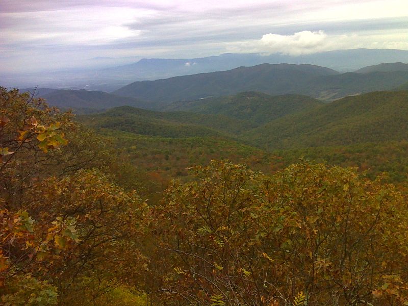
mm 6.0 Looking southwest from near the summit of Hazeltop Mt. GPS N38.4797 W78.4510
Submitted by pjwetzel @ gmail.com
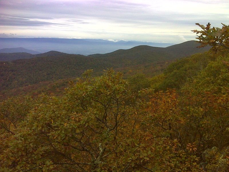
mm 6.0 Looking northwest from near the summit of Hazeltop Mt. The large mountain on the right is Hawksbill. GPS N38.4797 W78.4510
Submitted by pjwetzel @ gmail.com
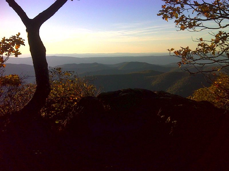
mm 6.0 Late afternoon view from near the summit of Hazeltop. GPS N38.4797 W78.4514
Submitted by pjwetzel @ gmail.com
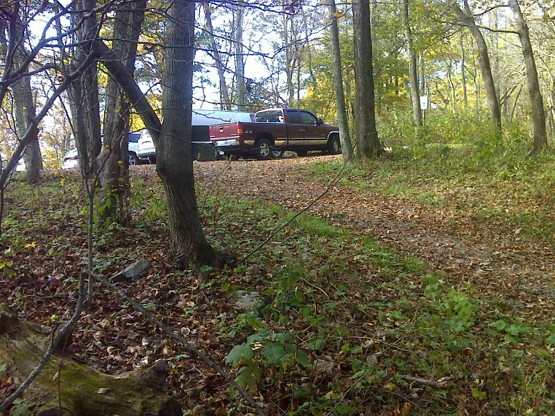
mm 7.0 Bootens Gap parking area as seen from the northbound AT. GPS N38.4683 W78.4573
Submitted by pjwetzel @ gmail.com
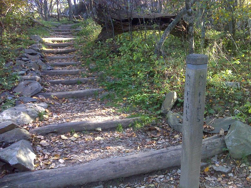
mm 8.4 Junction with popular Bearfence Mt. Trail. This leads to a rock scramble and then to the Bearfence Loop Traill. In the other direction the Bearfence Mt Trail leads to a parking area (MP 56.4). GPS 38.4520 W78.4654
Submitted by pjwetzel @ gmail.com