VA Section 10 Pictures - Milemarker 8.6 - 15.6
Bearfence Mt. Loop Trail - South River Falls Trail
Move your mouse across the pictures for more information.
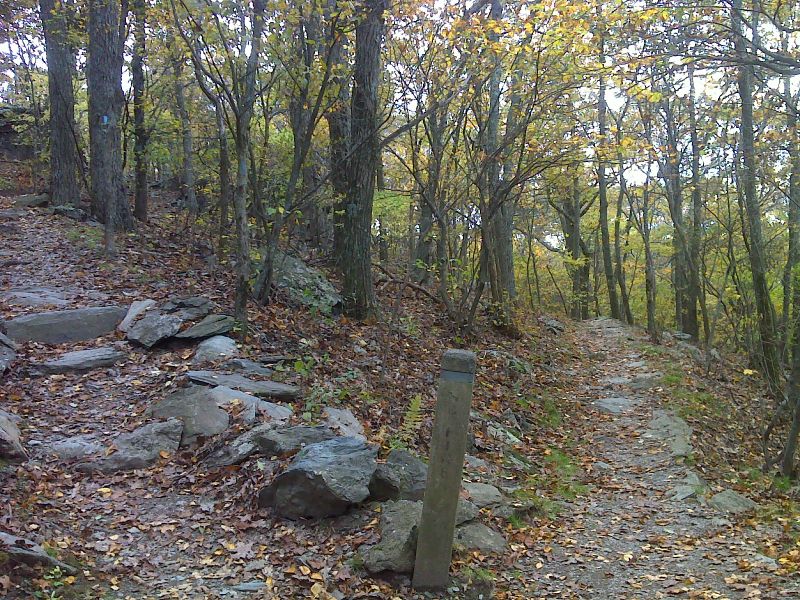
mm 8.6 North junction with the Bearfence Mt. Loop Trail. GPS 38.4482 W78.4658
Submitted by pjwetzel @ gmail.com

View from Bearfence Mt. This picture was taken from the Bearfence Loop Trail which meets the AT at MM 8.6 and 8.8. Viewpoint is closer to latter junction.
Submitted by dlcul @ conncoll.edu
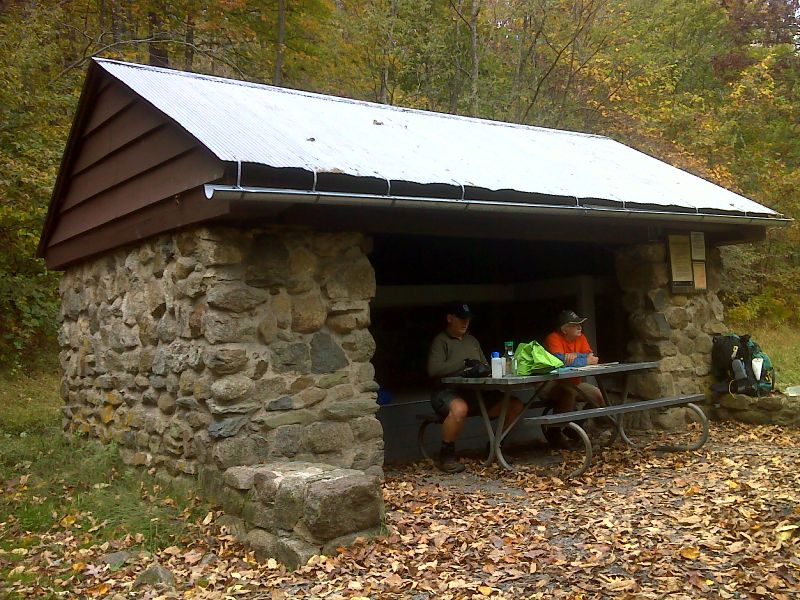
mm 9.6 Bearfence Mountain Hut. GPS 38.4441 W78.4705
Submitted by pjwetzel @ gmail.com
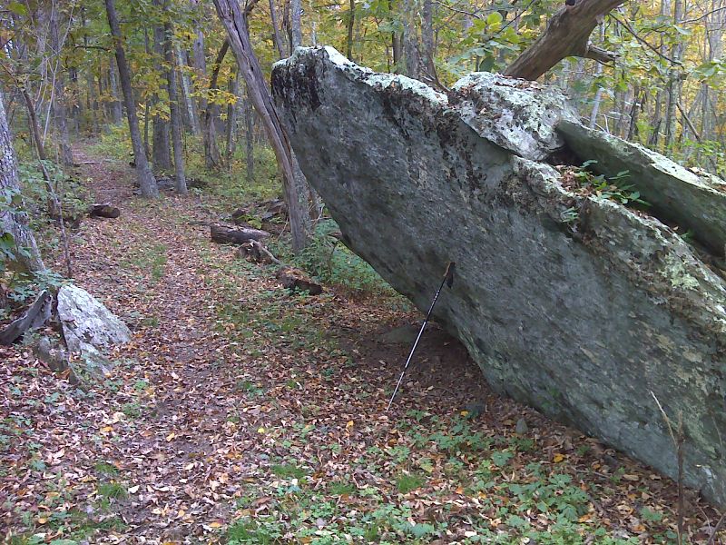
Big slanted rock along trail. Nearby the trail comes close to Skyline Drive (MP 58.5). This provides an unmarked access point. GPS 38.4260 W78.4832
Submitted by pjwetzel @ gmail.com
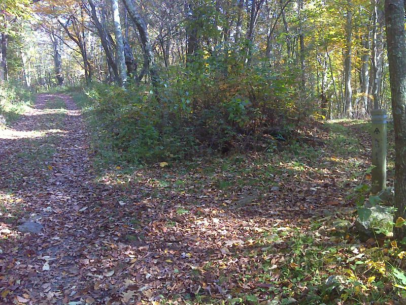
mm 12.2 Junction with the Pocosin Fire Road. There is a parking area nearby with access to Skyline Drive at MP 59.5. GPS 38.4116 W78.4882
Submitted by pjwetzel @ gmail.com

mm 12.5 Looking north from partially overgrown viewpoint south of Pocosin Fire Road. GPS 38.4058 W78.4902
Submitted by pjwetzel @ gmail.com
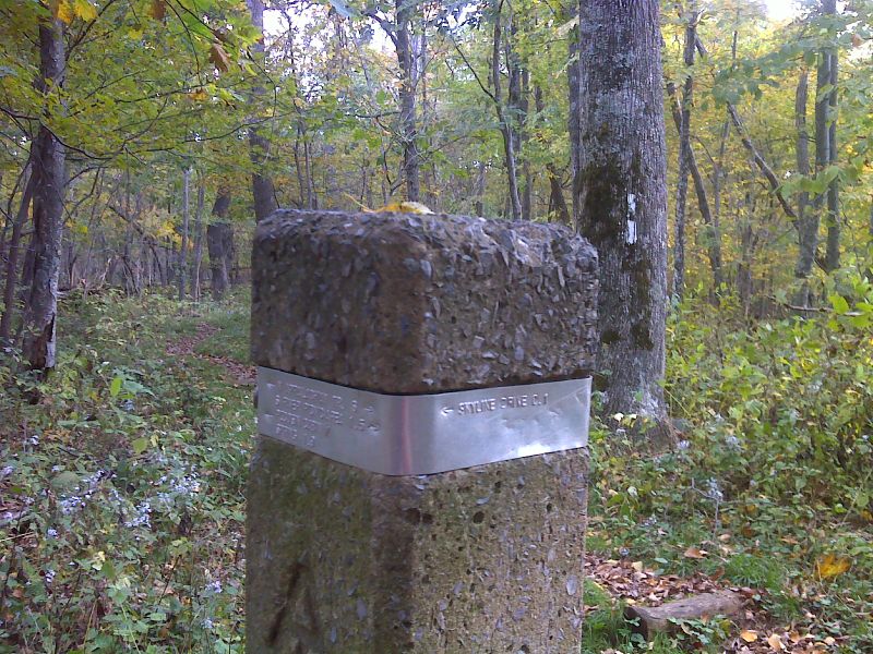
mm 14.2 Junction with an old road which leads west past the site of a CCC camp to Skyline Drive at MP 61.8 GPS 38.3916 W78.5055
Submitted by pjwetzel @ gmail.com
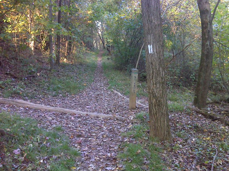
mm 15.6 Junction with South River Falls Trail. In the direction shown it is 0.1 miles to South River Picnic Area with parking and water. GPS N38.3803 W78.5161
Submitted by pjwetzel @ gmail.com