VA Section 11 Pictures - Milemarker 0.0 - 2.8
Swift Run Gap - Hightop Mt.
Move your mouse across the pictures for more information.
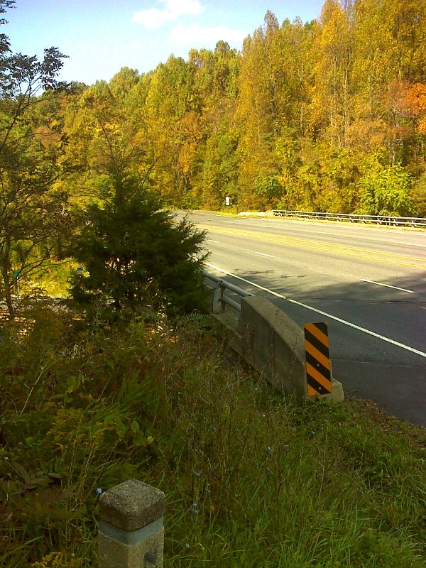
mm 0.0 The trail follows Skyline Drive and crosses over US 33 on this highway bridge in Swift Run Gap. GPS 38.3565 W 78.5454
Submitted by pjwetzel @ gmail.com
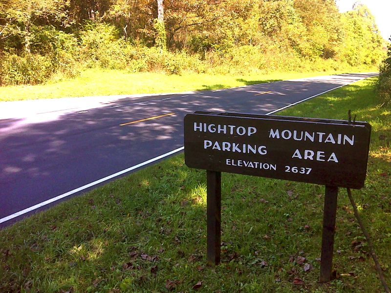
mm 1.3 Crossing of Skyline Drive at MP 66.7. A parking area is just out of view to the left. GPS 38.3449 W 78.5530
Submitted by pjwetzel @ gmail.com

mm 2.8 Views with berries from near summit of Hightop Mountain GPS 38.3373 W 78.5529
Submitted by pjwetzel @ gmail.com

mm 2.8 - View from ledge near summit of Hightop, highest peak in South District of Shenandoah National Park
Submitted by dlcul @ conncoll.edu

mm 2.8 - View from ledge near summit of Hightop (May 2004)
Submitted by dlcul @ conncoll.edu

mm 2.8 - View from ledge near summit of Hightop (May 2004)
Submitted by dlcul @ conncoll.edu

mm 2.8 Excellent view to the southwest from main viewpoint near the summit of Hightop Mt. GPS 38.3366 W 78.5533
Submitted by pjwetzel @ gmail.com
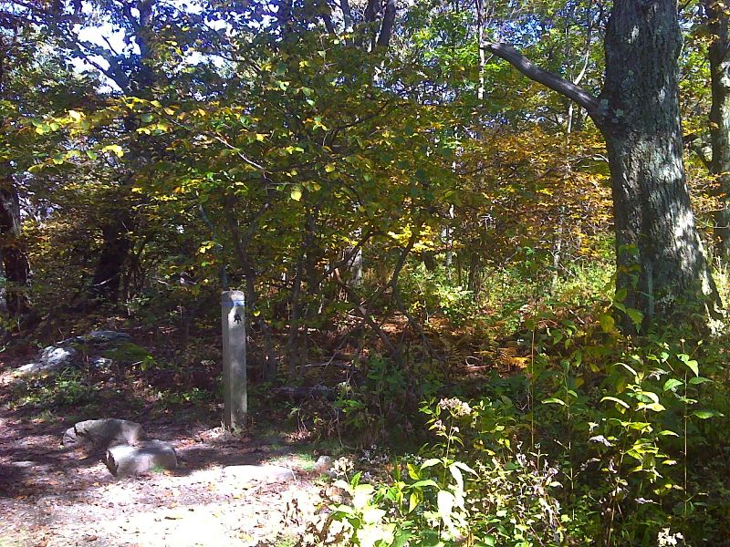
mm 2.8 Hightop Mt. summit marker just south of the view points. The side trail leads to site of former firetower. GPS 38.3363 W 78.5528
Submitted by pjwetzel @ gmail.com