VA Section 12 Pictures - Milemarker 1.9 - 5.1
Pinefield Gap - Ivy Creek
Move your mouse across the pictures for more information.

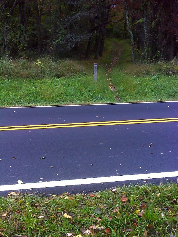
mm 1.9 Trail crossing of Skyline Drive in Pinefield Gap (MP 75.2). GPS N38.2904 W 78.6419
Submitted by pjwetzel @ gmail.com

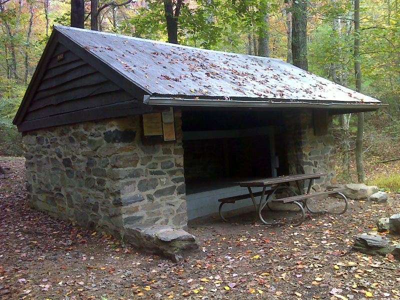
mm 2.1 Pinefield Hut. GPS N38.2906 W78.6457
Submitted by pjwetzel @ gmail.com

mm 3.7 - View from Ivy Creek Overlook
Submitted by dlcul @ conncoll.edu

Loft Mountain from north. The AT goes up and over this mountain.
Submitted by dlcul @ conncoll.edu

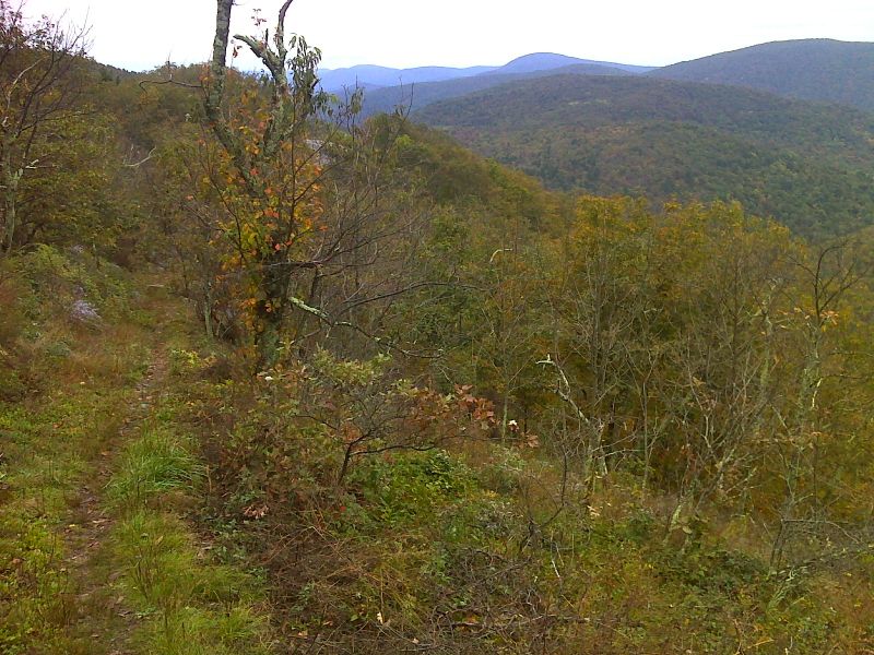
Looking north from hillside viewpoint south of Ivy Creek Overlook. GPS N38.2906 W78.6457
Submitted by pjwetzel @ gmail.com

mm 4.5 Another viewpoint south of Ivy Creek Overlook. Skyline Drive is visible, GPS N38.2757 W78.6637
Submitted by pjwetzel @ gmail.com

mm 5.1 - Ivy Creek
Submitted by dlcul @ conncoll.edu