VA Section 12 Pictures - Milemarker 5.8 - 8.7
Ivy Spring Trail - Near Loft Mountain Campground
Move your mouse across the pictures for more information.
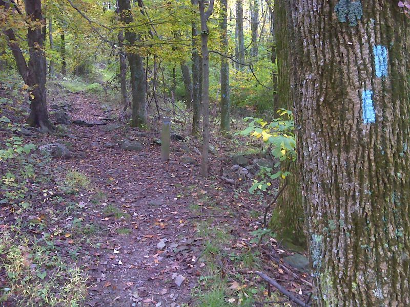
mm 5.8 Junction with blue-blazed side trail to Ivy Spring. This route eventually leads to the Skyline Drive just north of the Loft Mountain Wayside. This is probably the easiest route to the Wayside from the trail. GPS N38.2660 W78.6535
Submitted by pjwetzel @ gmail.com

View east from near Loft Mt. summit. GPS N38.2629 W78.6487
Submitted by pjwetzel @ gmail.com
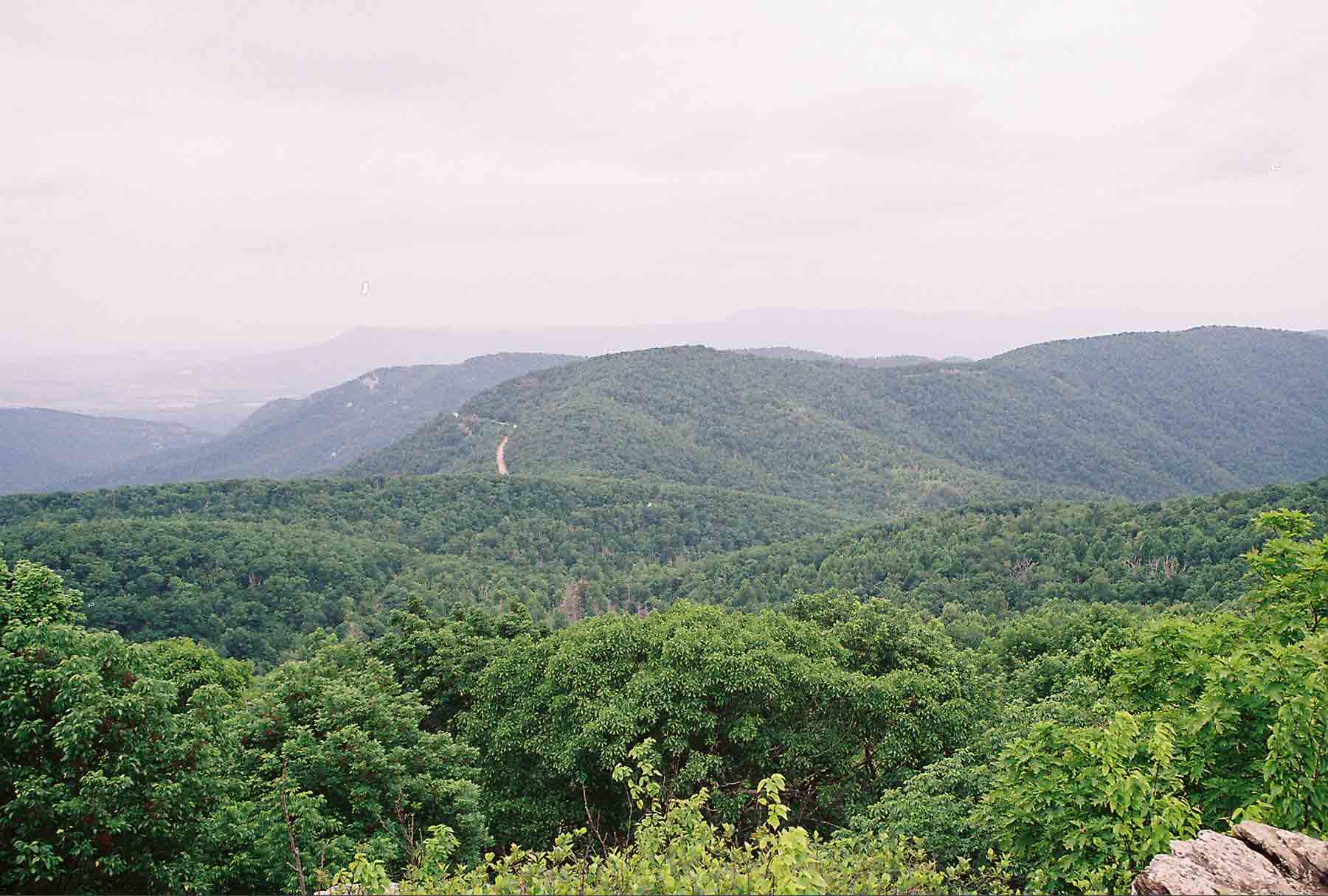
mm 6.7 - View northwest from Loft Mountain
Submitted by dlcul @ conncoll.edu

mm 6.7 View to northwest from near Frazier Discovery Trail. GPS N38.2603 W78.6719
Submitted by pjwetzel @ gmail.com
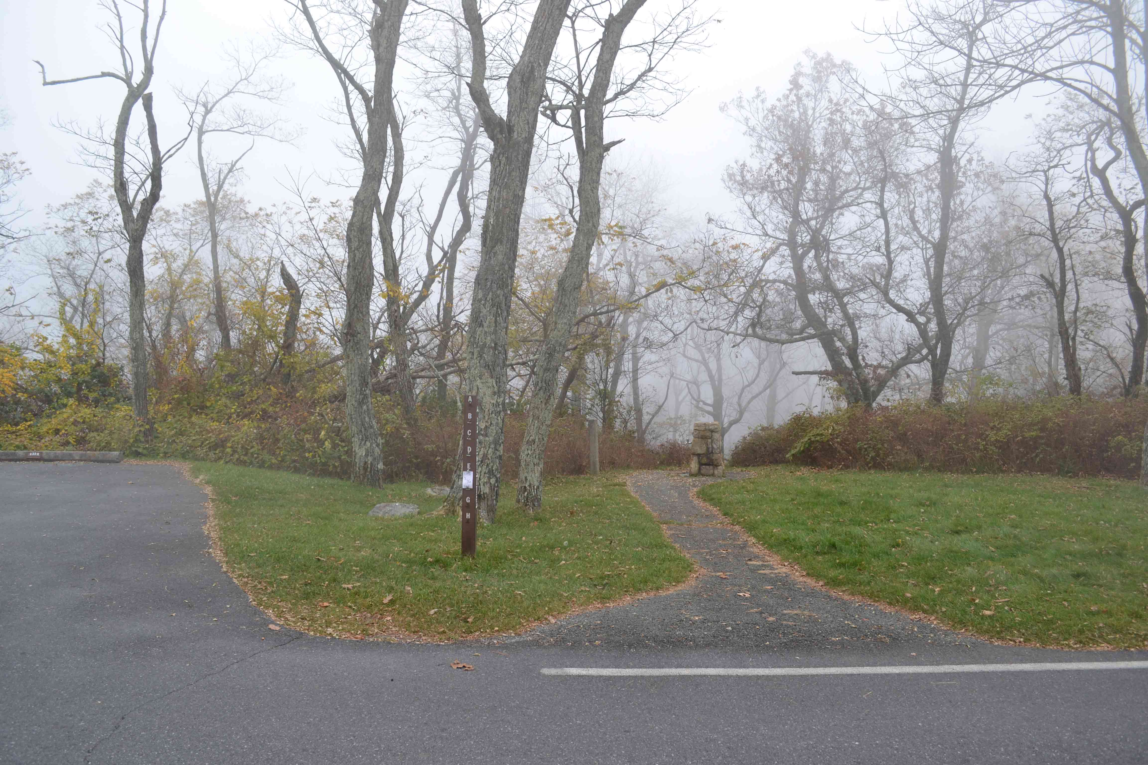
Trail head in Loft Mountain campground at mm 8.5
to AT. gps N38.24499 W78.67009
Submitted by at @ rohland.org
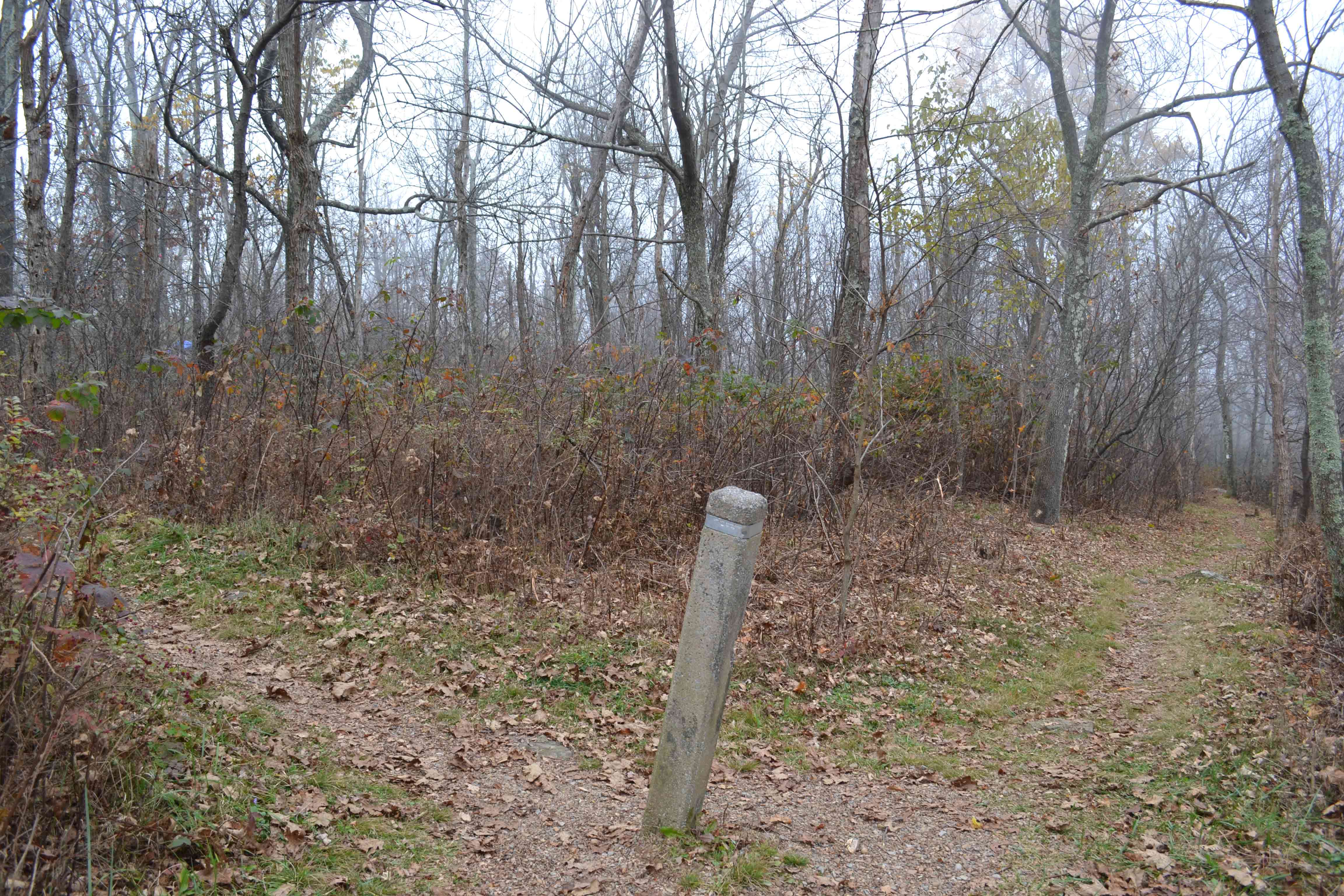
Trail post on AT denoting side trail to Loft
Mountain campground approximately 150 yds. Water available. GPS N38.24384
W78.66988
Submitted by at @ rohland.org
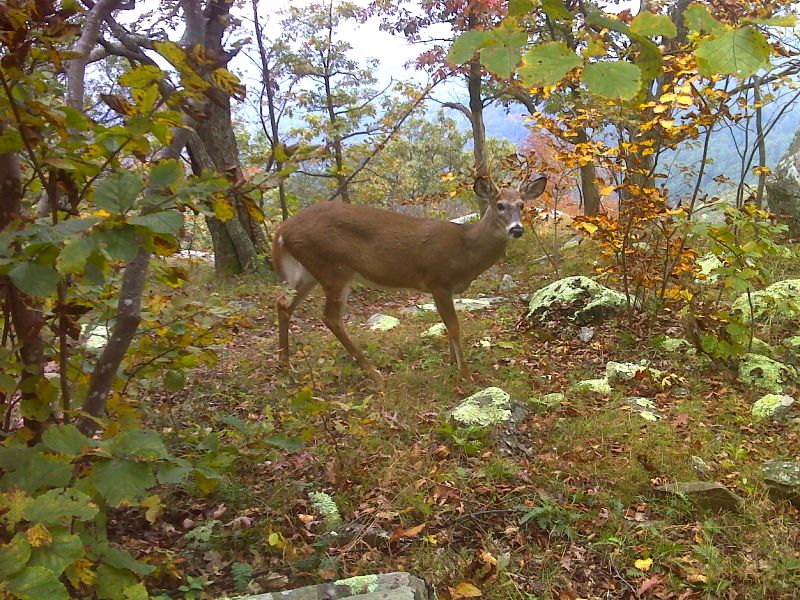
Two point buck near Loft Mt. Campground. Like most deer in Shenandoah, he is totally unconcerned about humans. GPS N38.2468 W78.6740
Submitted by pjwetzel @ gmail.com

Fall color--columbine and red maple seedling. GPS N38.2431 W78.6719
Submitted by pjwetzel @ gmail.com