VA Section 12 Pictures - Milemarker 8.7 - 11.3
Near Loft Mt. Campground - Skyline Drive Crossing (MP 82.2)
Move your mouse across the pictures for more information.

Witch hazel in bloom on Big Flat Mt. GPS N38.2447 W78.6735
Submitted by pjwetzel @ gmail.com

View south from Big Flat Mt. GPS N38.2471 W78.6741
Submitted by pjwetzel @ gmail.com

View from trail between mm 8.5 and 9.0
Submitted by at @ rohland.org

View from trail between mm 8.5 and 9.0
Submitted by at @ rohland.org

View from trail between mm 8.5 and 9.0
Submitted by at @ rohland.org
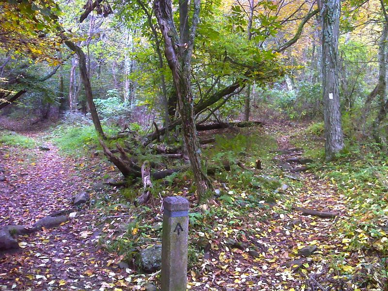
mm 9.2 Junction with side trail (0.3 miles) to Loft Mt. Campground Amphitheater. The Campground store is just beyond. GPS N38.2500 W78.6733
Submitted by pjwetzel @ gmail.com
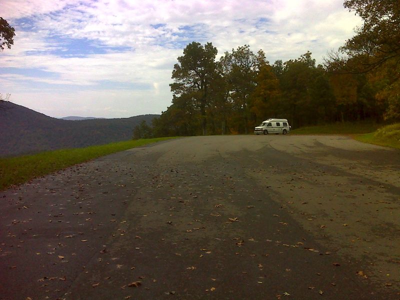
mm 10.9 Doyles River Overlook (MP 81.9). GPS N38.2468 W78.6938
Submitted by pjwetzel @ gmail.com

mm 11.3 Approaching AT crossing of Skyline Drive at MP 82.2. GPS N38.2468 W78.6938
Submitted by pjwetzel @ gmail.com