VA Section 13 Pictures - Milemarker 0.0 - 2.5
Browns Gap - Blackrock
Move your mouse across the pictures for more information.
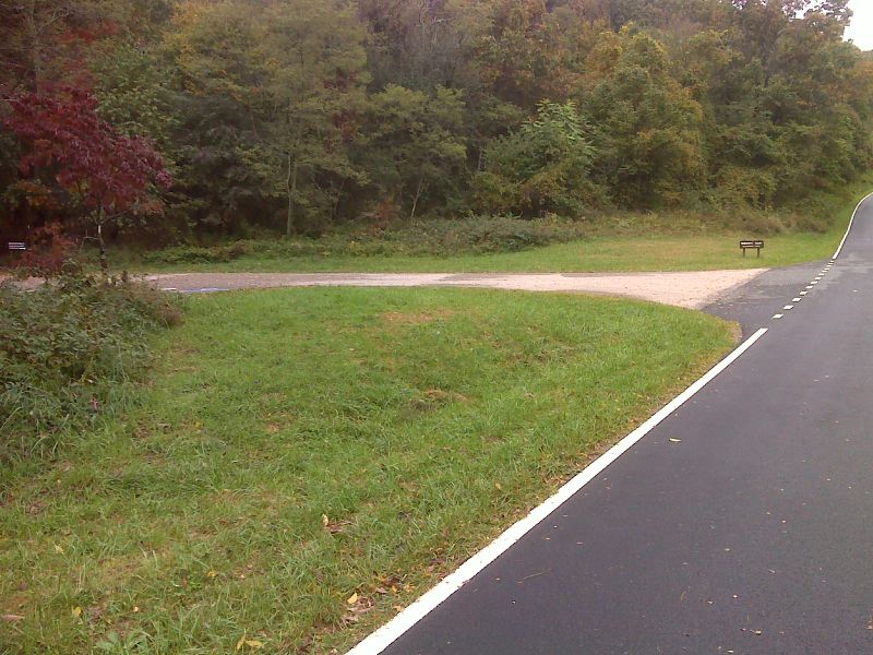
mm 0.0 The AT crosses Skyline Drive in Browns Gap (MP 82.9). The driveway seen on the left leads to a parking area. GPS N38.2403 W78.7108
Submitted by pjwetzel @ gmail.com
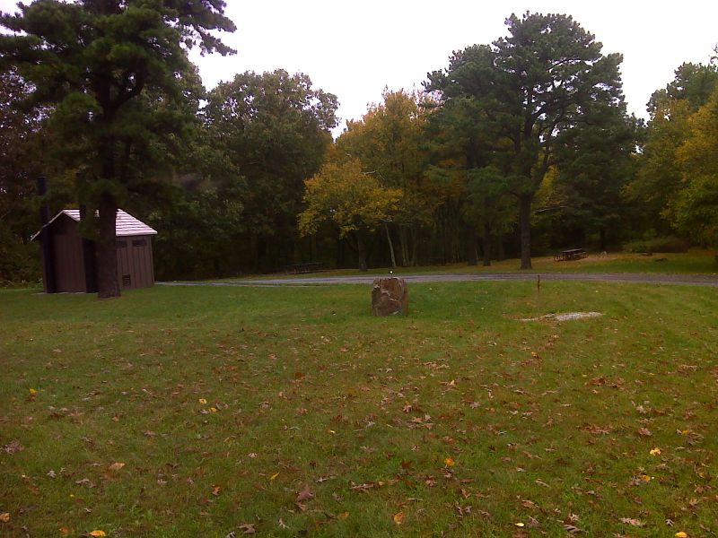
mm 0.4 Dundo Group Campground with restrooms and water. 3 marked access trails from the AT lead to it. GPS N38.2352 W78.7176
Submitted by pjwetzel @ gmail.com
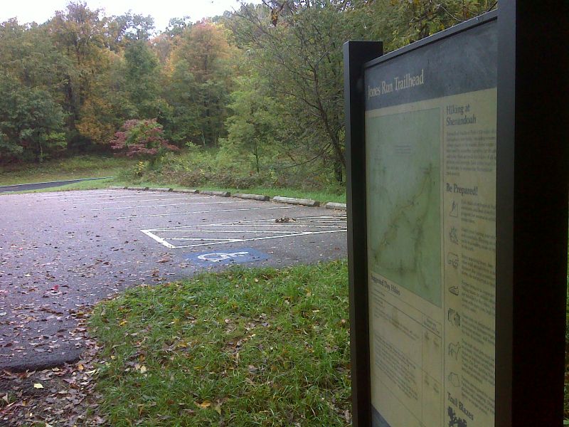
mm 1.3 Jones Run parking area. GPS N38.2299 W78.7261
Submitted by pjwetzel @ gmail.com
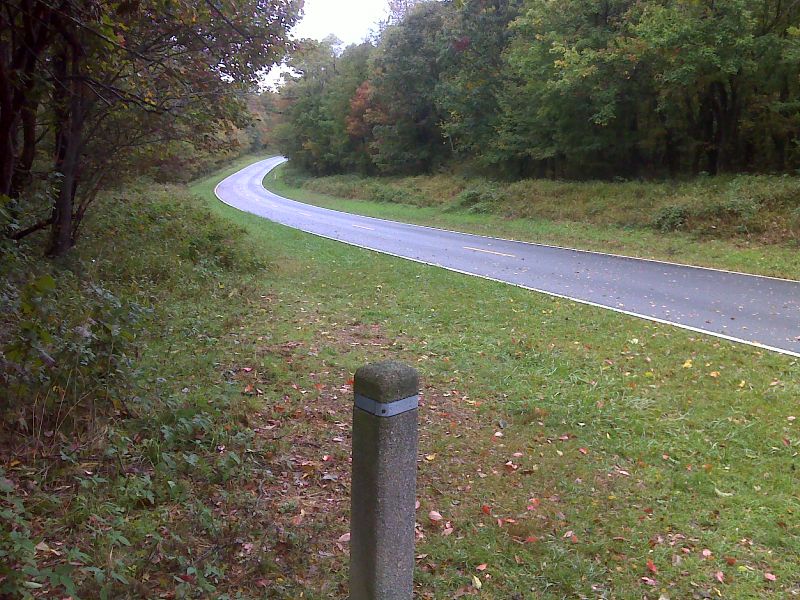
mm 1.5 AT crosses Skyline Drive south of Jones Run parking area (MP 84.3). GPS N38.2283 W78.7281
Submitted by pjwetzel @ gmail.com
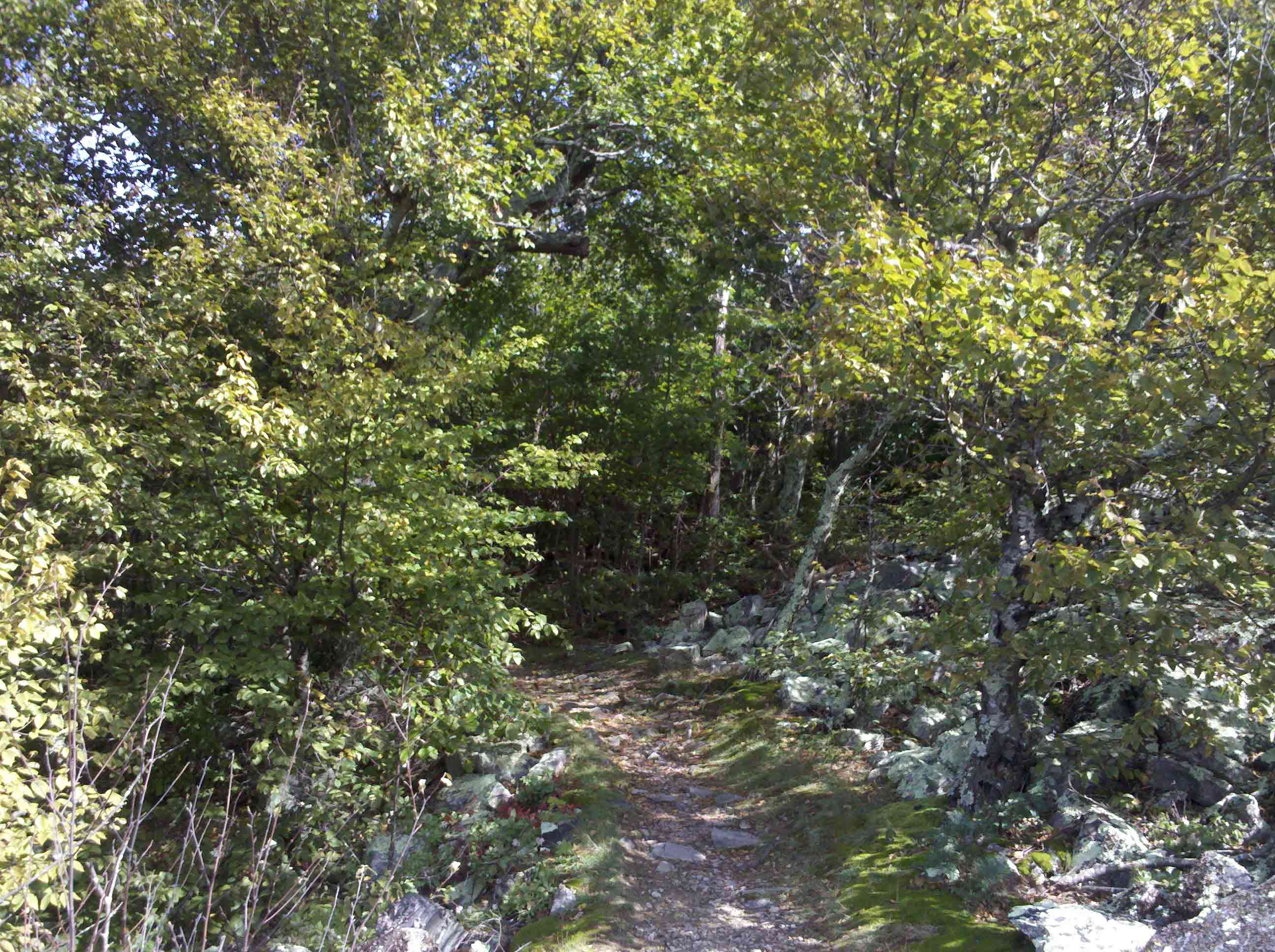
mm 2.5 Trail looking back north after coming out onto the rocks at Blackrock.
Submitted by fullcount.tom @ gmail.com

mm 2.5 - View west from Blackrock in South District of Shenandoah National Park
Submitted by dlcul @ conncoll.edu
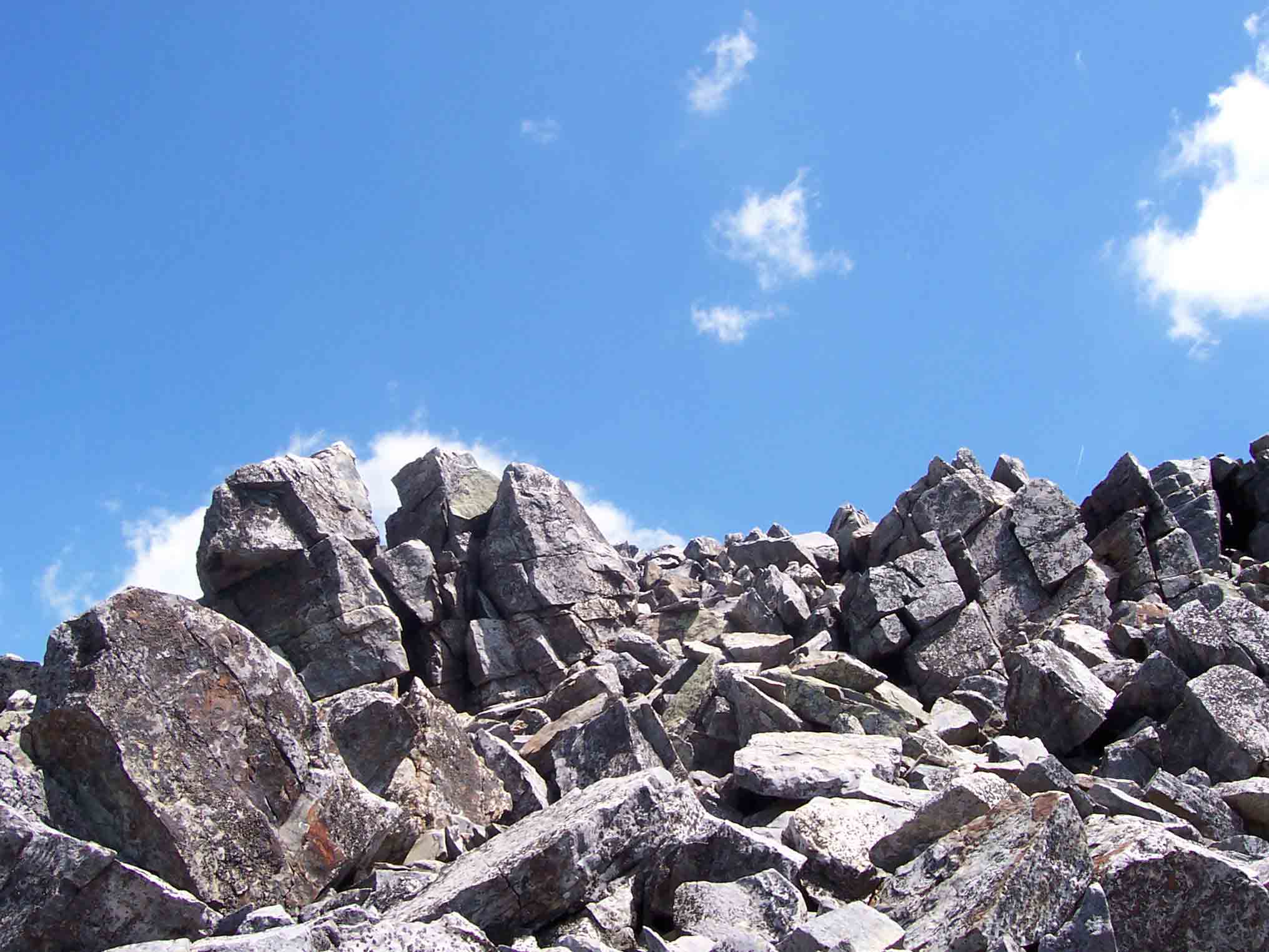
mm 2.5 - Jumble of Rocks at summit of Blackrock in Shenandoah National Park
Submitted by dlcul @ conncoll.edu

mm 2.5 - View south from Blackrock in South District of Shenandoah National Park
Submitted by dlcul @ conncoll.edu