VA Section 13 Pictures - Milemarker 2.5 - 6.3
Blackrock - Riprap Trail
Move your mouse across the pictures for more information.
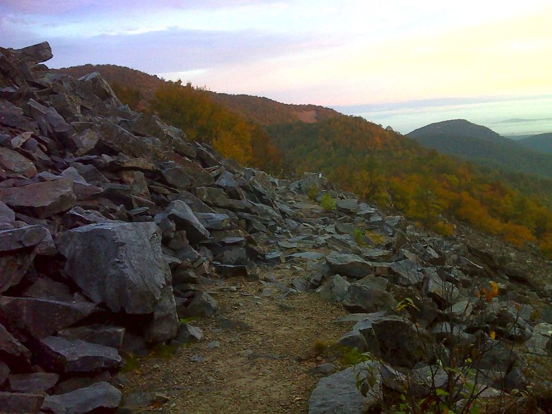
mm 2.5 Blackrock. GPS N38.2067 W78.7496
Submitted by pjwetzel @ gmail.com
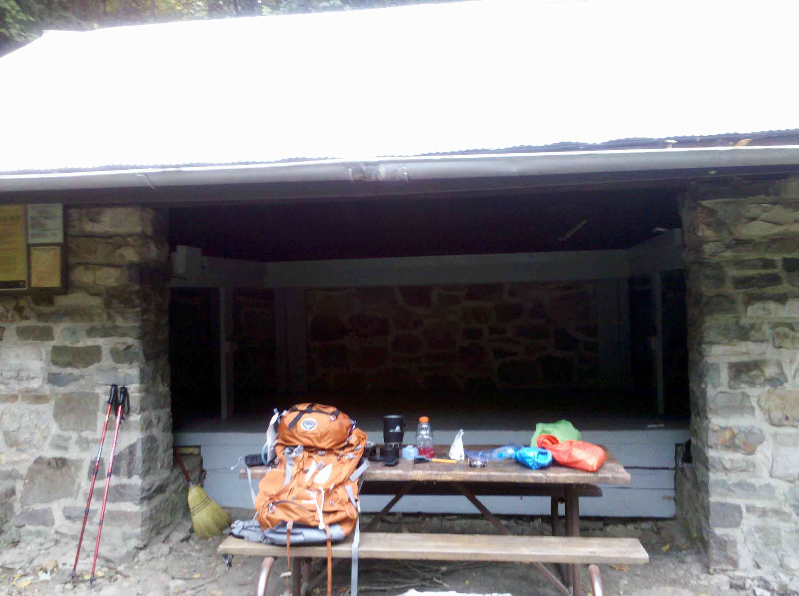
Inside of Blackrock Hut - double decker. Camping to the right side of this view and behind the shelter.
Submitted by fullcount.tom @ gmail.com
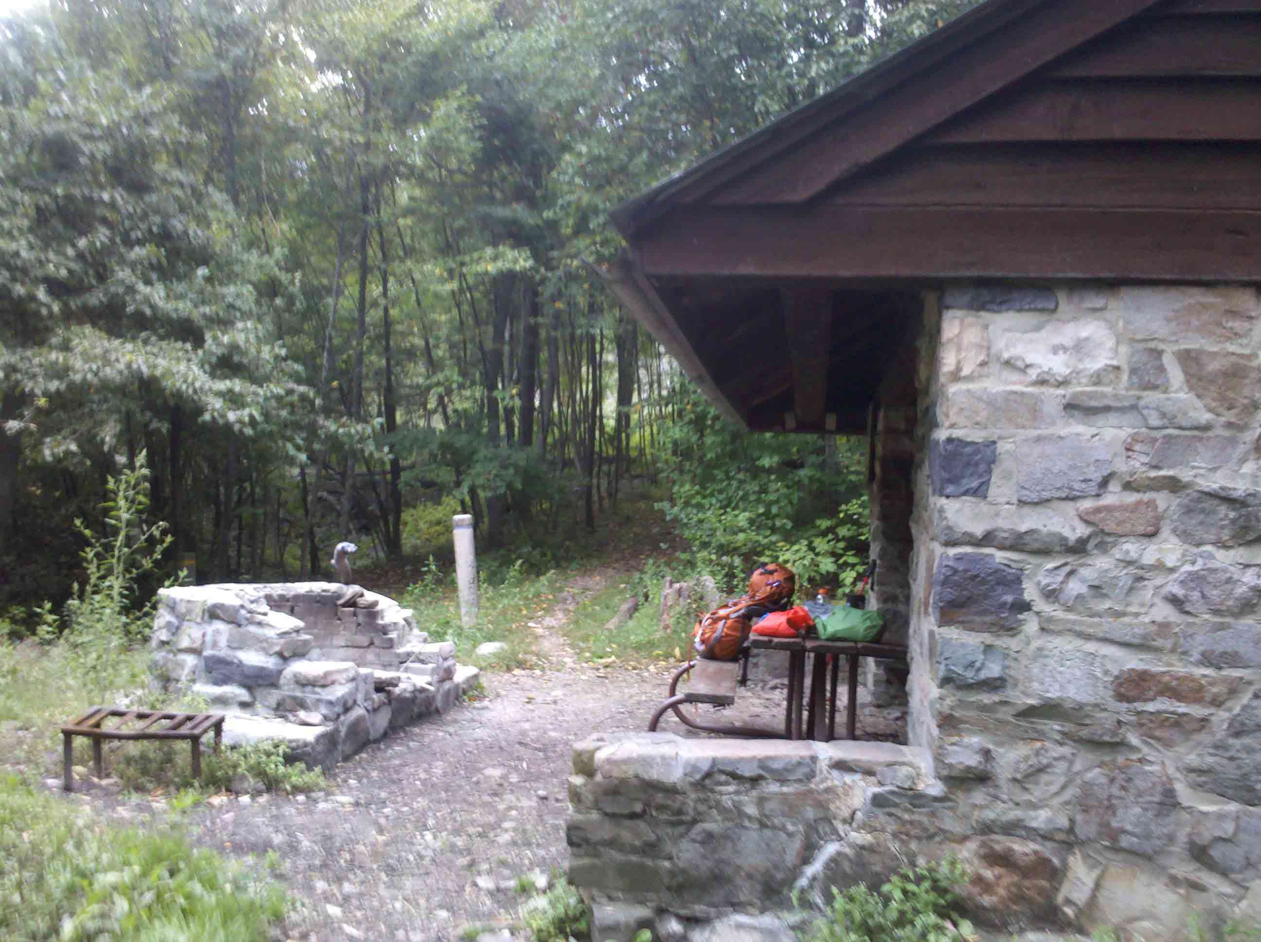
Blackrock Hut at bottom of hill, approx. .2 miles off trail. Spring is hard to get water, but running most of the time.
Submitted by fullcount.tom @ gmail.com
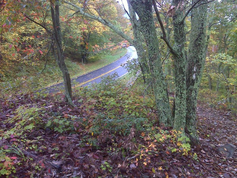
mm 3.6 The southbound trail approach the crossing of Skyline Drive at MP 87.2. GPS N38.2098 W78.7477
Submitted by pjwetzel @ gmail.com
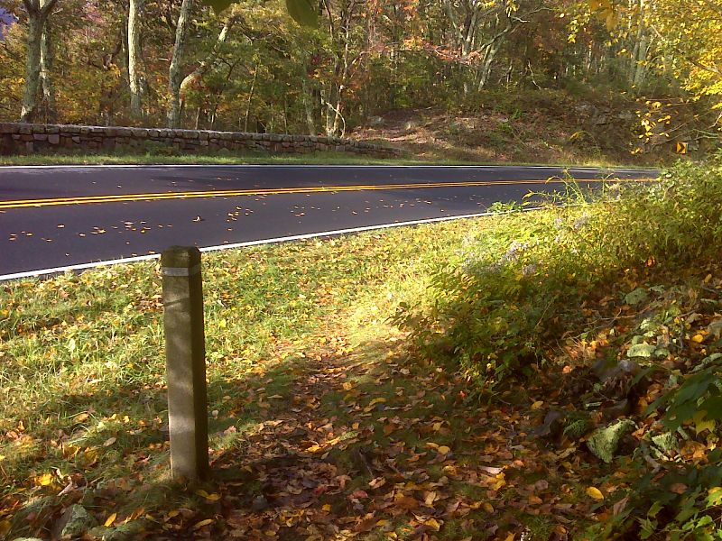
mm 3.6 The northbound trail approaches the crossing of Skyline Drive at MP 87.2. No parking here. GPS N38.2094 W78.7479
Submitted by pjwetzel @ gmail.com
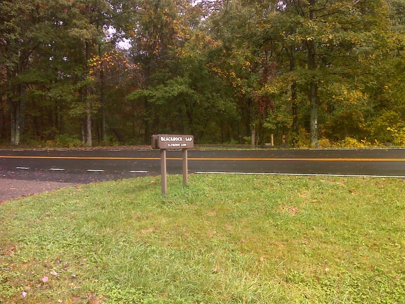
mm 3.8 Blackrock Gap. The AT runs along the east side of Skyline Drive and comes close to the road here, but it does not cross. There is a parking area here. GPS N38.2067 W78.7496
Submitted by pjwetzel @ gmail.com
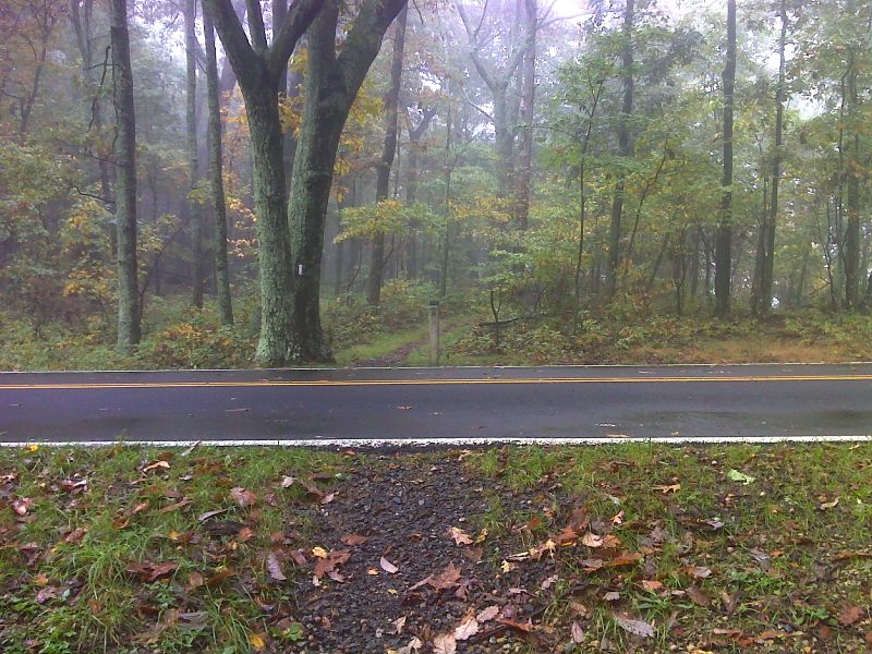
mm 5.6 Pretty trail crossing of Skyline Drive at MP 88.9 GPS N38.1594 W78.7570
Submitted by pjwetzel @ gmail.com
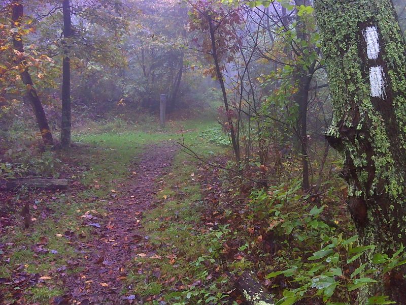
mm 6.3 Junction with the blue-blazed Riprap Trail. GPS N38.1824 W78.7620
Submitted by pjwetzel @ gmail.com