VA Section 13 Pictures - Milemarker 13.3 - 15.1
Sawmill Ridge Overlook - Jarman Gap
Move your mouse across the pictures for more information.

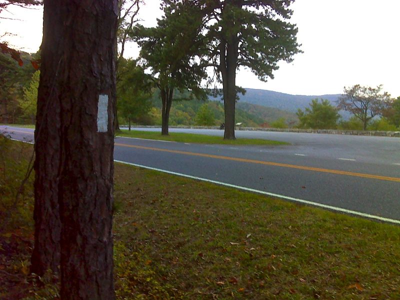
mm 13.3 AT crossing of Skyline Drive drive north of Sawmill Ridge Overlook (MP 95.3). GPS N38.1140 W78.7839
Submitted by pjwetzel @ gmail.com

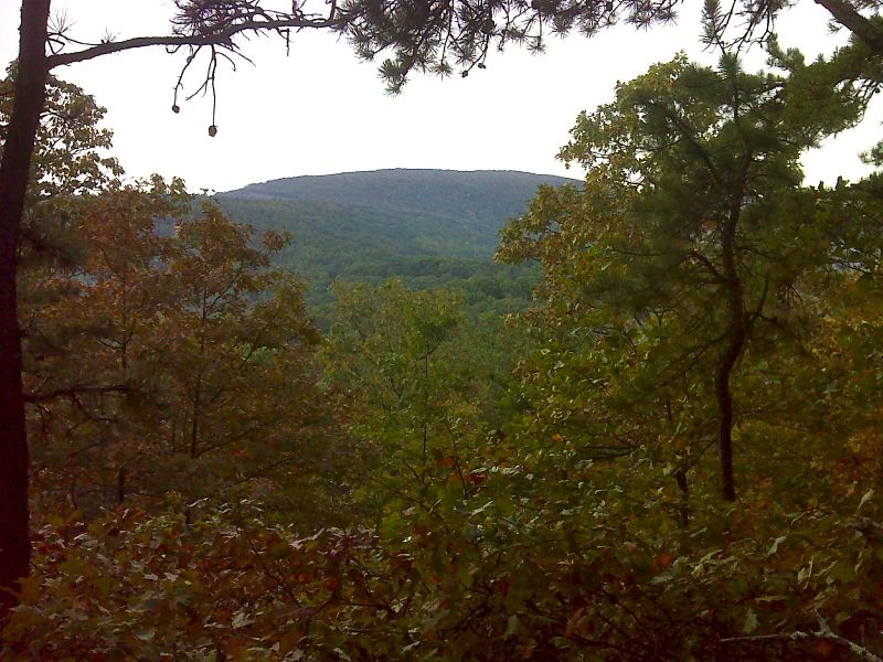
mm 13.8 View of Calf Mt. GPS N38.1076 W78.7812
Submitted by pjwetzel @ gmail.com

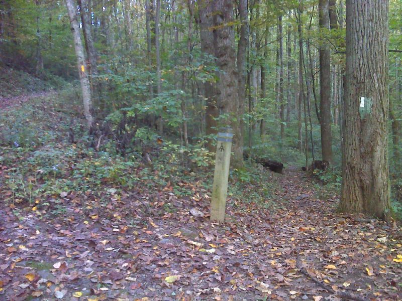
mm 14.9 Junction with the Moormans River fire road. The northbound AT goes right. The fire road (yellow blazes) can be followed about 0.2 miles to the parking area in Jarman Gap. GPS N38.0975 W78.7788
Submitted by pjwetzel @ gmail.com

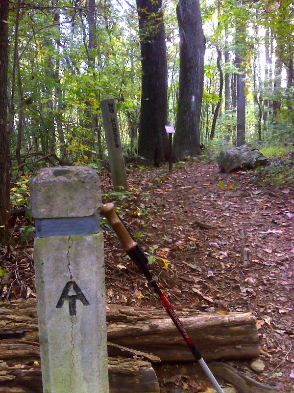
mm 15.1 The northbound trail leaves Bucks Elbow Mt. Fire Road. Parking is 0.1 miles away at the Jarman Gap parking area. GPS N38.0964 W78.7803
Submitted by pjwetzel @ gmail.com
View of Parking Area at Jarman Gap. The Moormans River Fire Road starts at the grassy area on the left side of the lot and goes downhill to meet the AT at mile 13.9. The Bucks Elbow Mt. Fire Road goes to the right from the nearer end of the lot and meets the AT in 0.1 miles (Mile 14.1 of Section 13 or Mile 0.0 of Section 14).
Submitted by dlcul @ conncoll.edu