VA Section 14 Pictures - Milemarker 0.0 - 2.2
Jarmans Gap - Little Calf Mt.
Move your mouse across the pictures for more information.
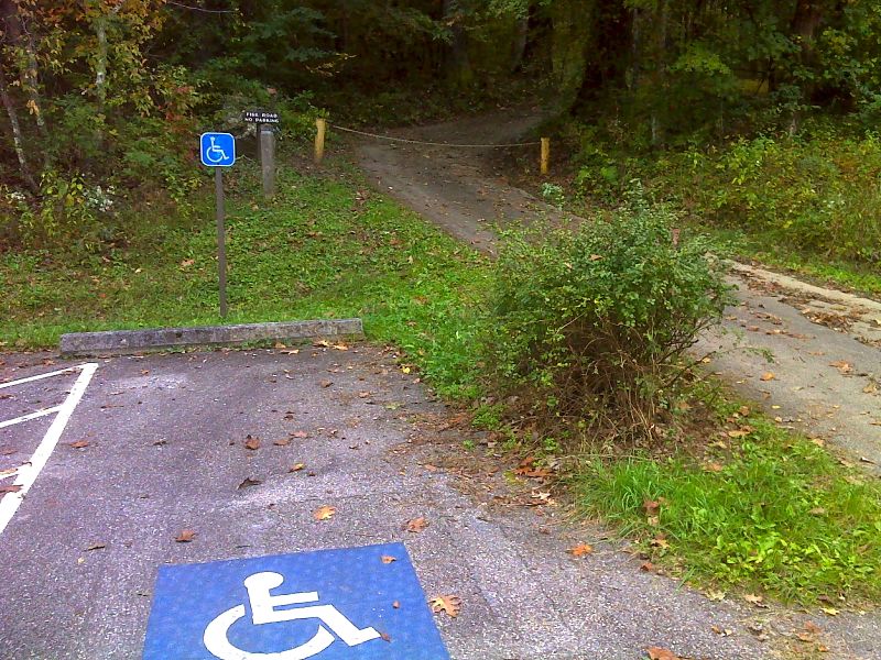
mm 0.0 Parking in Jarmans Gap. The trail can be reached by following the road in the picture (Bucks Elbow Mt. Fire Road) for 0.1 miles. GPS N38.0978 W78.7811.
Submitted by pjwetzel @ gmail.com
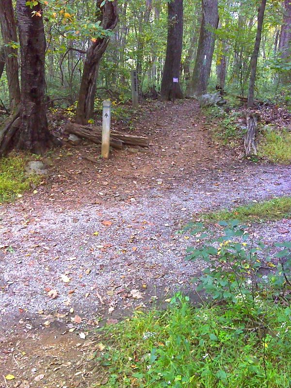
mm 0.0 Trail crossing of Bucks Elbow Mt. Fire Road in Jarmans Gap. GPS N38.0964 W78.7804.
Submitted by pjwetzel @ gmail.com
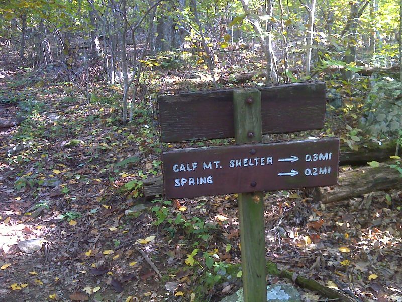
mm 1.0 Side Trail to Calf Mt. Shelter. GPS N38.0856 W78.7814.
Submitted by pjwetzel @ gmail.com
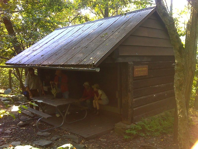
mm 1.0 Calf Mt. Shelter. GPS N38.0856 W78.7855.
Submitted by pjwetzel @ gmail.com
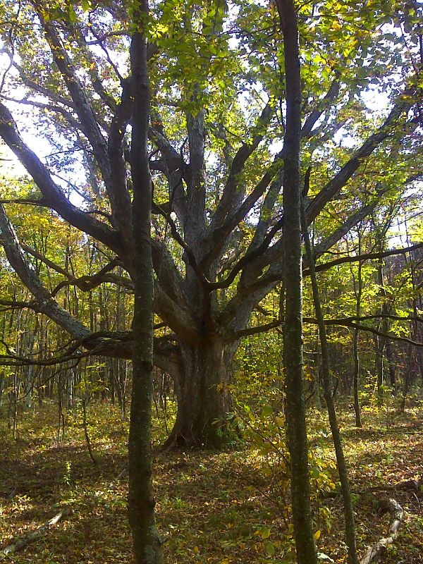
Old white oak on what was once open land on Calf Mt. GPS N38.0846 W78.7806.
Submitted by pjwetzel @ gmail.com
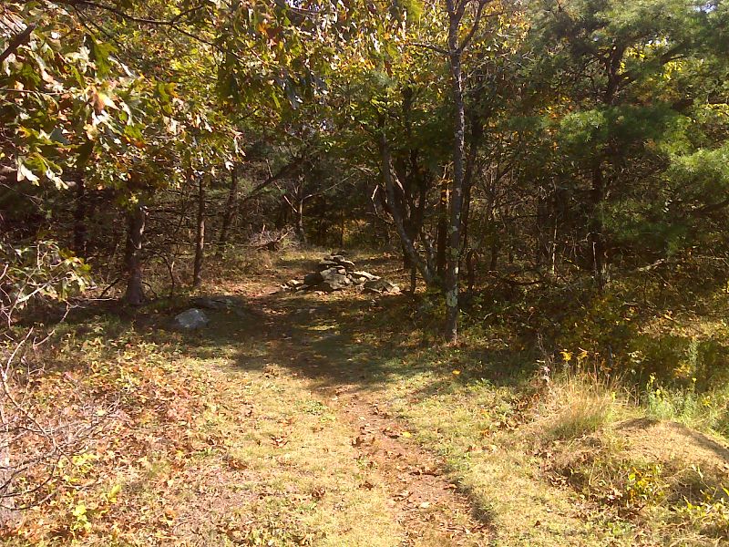
mm 1.6 Wooded summit of Calf Mountain. This was open land 50 years ago. GPS N38.0816 W78.7839.
Submitted by pjwetzel @ gmail.com
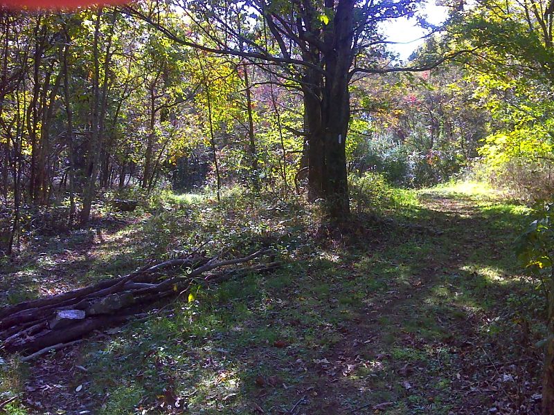
North junction with new (2012) re-route. The old AT went left. The new longer route goes right passing over the summit of Little Calf Mt. GPS N38.0798 W78.7895.
Submitted by pjwetzel @ gmail.com
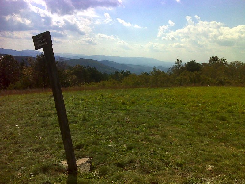
New AT re-route (2012) at the summit of Little Calf Mt. Taken at approx. mm 2.2. GPS N38.0788 W78.7942.
Submitted by pjwetzel @ gmail.com