VA Section 14 Pictures - Milemarker 3.7 - 8.7
Bear Den Mt. - Rockfish Gap
Move your mouse across the pictures for more information.
Tractor seats on 1st summit of Bear Den Mountain at Mile 3.7
Submitted by ideanna656 @ aol.com
The trail along the summit of Bears Den Mt. Much of this section of the AT is outside the national park which is why communication towers dot the summit. Taken from MM 3.0
Submitted by dlcul @ conncoll.edu
MM 5.0 - McCormick Gap. The southbound trail crosss the stile, goes down the road on the other side for a short distance, then veers right into the woods.
Submitted by dlcul @ conncoll.edu
MM 5.0 - McCormick Gap. The AT crosses Skyline Drive here. Northbound is to the left, southbound is to the right.
Submitted by dlcul @ conncoll.edu
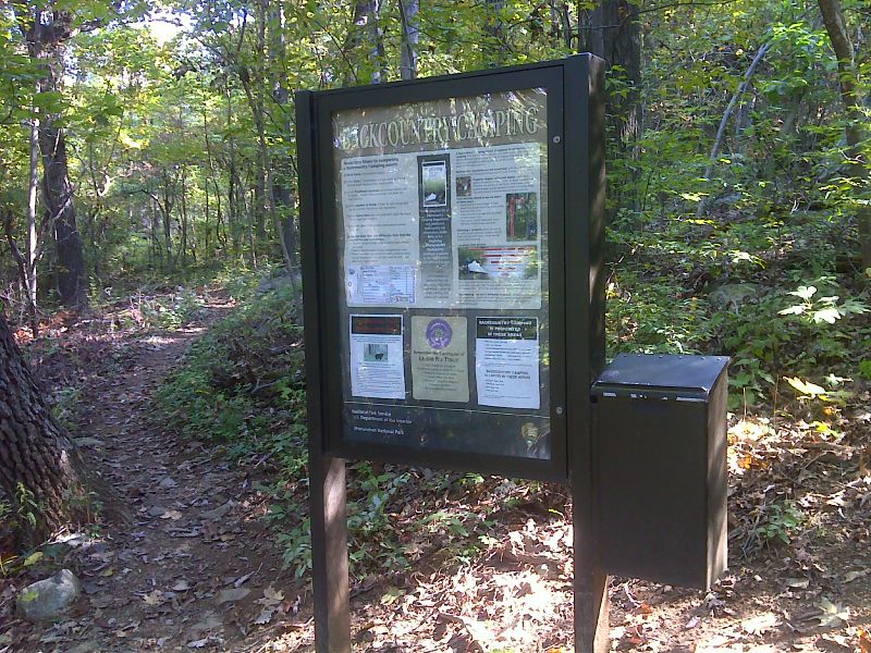
Self-registration at south end of Shenandoah Park. Taken at approx. mm 7.9 GPS N38.0360 W78.8556
Submitted by pjwetzel @ gmail.com
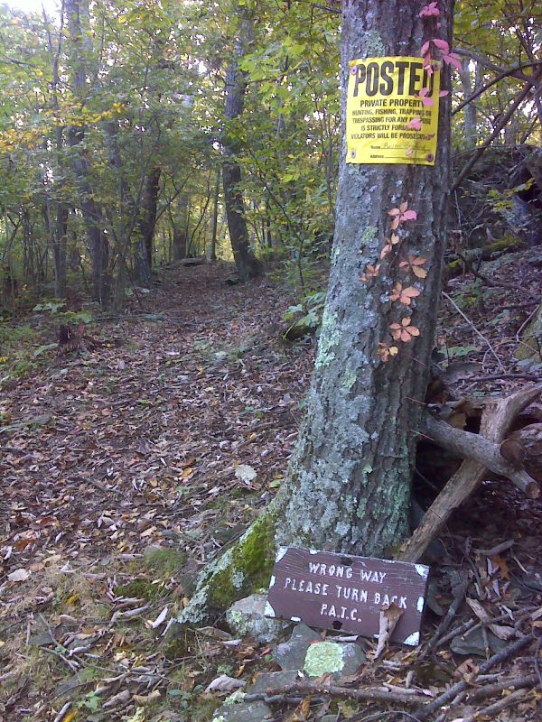
North of Rockfish Gap the trail runs through a narrow corridor with side trails leading to private land. GPS N38.0531 W78.8330
Submitted by pjwetzel @ gmail.com
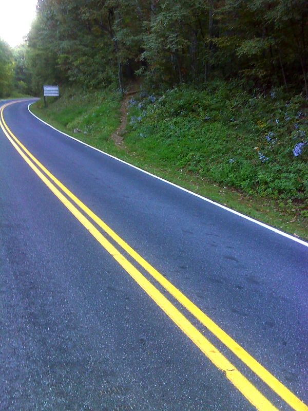
mm 8.4 From Rockfish Gap the northbound trail follows Skyline Drive across I-64 finally bearing right and entering the woods at this point. GPS N38.0341 W78.8590
Submitted by pjwetzel @ gmail.com
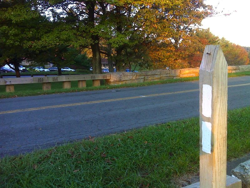
mm 8.7 Rockfish Gap. Ample parking at closed Howard Johnson Inn is behind. GPS N38.0310 W78.8579
Submitted by pjwetzel @ gmail.com
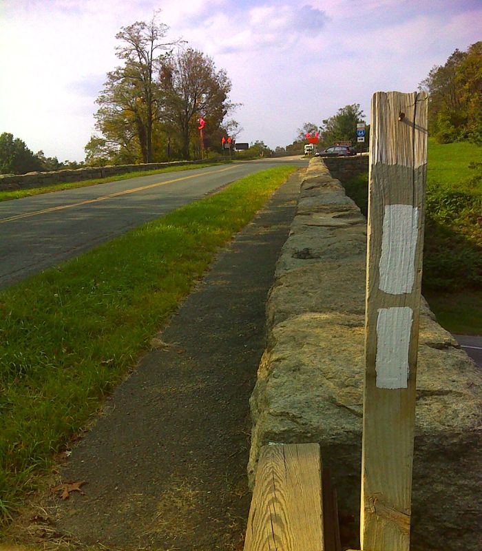
mm 8.7 Rockfish Gap looking north along Skyline Drive. This is the route of the north bound AT. Photo taken from point where the southbound trail leaves the Drive. GPS N38.3010 W78.8579
Submitted by dlcul @ conncoll.edu