VA Section 15 Pictures - Milemarker 0.0 - 9.8
Humpback Rocks - Three Ridges Overlook
Move your mouse across the pictures for more information.
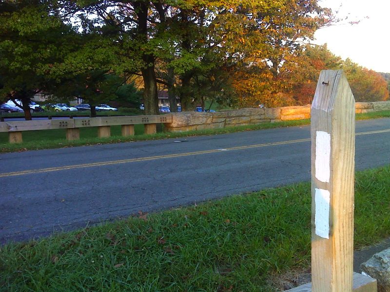
mm 0.0 Rockfish Gap. Ample parking at closed Howard Johnson Inn is behind. Photo taken from point where southbound trail leaves Skyline Drive. GPS N38.0310 W78.8579
Submitted by pjwetzel @ gmail.com
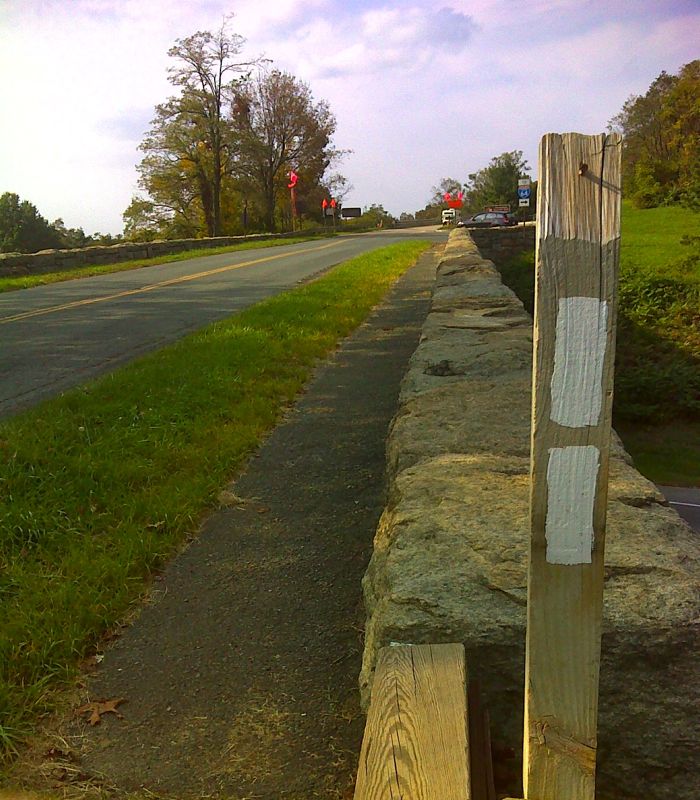
mm 0.0 Rockfish Gap looking north along Skyline Drive. This is the route of the north bound AT. Photo taken from point where the southbound trail leaves the Drive. GPS N38.3010 W78.8579
Submitted by pjwetzel @ gmail.com
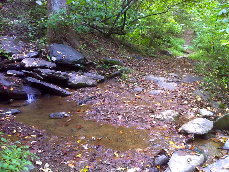
Pretty stream crossing one mile south of Rockfish Gap. N38.0227 W78.8658
Submitted by pjwetzel @ gmail.com
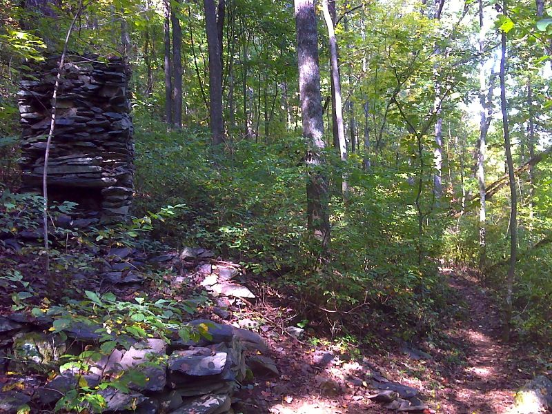
mm 3.3 Stone chimney along trail. According to the AT Guide, this is the site of a cabin belong to the Mayo family. N37.9912 W78.8808
Submitted by pjwetzel @ gmail.com
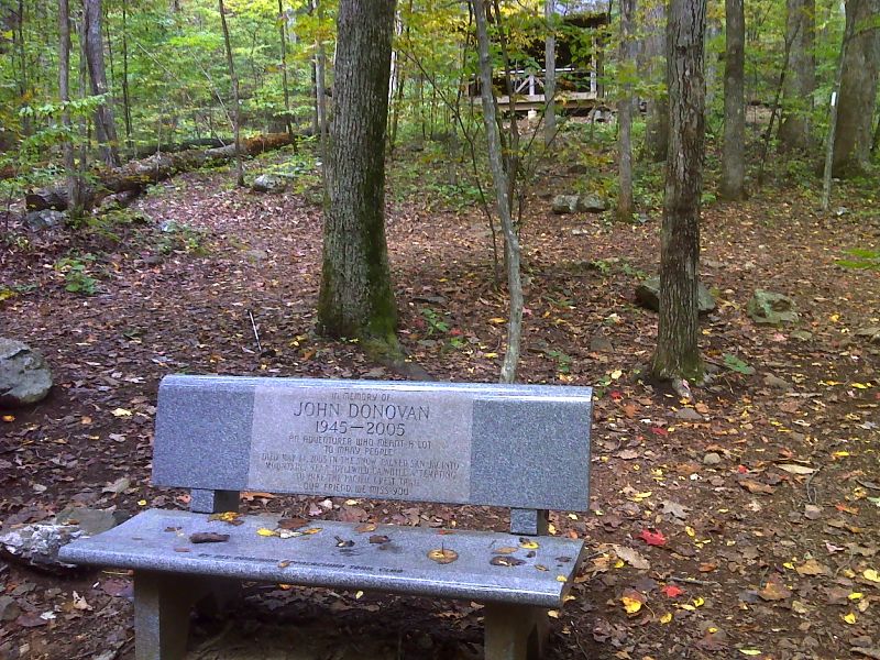
mm 5.0 Granite bench and memorial at Paul C. Wolfe Shelter. N37.9850 W78.8838
Submitted by pjwetzel @ gmail.com
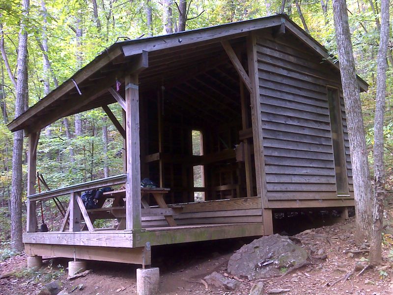
mm 5.0 Paul C. Wolfe Shelter. N37.9854 W78.8837
Submitted by pjwetzel @ gmail.com
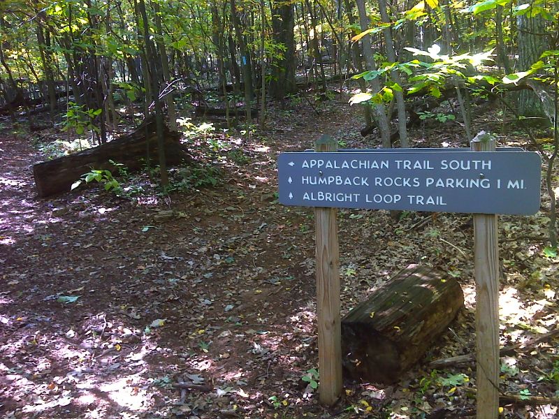
mm 6.5 Junction with the blue-blazed trail (old AT route) leading 1 mile to the Humpback Rocks parking area. N37.9781 W78.7885
Submitted by pjwetzel @ gmail.com
Parking area for Humpback Rocks. From here there is access to the AT at three points. Access to the trail at MM 6.5 follows a blue-blazed trail at the far end of the lot (north). The unblazed access to the trail at MM 7.6 starts just to the right of where the red car in the shade on the right (east) side of the picture was parked when picture was taken. Access to the trail at MM 10.5 follows a blue-blazed trail behind where the picture was taken (south).
Submitted by dlcul @ conncoll.edu
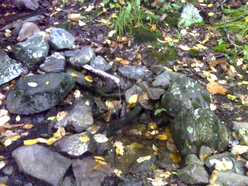
mm 9.8 Spring on north slopes of Humpback Mt. N37.9605 W78.7926
Submitted by pjwetzel @ gmail.com