VA Section 15 Pictures - Milemarker 10.5 - 13.4
Humpback Rocks Trail - Ledge North of Dripping Springs Rock
Move your mouse across the pictures for more information.
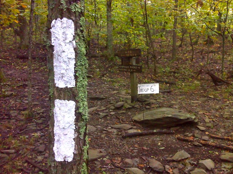
mm 10.5 Blue-blazed trail to Humpback Rocks. This trail is the old route of the AT. It is 0.3 miles to the views from Humpback Rcoks and another 0.9 miles to the Humpback Rocks parking area. GPS N37.9588 W78.9014
Submitted by pjwetezel @ gmail.com
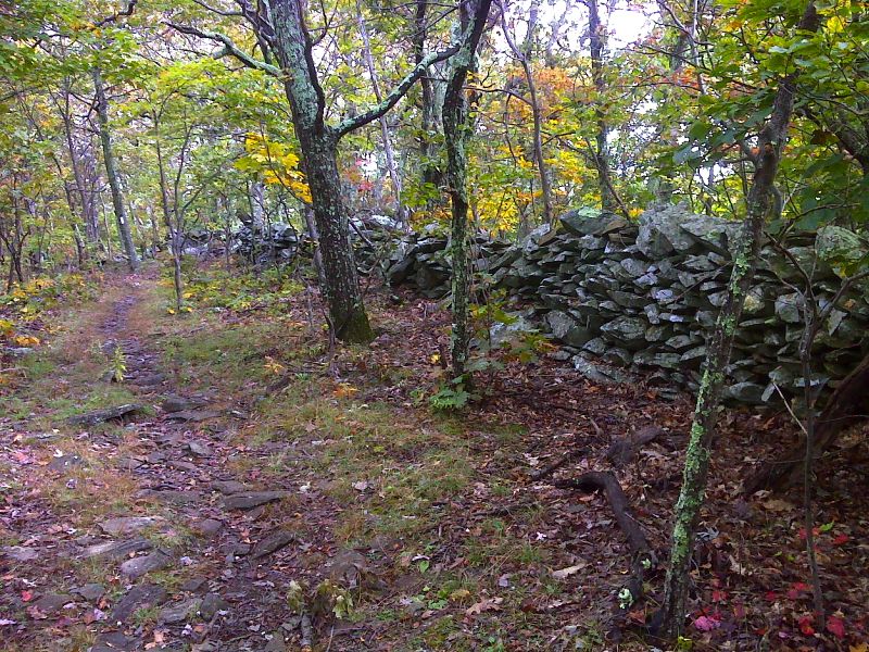
Well-preserved rock wall on Humpback Mountain. GPS N37.9549 W78.9009
Submitted by pjwetezel @ gmail.com
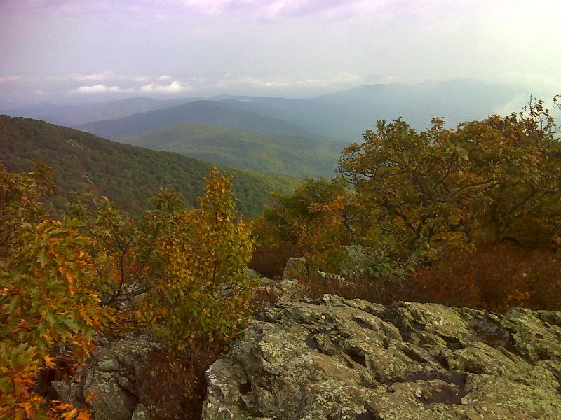
mm 11.5 View of Afton and Rockfish Gap from summit of Humpback Mt. GPS N37.9492 W78.8996
Submitted by pjwetezel @ gmail.com
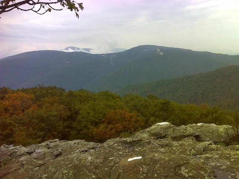
mm 12.5 View of Wintergreen Resort from south end of Humpback Mt. GPS N37.9445 W78.9114
Submitted by pjwetezel @ gmail.com
View of the trail head for the access trail to the AT from the Humpback Rocks picnic area. The access trail starts by the rock with the white AT symbol painted on it which is the background in the center of the picture. It is 0.3 miles to the AT at MM 13.1. Submitted by dlcul @ conncoll.edu
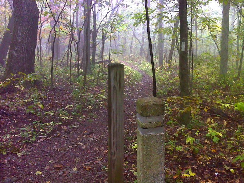
mm 13.1 Side trail leads 0.3 miles to Humpback Rocks Picnic Area. GPS N37.9442 W78.9211
Submitted by pjwetezel @ gmail.com

mm 13.4 - View west from ledge north of Dripping Rock Springs.In 2003 this was on the AT but the trail has been now been rerouted. The old route is a blue-blazed trail.
Submitted by dlcul @ conncoll.edu
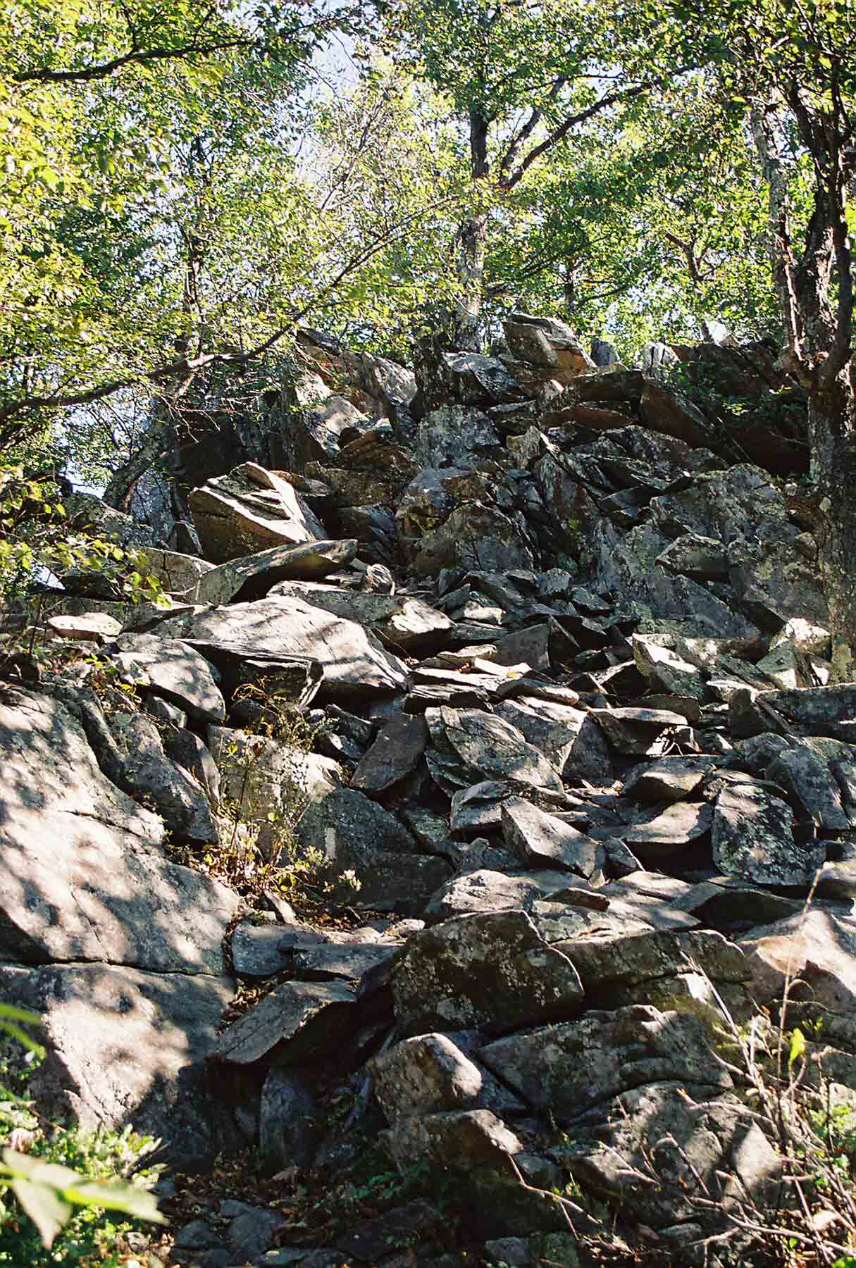
mm 13.4 - In 2003 the northbound AT climbed up these rocks to reach a good viewpoint on a ledge north of Dripping Rock Springs. The AT now bypasses this climb. The old route is blazed blue.
Submitted by dlcul @ conncoll.edu