VA Section 16 Pictures - Milemarker 0.0 - 1.7
Reeds Gap - Maupin field Shelter
Move your mouse across the pictures for more information.
mm 0.0 - Parking area along VA 664 in Reeds Gap. The road on the right is the Blue Ridge Parkway.
Submitted by dlcul @ conncoll.edu

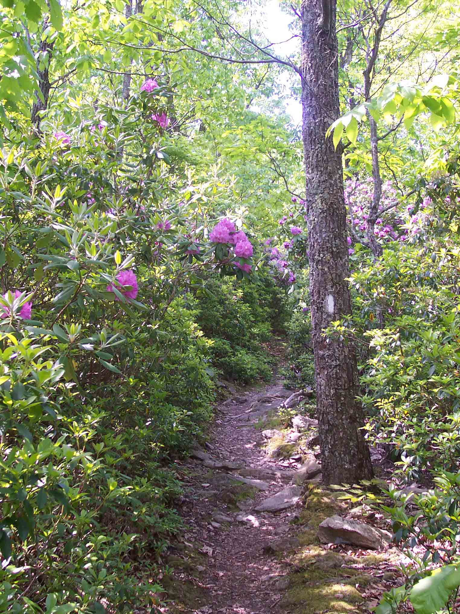
AT in late May near Meadow Mountain. Taken at approx. MM 0.3
Submitted by dlcul @ conncoll.edu

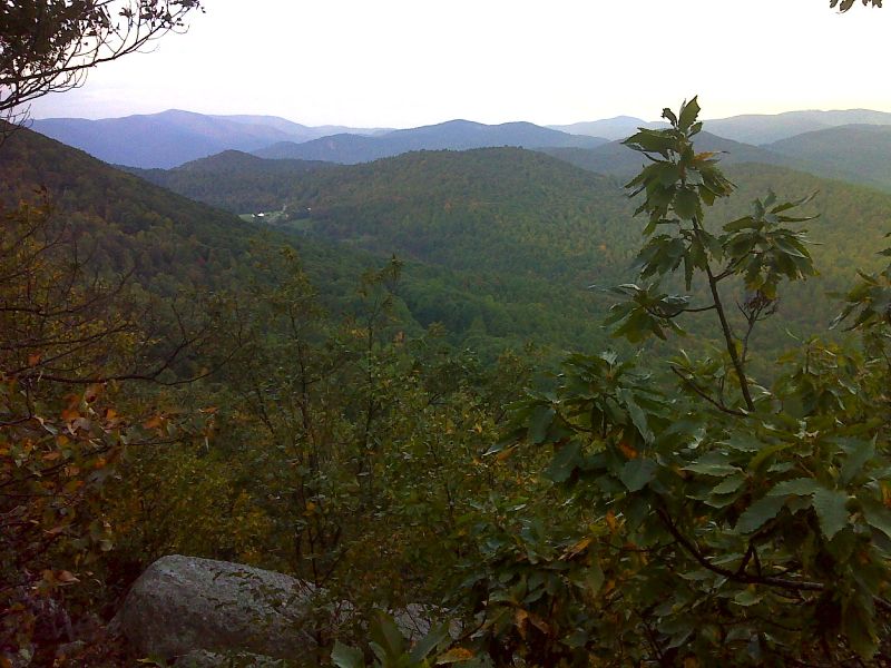
View south from ridge of Meadow Mountain near Reeds Gap. N37.8928 W78.9919
Submitted by pjwetzel @ gmail.com
mm 1.7 Love Gap on the Blue Ridge Parkway. From here a
forest road may be followed for 1.2 miles to meet the AT near Maupin Field
Shelter. The road goes into the woods at the center of the picture. The
very obvious dirt road in the picture is not the correct one.
Submitted by dlcul @ conncoll.edu
mm 1.7 Intersection of the AT with the forest road. The
northbound AT goes off to the left. The southbound trail goes straight
ahead on the road. The trail to Maupin Field Shelter (the beginning of the
Mau-Har trail) goes to the right.
Submitted by dlcul @ conncoll.edu
mm 1.7 Trail sign at the intersection of the AT with the
forest road.
Submitted by dlcul @ conncoll.edu
mm 1.7 Maupin Field Shelter, located a short distance off
the AT on the blue-blazed Maur-Har trail
Submitted by dlcul @ conncoll.edu
mm 1.7 View north from the Maupin Field Shelter along the
Maur-Har Trail. The AT is about 0.1 miles up this trail.
Submitted by dlcul @ conncoll.edu