VA Section 16 Pictures - Milemarker 6.4 - 10.7
Rock Slab Viewpoint - VA 56
Move your mouse across the pictures for more information.

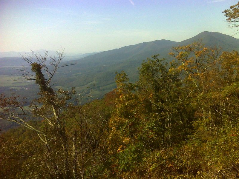
mm 6.4 View of the Priest and Little Priest from another rock slab trail south of the one in the previous pictures. GPS N37.8434 W78.9975
Submitted by pjwetzel @ gmail.com

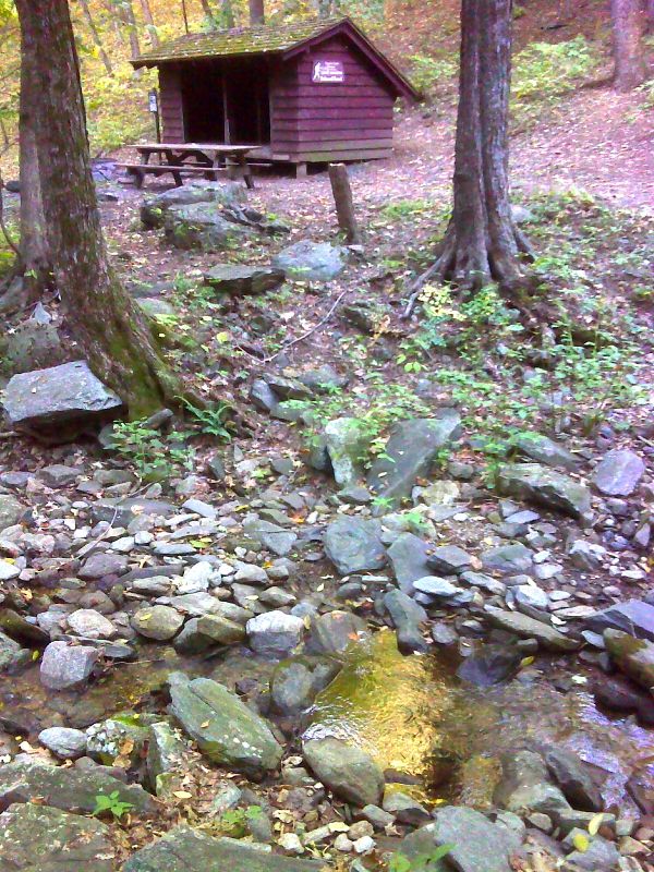
mm 7.9 Harpers Creek and Harpers Creek Shelter. GPS N37.8563 W79.0003
Submitted by pjwetzel @ gmail.com

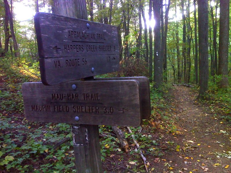
mm 8.8 South Junction with the Mau-Har Trail. GPS N37.8552 W79.0102
Submitted by pjwetzel @ gmail.com
North side of suspension bridge over Tye River at Mile 10.6
Submitted by ideanna656 @ aol.com
Side view of suspension bridge over Tye River (Mile 10.6)
Submitted by ideanna656 @ aol.com
Westerly view of Tye River from suspension bridge at Mile 10.6
Submitted by ideanna656 @ aol.com
mm 10.7 Parking on east (trail north) side of VA 56. There is a parking lot on the opposite side of the road. See pictures for Section 17.
Submitted by dlcul @ conncoll.edu