VA Section 17 Pictures - Milemarker 0.0 - 4.4
VA 56 - Priest Viewpoint
Move your mouse across the pictures for more information.
mm 0.0 Parking lot on west (trail south) side of VA 56. There is also a large parking pull off on the other side of the road. (See pictures for Section 16).
Submitted by dlcul @ conncoll.edu
Ascent of the priest in a cloud cover
Submitted by fullcount.tom @ gmail.com
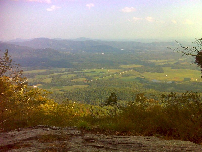
View of Silver Creek Valley from rocky outcrop at 2,891 feet on The Priest (Mile 2.7)
Submitted by ideanna656 @ aol.com

mm 2.7 Looking east towards Tye River and Silver Creek Valley from viewpoint at 2900 feet elevation on the side of The Priest. GPS N37.8253 W79.0435
Submitted by pjwetzel @ gmail.com
Near top of The Priest heading southbound
Submitted by fullcount.tom @ gmail.com
Summit of The Priest on a cloudy day
Submitted by fullcount.tom @ gmail.com
View of Main Top (on left, background) near the summit of The Priest at 4,063 ft. (Mile 4.4)
Submitted by ideanna656 @ aol.com
View of Three Ridges (on right) near the summit of The Priest at 4,063 ft. (Mile 4.4)
Submitted by ideanna656 @ aol.com