VA Section 17 Pictures - Milemarker 4.4 - 7.8
Priest Viewpoint - Cash Hollow Rock
Move your mouse across the pictures for more information.
View of Pinnacle Ridge (foreground) near the summit of The Priest at 4,063 ft. (Mile 4.4)
Submitted by ideanna656 @ aol.com
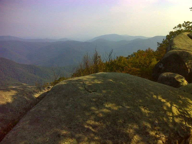
mm 4.4 View to the northwest from the viewpoint near the summit of the Priest. GPS N37.8202 W79.0667
Submitted by pjwetzel @ gmail.com
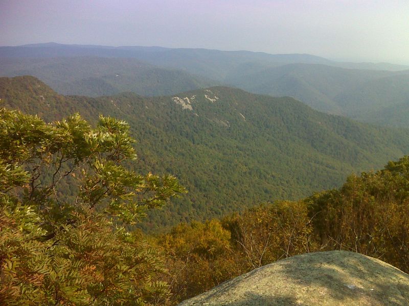
mm 4.4 Pinnacle Ridge from the viewpoint near the summit of the Priest. GPS N37.8203 W79.0667
Submitted by pjwetzel @ gmail.com
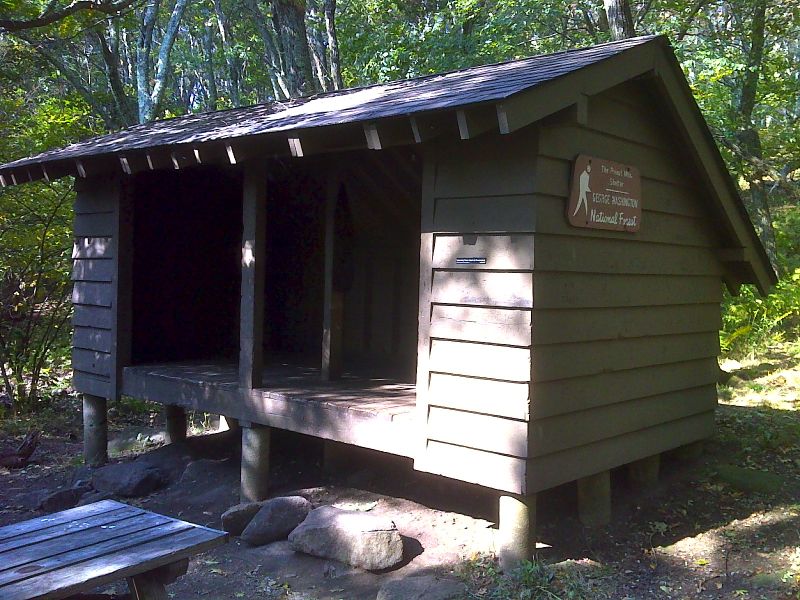
mm 4.8 The Priest Shelter GPS N37.8178 W79.0703
Submitted by pjwetzel @ gmail.com
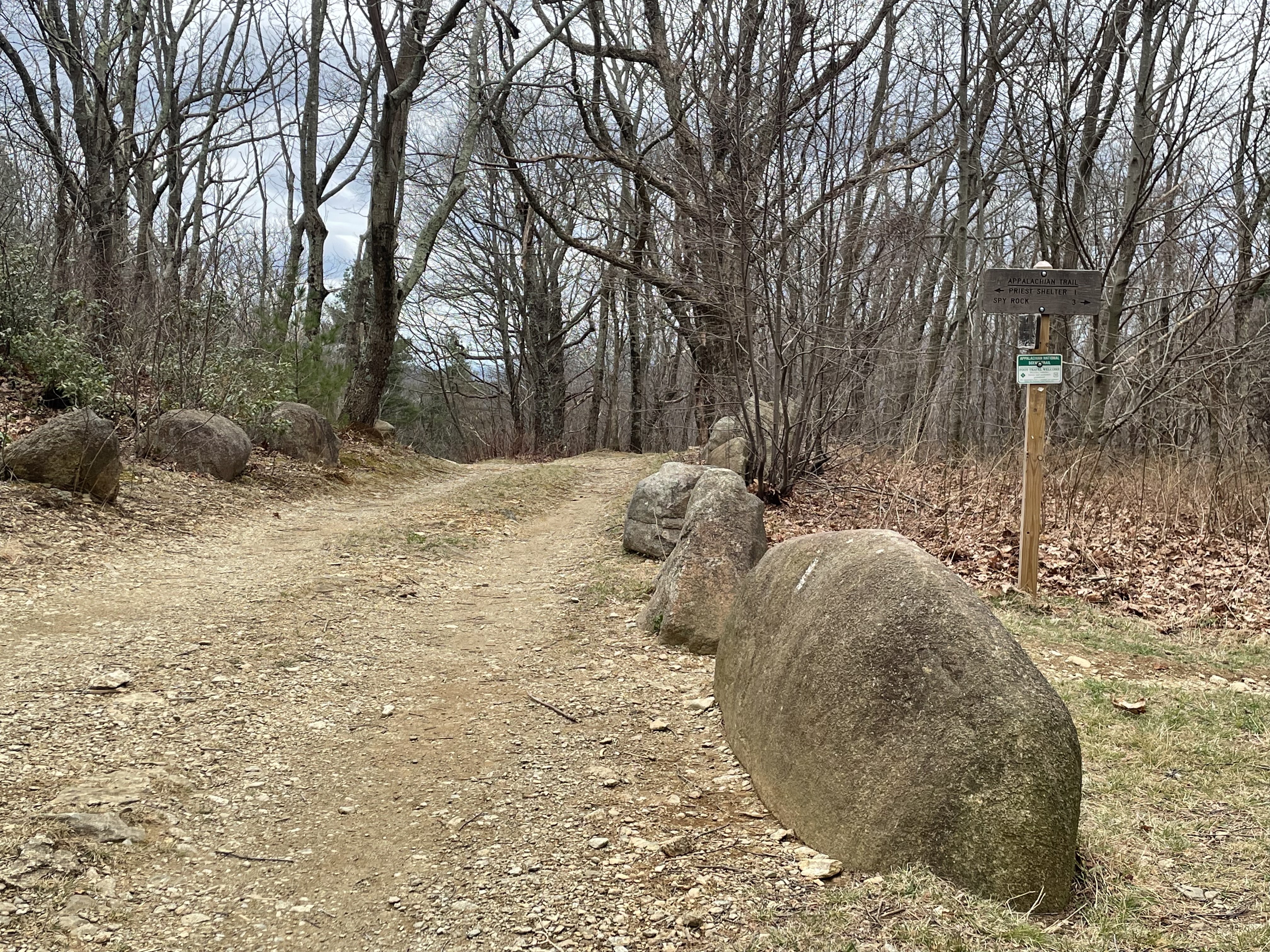
mm 5.7 Signage at AT crossing SR 826 / Meadows Lane April 2024
Submitted by ateditors@rohland.org
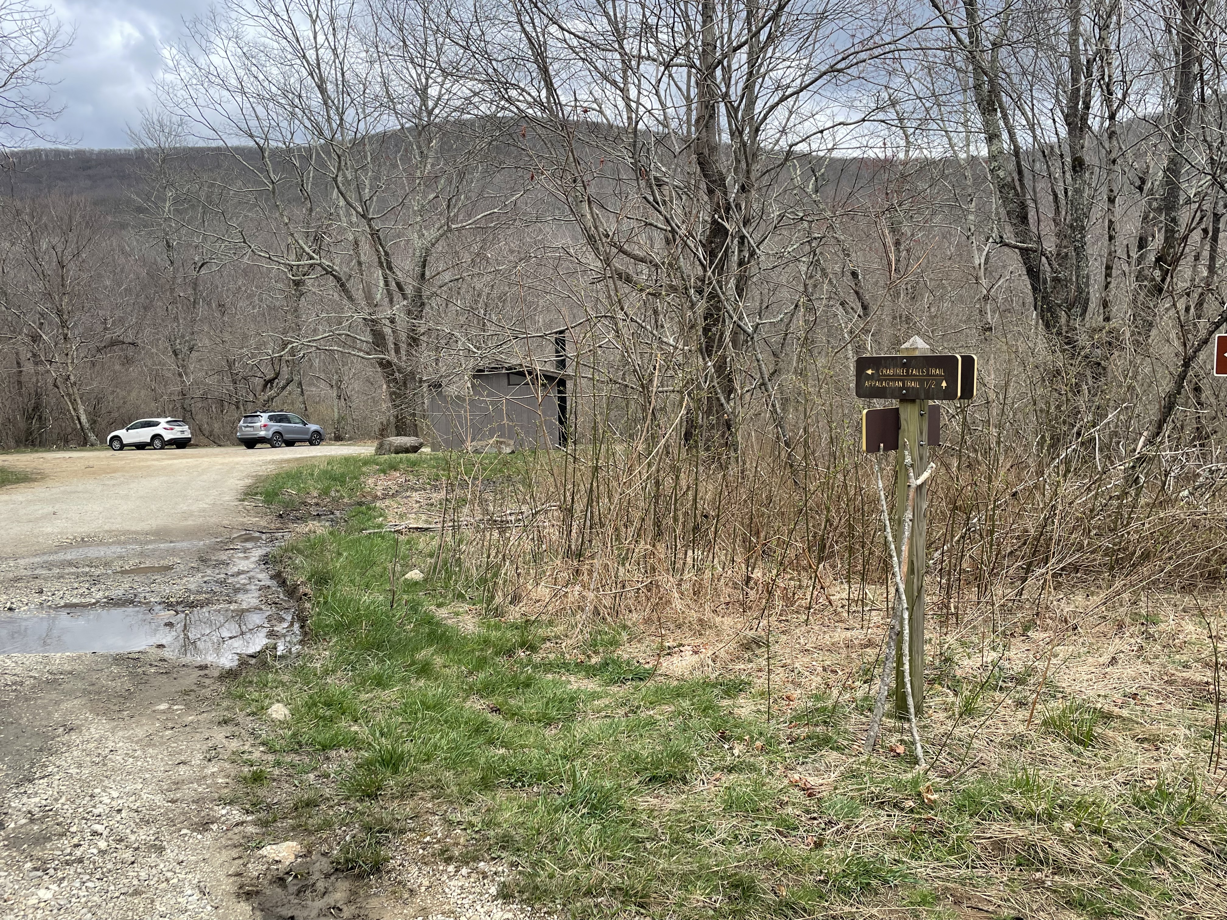
mm 5.7 Meadows Lane/Upper Crabtree Falls Parking area 1/2 mile from AT
Submitted by ateditors@rohland.org
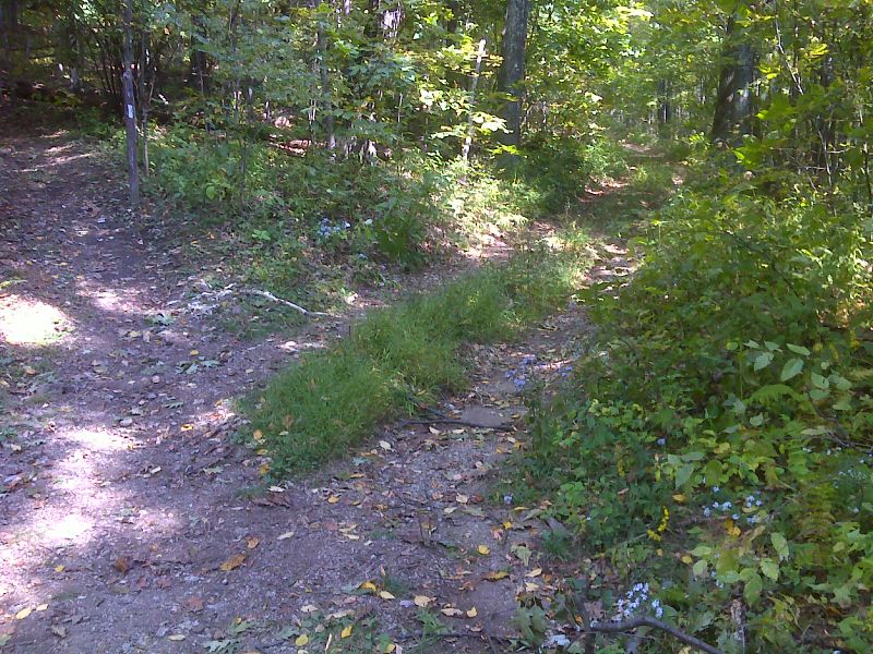
mm 6.5 Crossing of Cash Hollow Road. GPS N37.8248 W79.0935
Submitted by pjwetzel @ gmail.com
View from Cash Hollow Rock at Mile 7.8
Submitted by ideanna656 @ aol.com