VA Section 17 Pictures - Milemarker 7.8 - 8.9
Cash Hollow Rock - Spy Rock Trail
Move your mouse across the pictures for more information.

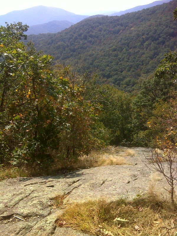
mm 7.8 View from Cash Hollow Rock. GPS N37.8306 W79.1099
Submitted by pjwetzel @ gmail.com

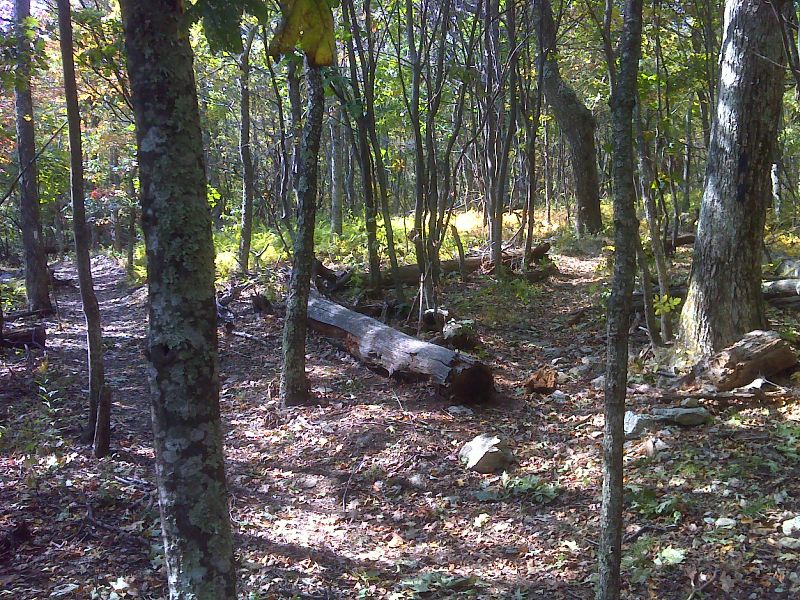
North junction with the blue-blazed side trail to the summit of Main Top Mt. Until recently this was the route of the AT but now the white-blazed trail bypasses the summit. GPS N37.8308 W79.1179
Submitted by pjwetzel @ gmail.com

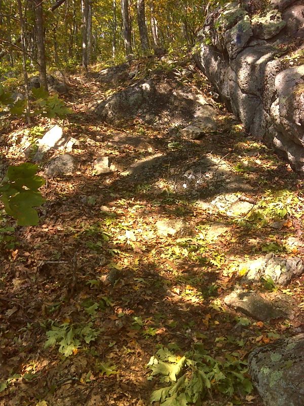
mm 8.9 South junction with the blue-blazed side trail to the summit of Main Top Mt. Until recently this was the route of the AT but now the white-blazed trail bypasses the summit. This southern junction is near the trail to Spy Rock. GPS N37.8289 W79.1220
Submitted by pjwetzel @ gmail.com

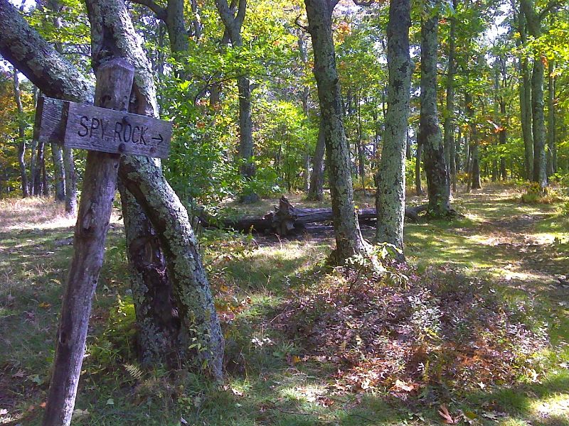
mm 8.9 Junction with the trail to Spy Rock. There are some excellent campsites here. No water. GPS N37.8279 W79.1215
Submitted by pjwetzel @ gmail.com