VA Section 18 Pictures - Milemarker 0.0 - 6.6
Spy Rock Road - USFS 246
Move your mouse across the pictures for more information.
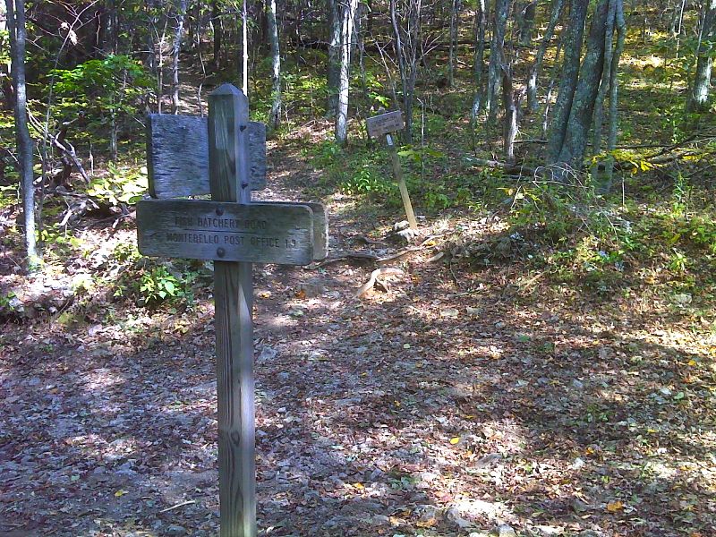
mm 0.0 Junction with Spy Rock Road (better known as Fish Hatchery Road). This is road is gated. There is a parking area just outside the gate near the Fish Hatchery. It is a fairly steep 1 mile ascent to the trail crossing. GPS N37.8292 W 79.1826
Submitted by pjwetzel @ gmail.com
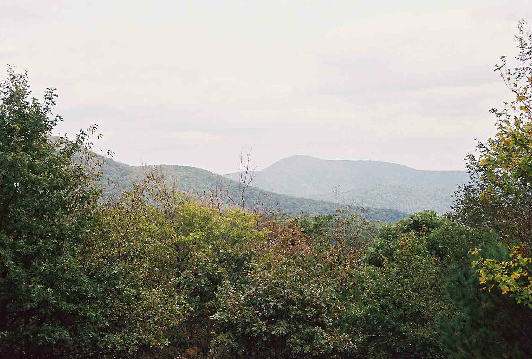
The Priest as seen from the southwest. Taken at approx. MM 0.8
Submitted by dlcul @ conncoll.edu
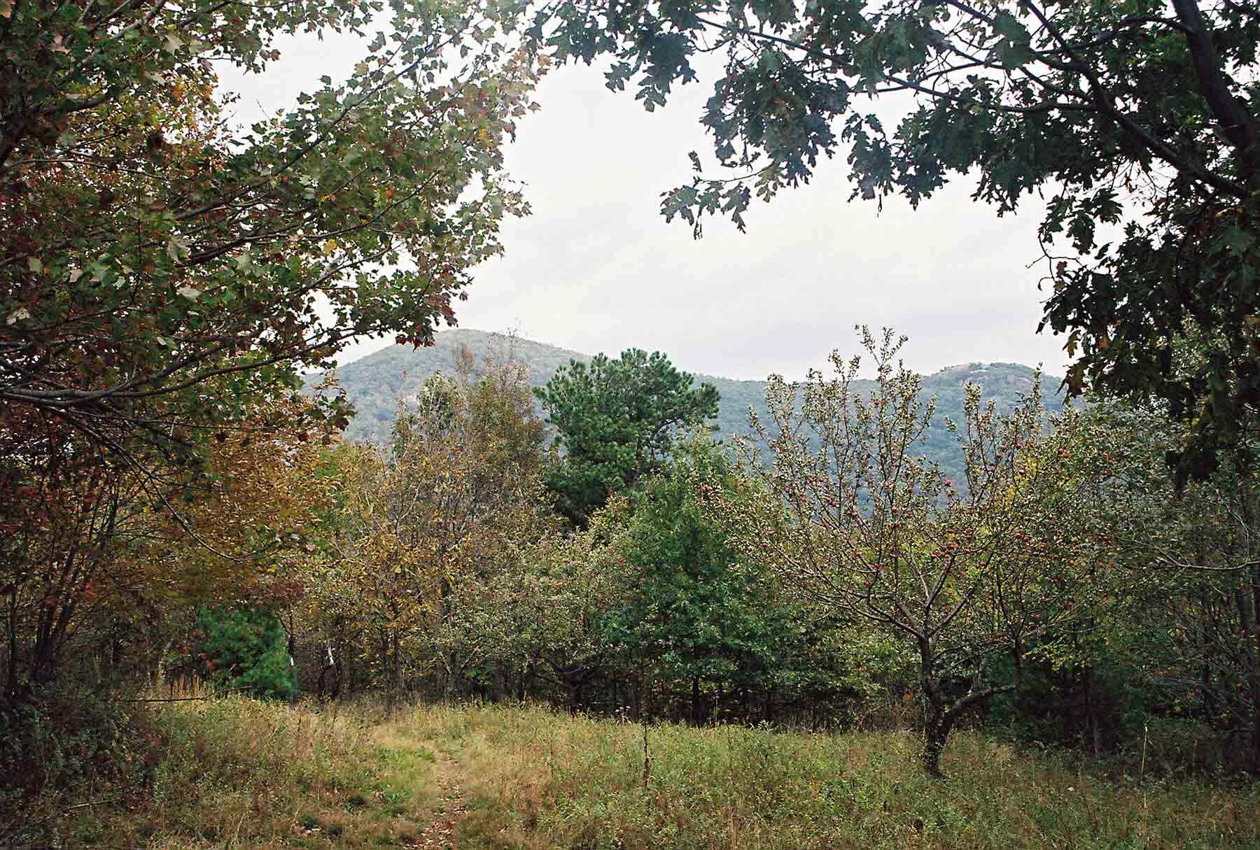
mm 0.8 - Maintop (on left) and Spy Rock as seen from old apple orchard on Porter Ridge trail south of Fish Hatchery Road (AKA Spy Rock Road).
Submitted by dlcul @ conncoll.edu
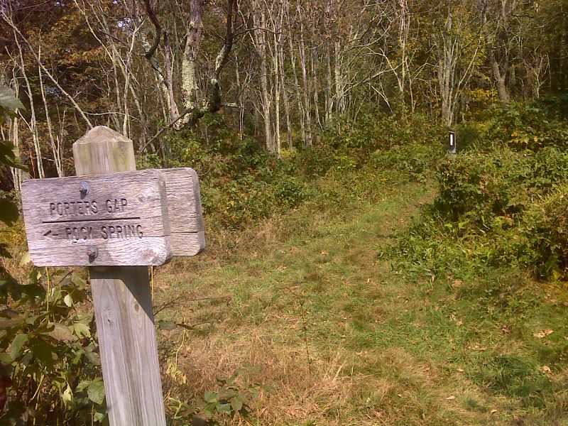
mm 1.2 Porters Field. GPS N37.8251 W 79.1427
Submitted by pjwetzel @ gmail.com
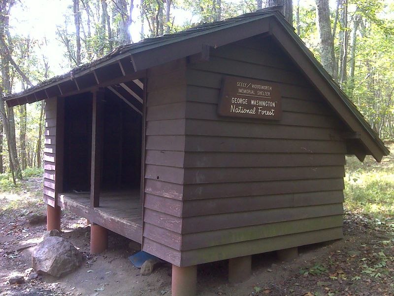
mm 2.3 Seely-Woodworth Shelter. GPS N37.8191 W 79.1550
Submitted by pjwetzel @ gmail.com
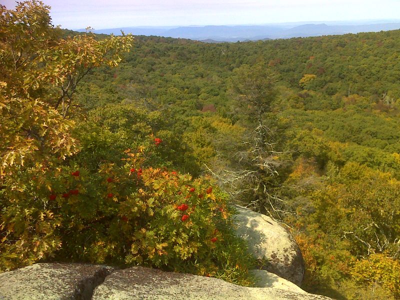
mm 5.1 Wolf Rocks viewpoint. GPS N37.8019 W 79.1637
Submitted by pjwetzel @ gmail.com
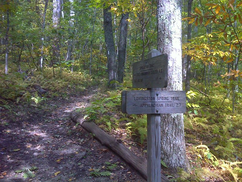
mm 6.1 South Junction with the Lovingston Springs Trail. This rejoins the AT near Seely-Woodworth Shelter. . GPS N37.7932 W 79.1764
Submitted by pjwetzel @ gmail.com
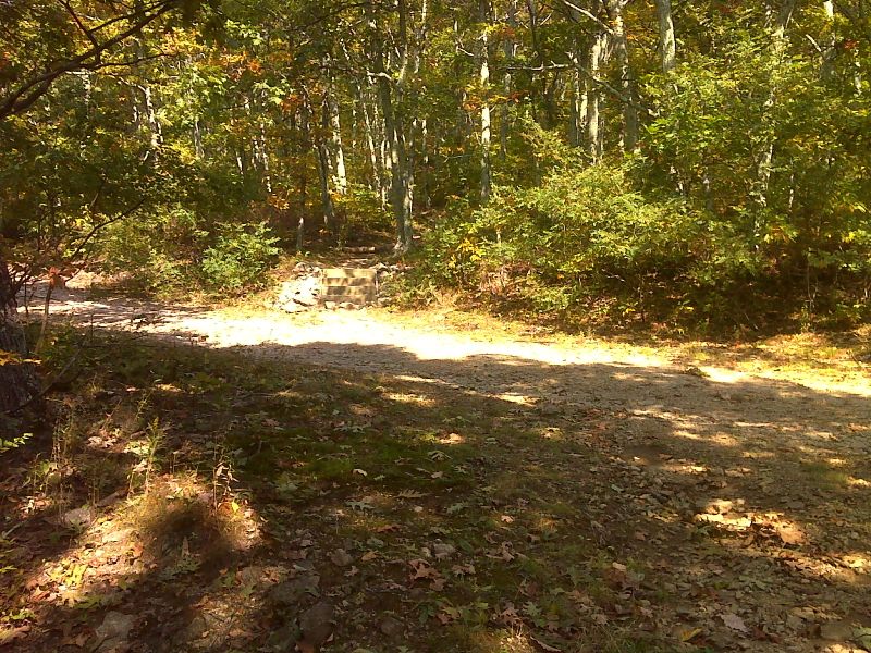
mm 6.6 Crossing of USFS 246. GPS N37.7885 W 79.1719
Submitted by pjwetzel @ gmail.com