VA Section 19 Pictures - Milemarker 2.2 - 3.5
Hog Camp Gap - Cold Mt.
Move your mouse across the pictures for more information.
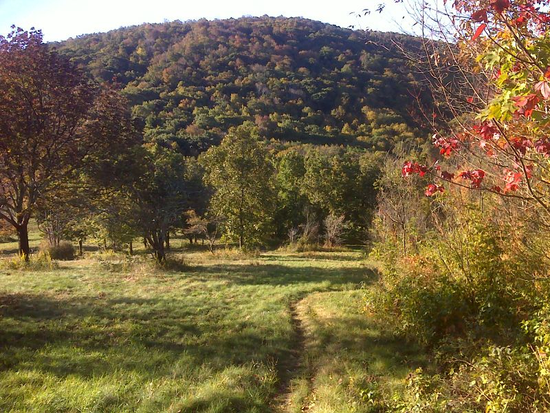
mm 2.2 Meadows of Hog Camp Gap in the fall (October 2012). GPS N37.7615 W79.1959
Submitted by pjwetzel @ gmail.com
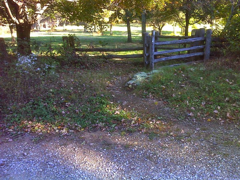
mm 2.2 Crossing of USFS 48 in Hog Camp Gap. GPS N37.7596 W79.1954
Submitted by pjwetzel @ gmail.com
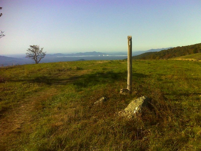
mm 3.1 Morning view north from meadows north of Cold Mt. summit. GPS N37.7596 W79.1954
Submitted by pjwetzel @ gmail.com
Looking south along broad high meadows of Cold Mountain. GPS N37.7529 W79.1996
Submitted by pjwetzel @ gmail.com
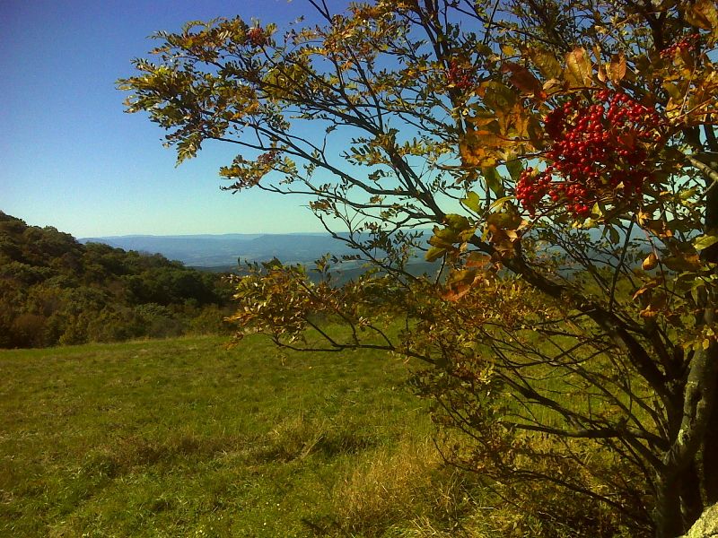
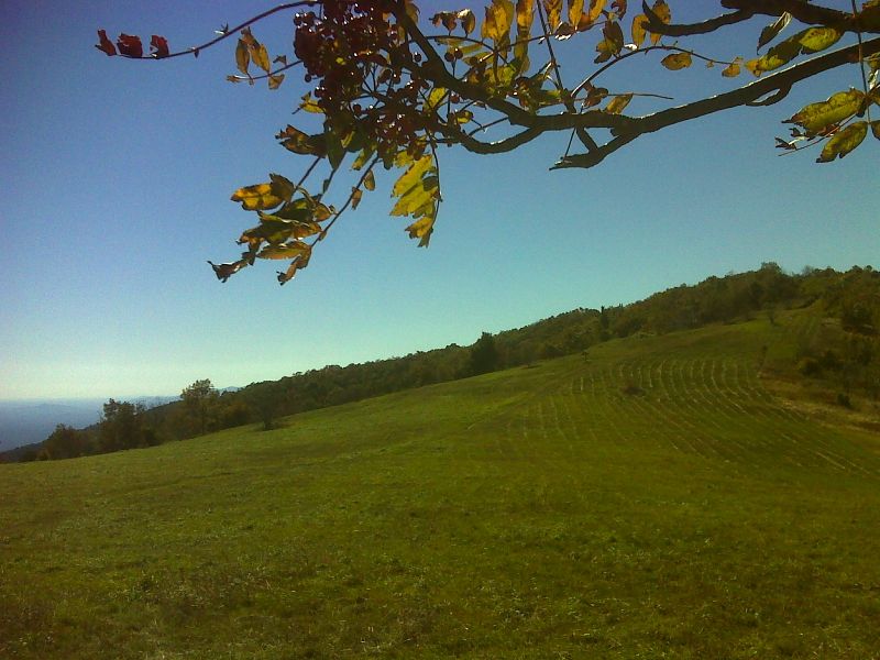
Sumac berries and a view to the west on Cold Mountain. GPS N37.7529 W79.1996
Submitted by pjwetzel @ gmail.com
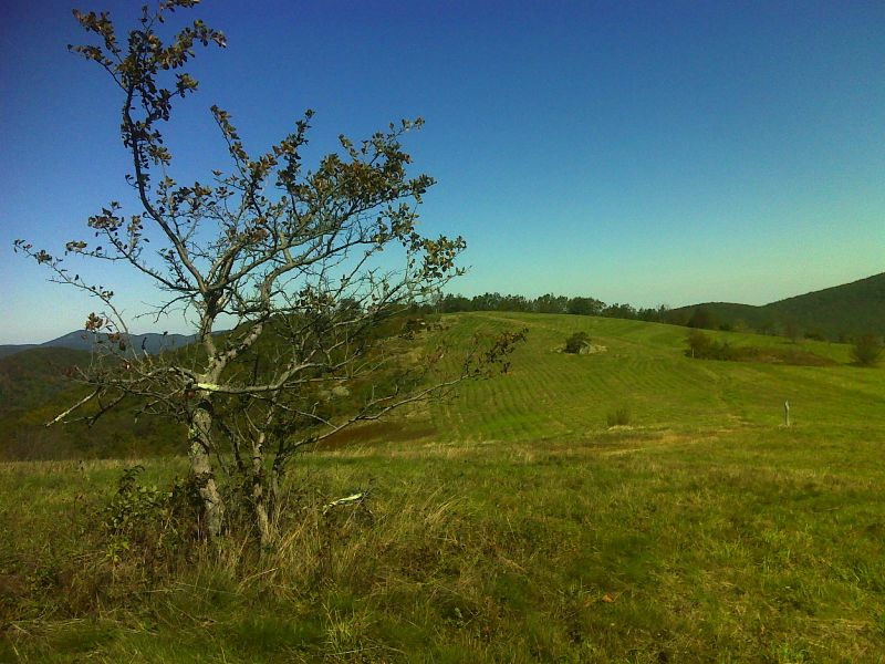
Broad high meadows on north side of Cold Mountain GPS N37.7523 W79.2017
Submitted by pjwetzel @ gmail.com
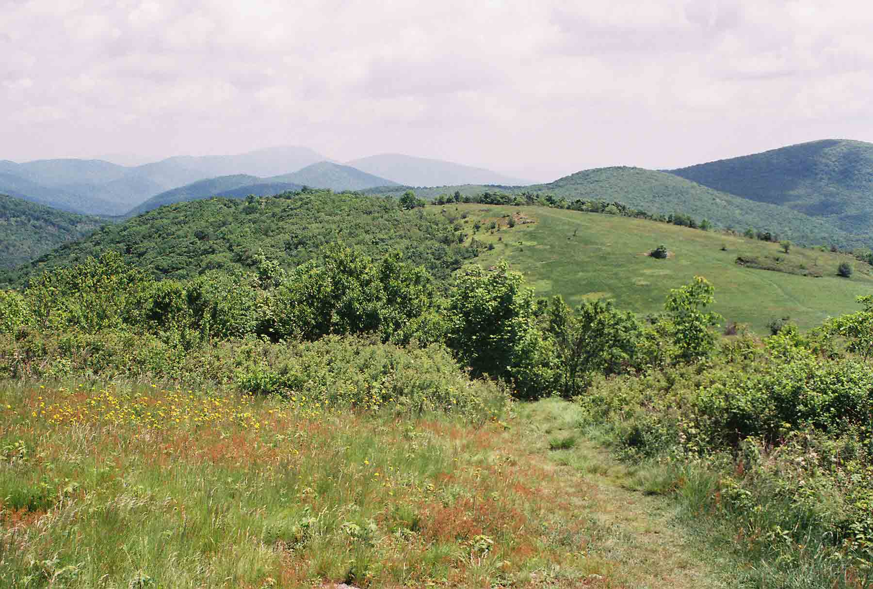
mm 3.5 - View north along crest of Cold Mt. (May 2004)
Submitted by dlcul @ conncoll.edu
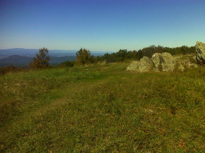
mm 3.5 Summit of Cold Mountain GPS N37.7509 W79.2051
Submitted by pjwetzel @ gmail.com