VA Section 2 Pictures - Milemarker 6.4 - 10.3
South Trail to Blackburn Trail Center - Devils Racecourse
Move your mouse across the pictures for more information.
Some of the log "benches" installed by the PATC at the junction of the AT and the more southern access trail to the Blackburn Trail Center (Mile 6.4).
Submitted by dlcul @ conncoll.edu
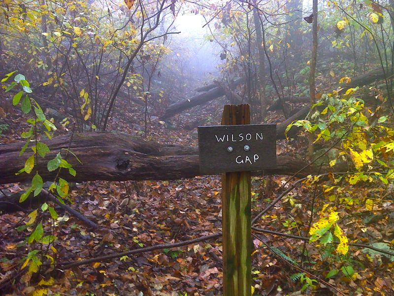
mm 7.4 Small gully, possibly an overgrown old road, in Wilson Gap. GPS N39.1724 W77.8078
Submitted by pjwetzel @ gmail.com
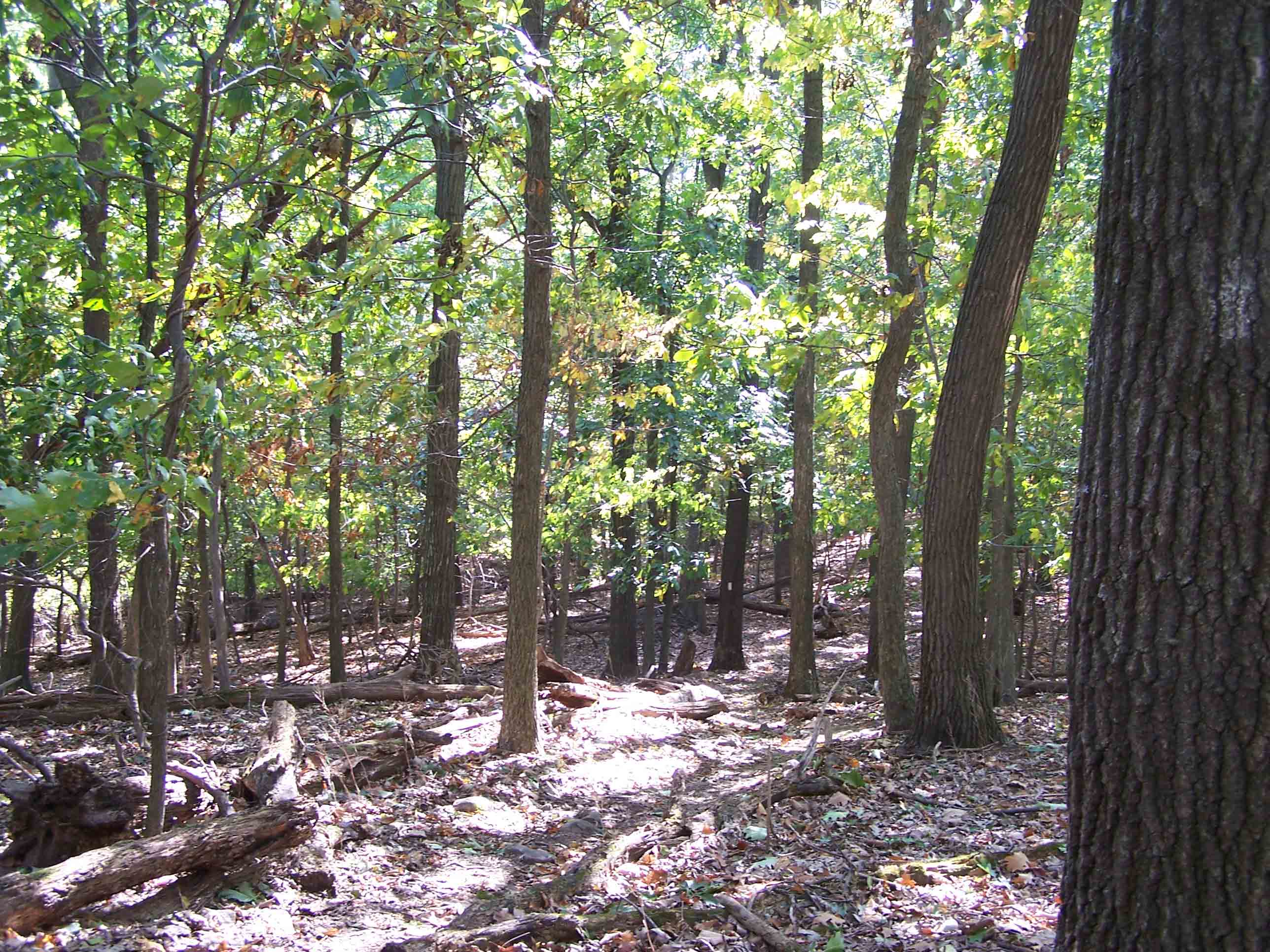
Level area
Submitted by at @ rohland.org
The AT follows an old road along the edge of the boulder field known as Devils Racecourse.
Submitted by dlcul @ conncoll.edu
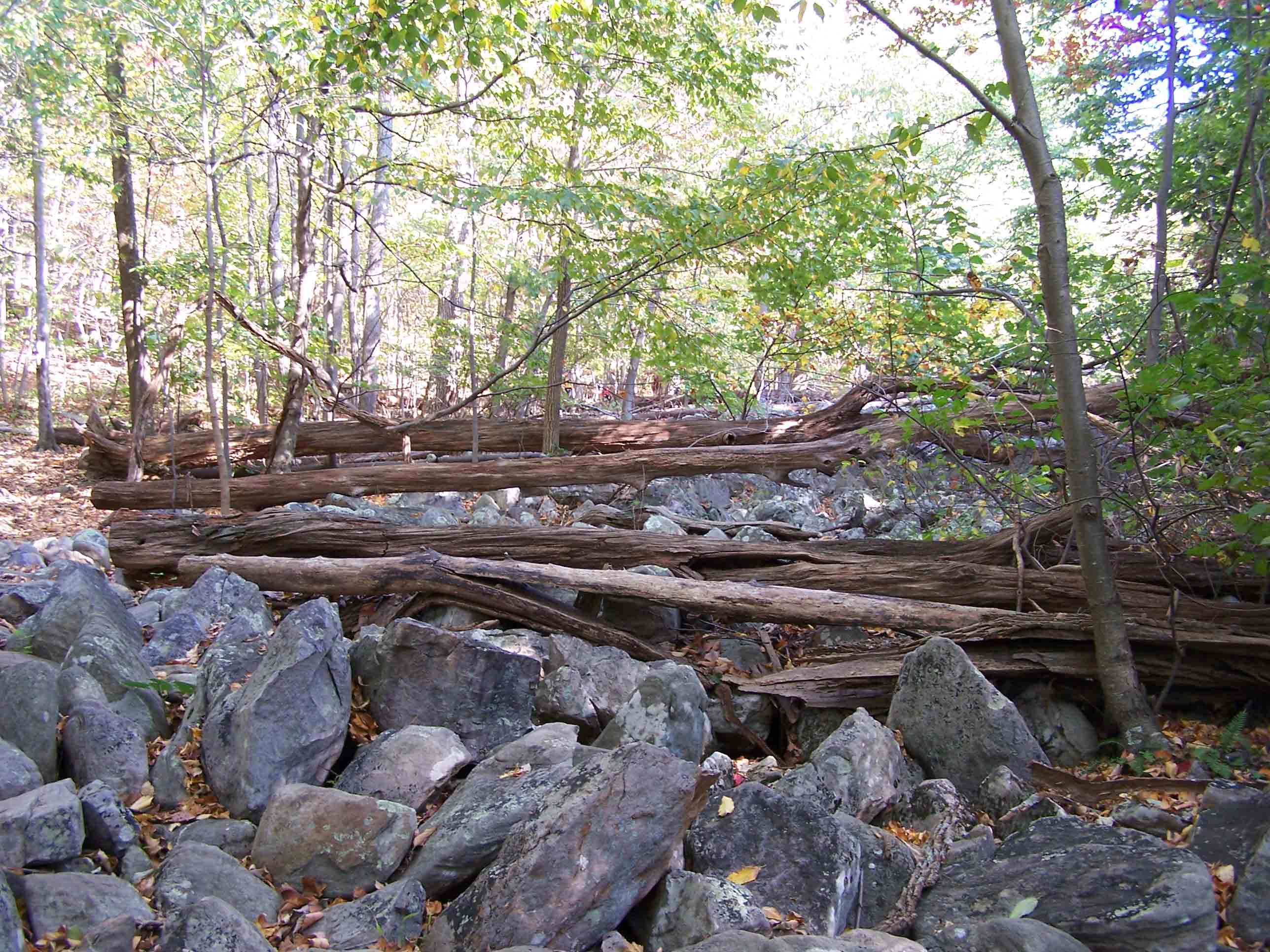
mm 10.2 - Paralleling the AT is a boulder field known as Devils Racecourse.
Submitted by at @ rohland.org
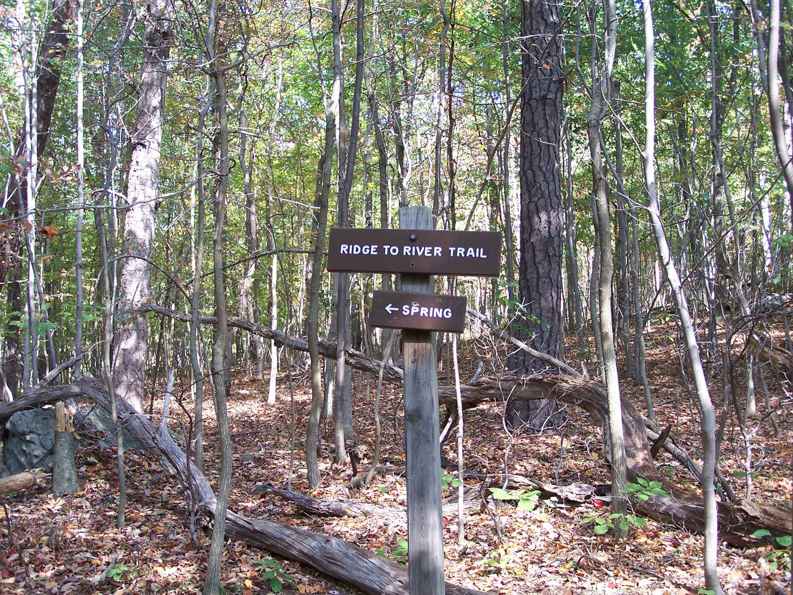
mm 10.3 - Ridge to River Trail and spring
Submitted by at @ rohland.org
The Virginia version of the Devils Racecourse. There is a similar area with the same name in Maryland.
Submitted by dlcul @ conncoll.edu
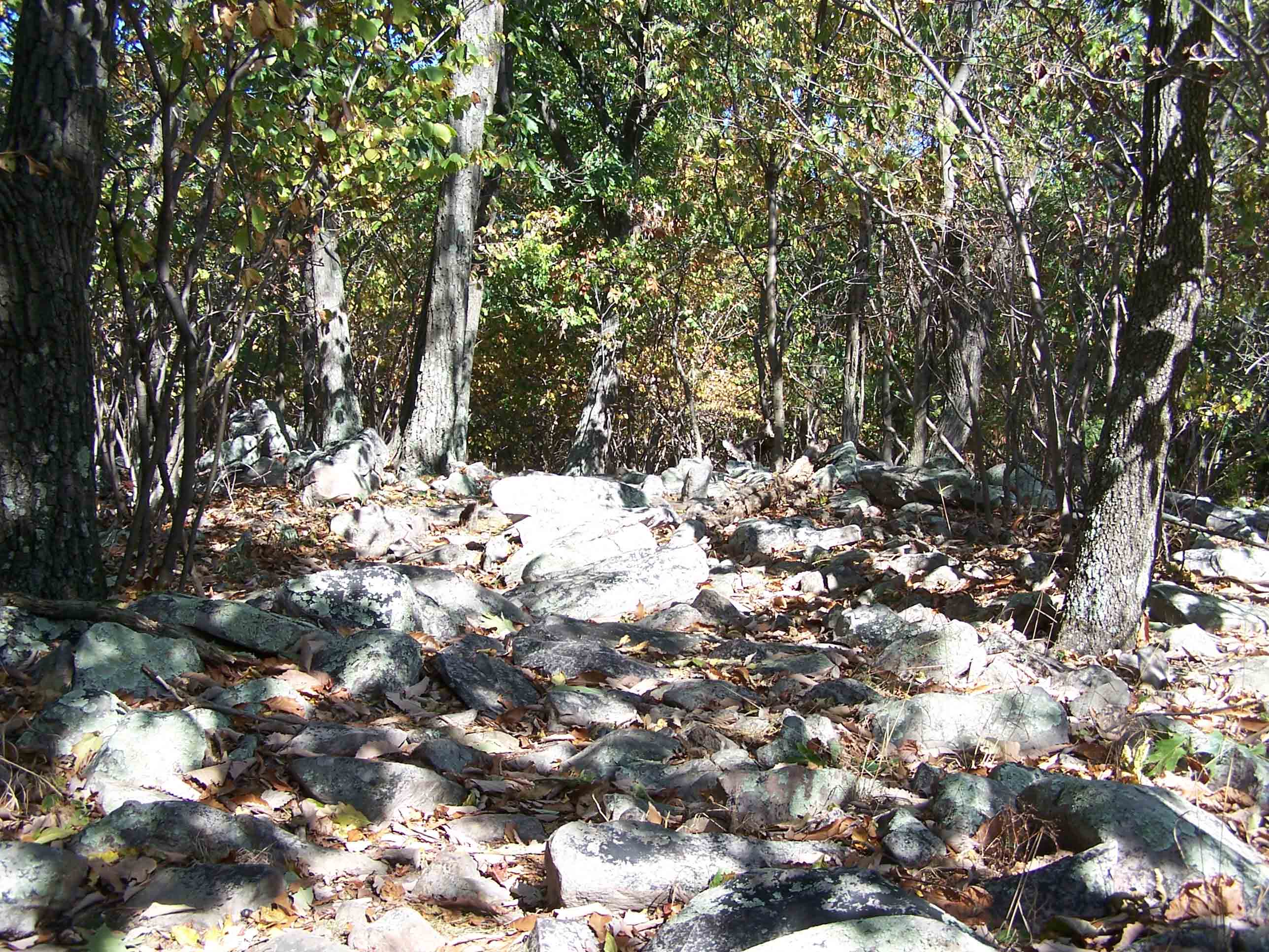
mm 10.3 - Cross Devil's Racecourse
Submitted by at @ rohland.org