VA Section 20 Pictures - Milemarker 1.8 - 5.5
Brown Mountain Creek Shelter - Pedlar Lake Viewpoint
Move your mouse across the pictures for more information.
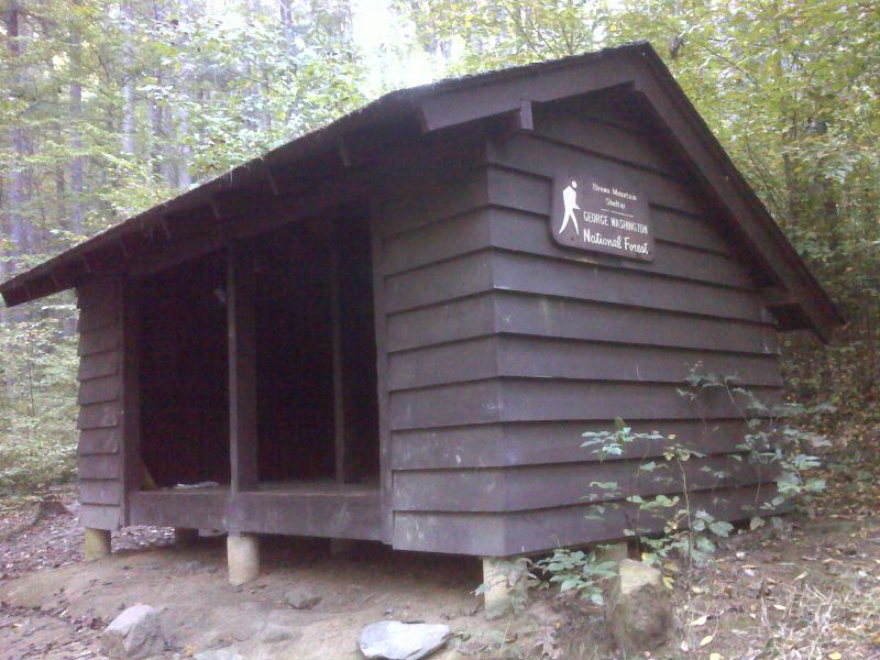
mm 1.8 Brown Mountain Creek Shelter. GPS 37.7094 W79.2683
Submitted by pjwetzel @ gmail.com
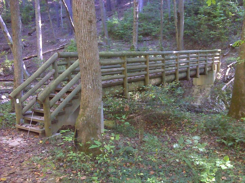
mm 1.8 Upper footbridge across Brown Mountain Creek. GPS 37.7085 W79.2687
Submitted by pjwetzel @ gmail.com
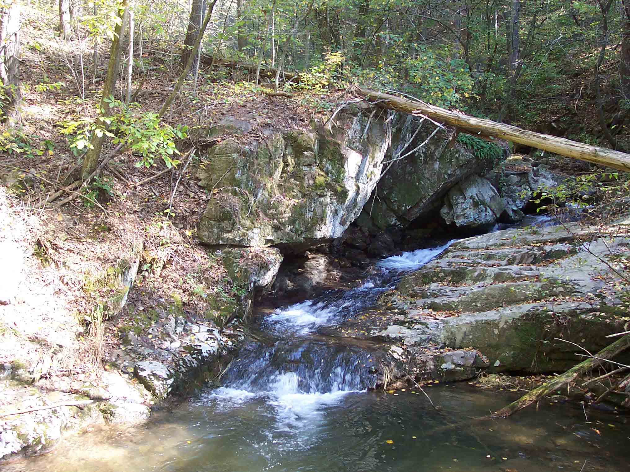
mm 2.8 - Brown Mountain Creek.This is near the lower (southern) footbridge across the creek.
Submitted by dlcul @ conncoll.edu
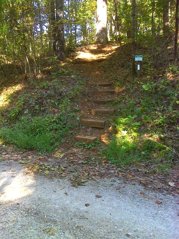
mm 3.8 The northbound trail as it leaves USFS 38 (Pedlar Lake Road). GPS 37.6856 W79.2714
Submitted by pjwetzel @ gmail.com
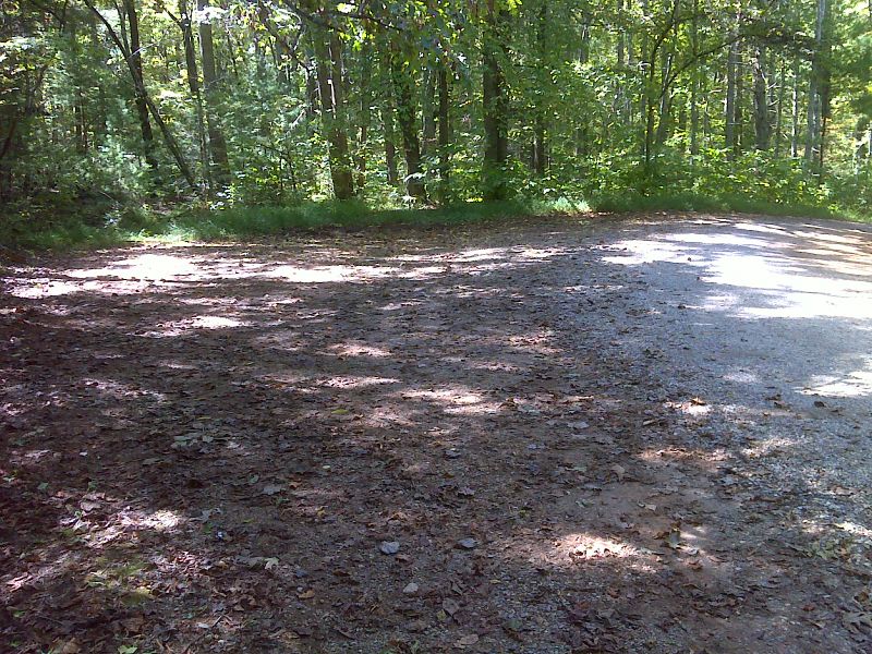
mm 3.8 Parking area near trail crossing of USFS 38. GPS 37.6853 W79.2713
Submitted by pjwetzel @ gmail.com
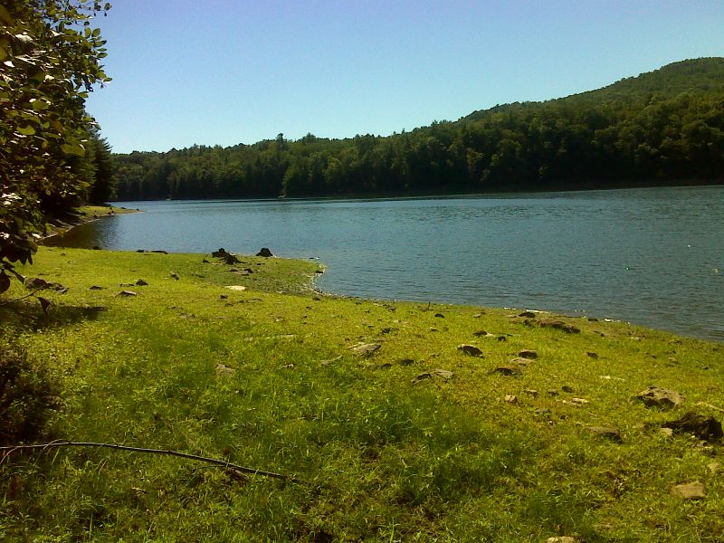
Upper end of Lynchburg Reservoir (Pedlar Lake). Taken at approx. mm 4.3. GPS 37.6794 W79.2755
Submitted by pjwetzel @ gmail.com
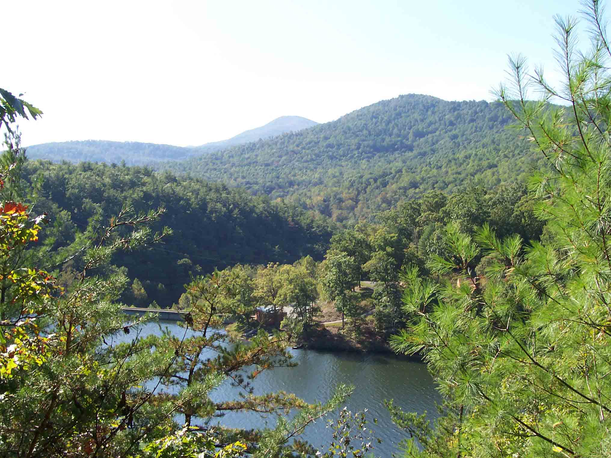
mm 5.5 - Looking southwest over Pedlar Dam and Reservoir. The closer mountain is Rice Mt, while the larger one in distance is Bluff Mt. From here the southbound AT goes over both of them.
Submitted by dlcul @ conncoll.edu
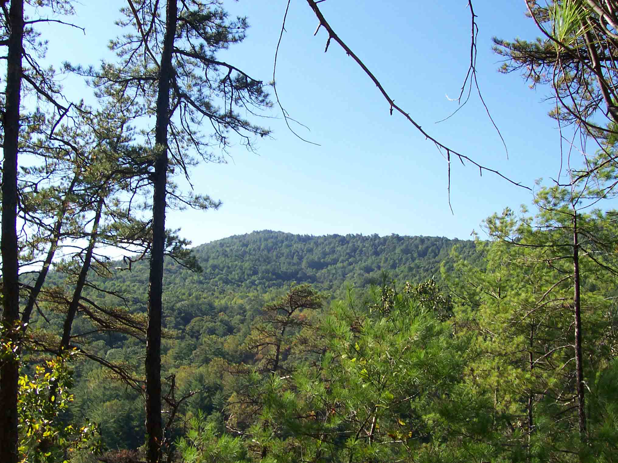
mm 5.5 - Rice Mt. from near Pedlar Dam
Submitted by dlcul @ conncoll.edu