VA Section 20 Pictures - Milemarker 6.8 - 10.6
Bridge over Pedlar River - VA 607/ USFS 311
Move your mouse across the pictures for more information.
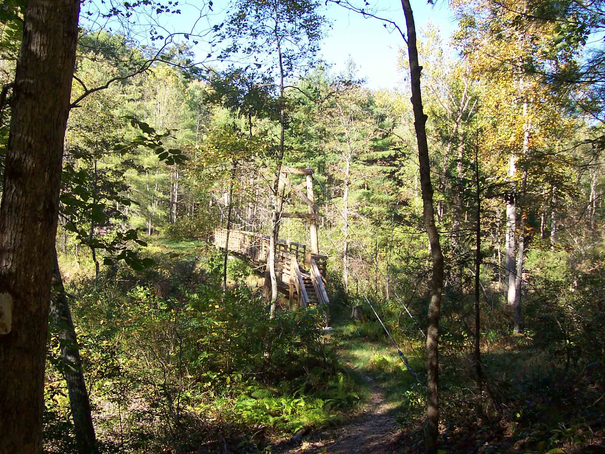
mm 6.7 - New Suspension Footbridge over Pedlar River
Submitted by dlcul @ conncoll.edu
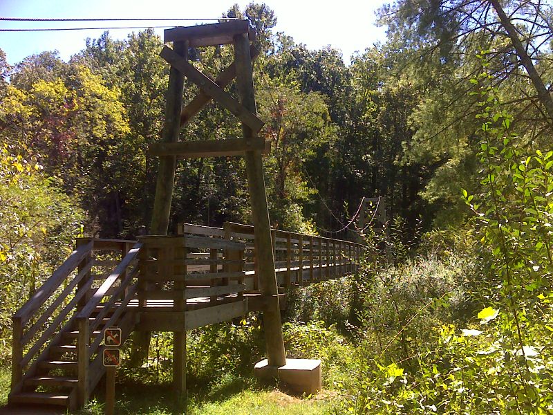
mm 6.7 Suspension bridge across Pedlar River near USFS 39. GPS 37.6707 W79.2835
Submitted by pjwetzel @ gmail.com
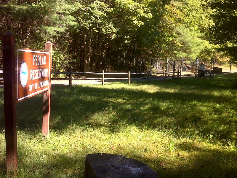
Gated Access Road to Pedlar Dam. GPS 37.6729 W79.2825
Submitted by pjwetzel @ gmail.com
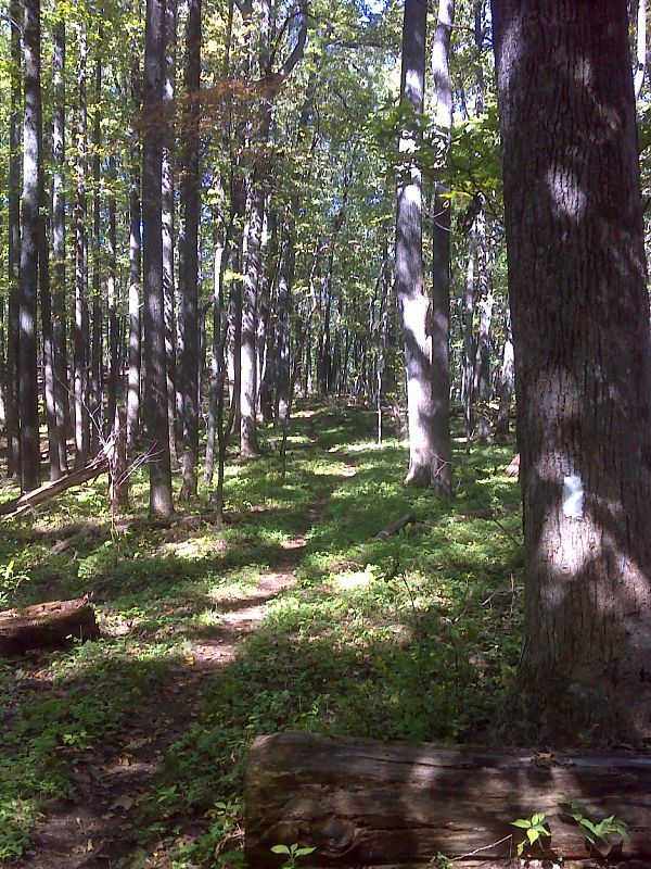
Pretty section of trail with cathedral-like setting near summit of Rice Mountain. GPS 37.6703 W79.3062
Submitted by pjwetzel @ gmail.com
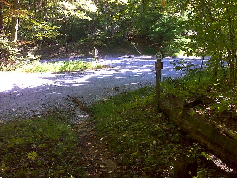
mm 10.6 AT Crossing at intersection of VA 607 (Robinson Gap Road) and USFS 311. GPS 37.6703 W79.3062
Submitted by pjwetzel @ gmail.com