VA Section 21 Pictures - Milemarker 0.0 - 2.0
Punchbowl Overlook (Blue Ridge Parkway) - Bluff Mt.
Move your mouse across the pictures for more information.
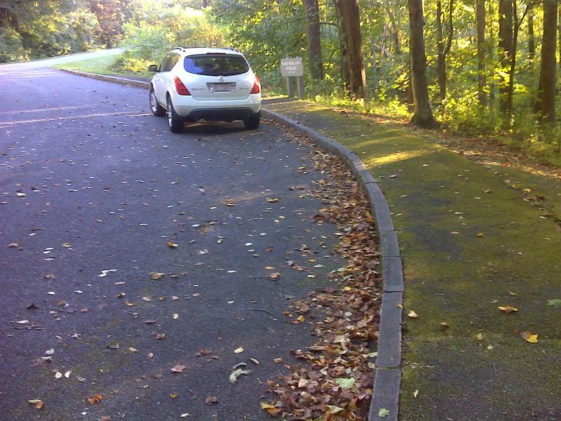
mmm 0.0 Parking at Punchbowl Overlook on Blue Ridge Parkway (Mile 51.5). The AT crosses the Parkway here. GPS N37.6735 W79.3346
Submitted by pjwetzel @ gmail.com
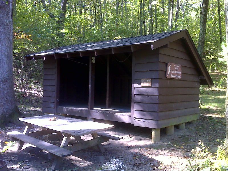
mm 0.4 Punchbowl Shelter. GPS 37.6778 W 79.3384
Submitted by pjwetzel @ gmail.com
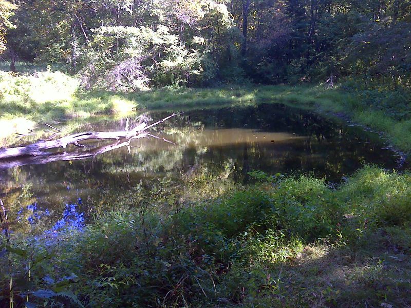
mm 0.4 Pond at Punchbowl Shelter. GPS 37.6760 W 79.3386
Submitted by pjwetzel @ gmail.com
mm 2.0 - View west from summit of Bluff Mt.
Submitted by dlcul @ conncoll.edu
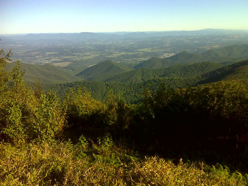
mm 2.0 View west from Bluff Mt. on another fall day with much less haze than in the previous picture. GPS 37.6602 W 79.3464
Submitted by pjwetzel @ gmail.com
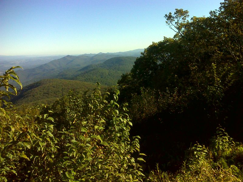
mm 2.0 View north along the Blue Ridge from Bluff Mountain. GPS 37.6602 W 79.3464
Submitted by pjwetzel @ gmail.com
mm 2.0 - Monument of Ottie Cline Powell. The plaque tells most of his story. Hikers have left little gifts for him. His spirit is rumored to haunt Punchbowl Shelter which is located about two miles north on the AT.
Submitted by dlcul @ conncoll.edu
mm 2.0 - View to southeast from summit of Bluff Mt.
Submitted by dlcul @ conncoll.edu