VA Section 21 Pictures - Milemarker 7.1 - 10.9
Fullers Rocks - US 501
Move your mouse across the pictures for more information.
mm 7.1 - View to the northeast from Fullers Rocks. Note the slate quarry in the middle of the picture.
Submitted by dlcul @ conncoll.edu
mm 7.2 - View to the east from near the junction with the Rocky Row Trail. From here it is a 1600 foot descent on the AT to the James River.
Submitted by dlcul @ conncoll.edu
Some fall color on the descent (going south) to the James River.
Submitted by dlcul @ conncoll.edu

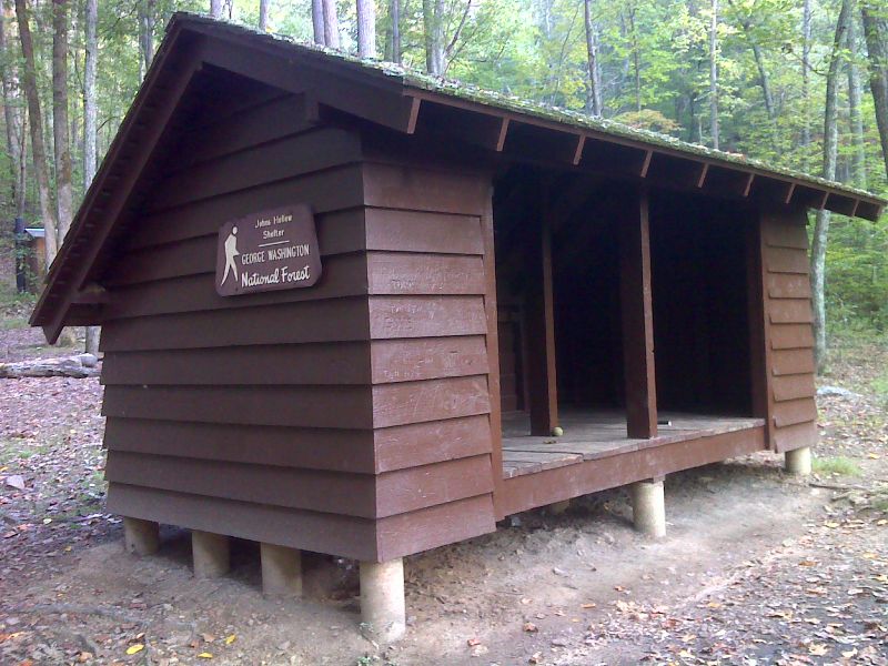
mm 9.2 Johns Hollow Shelter. GPS N37.6130 W79.3918
Submitted by pjwetzel @ gmail.com

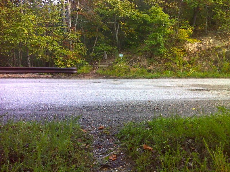
mm 9.8 Crossing of Hercules Road (VA 812). GPS N37.6049 W 3881
Submitted by pjwetzel @ gmail.com
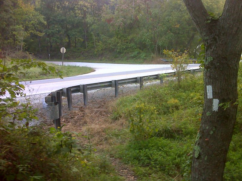
mm 9.8 Hercules Road (VA 812) near the trail crossing. In this view the southbound trail goes right, the northbound goes left. Note the parking pull-off on the left side of the road.
Submitted by dlcul @ conncoll.edu

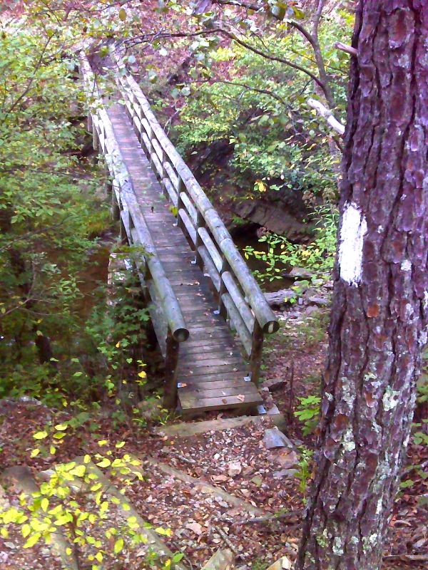
mm 10.8 Lower Rocky Row Run bridge. GPS N37.5975 W 79.3899
Submitted by pjwetzel @ gmail.com

mm 10.9 Crossing of US 501 near the James River. The northbound trail goes up Hercules Road (VA 812) on the opposite side, then goes right into the woods. GPS N37.5967 W 79.3902
Submitted by pjwetzel @ gmail.com