VA Section 22 Pictures - Milemarker 2.2 - 4.9
Matts Creek Shelter - North Junction Sulphur Spring Trail
Move your mouse across the pictures for more information.
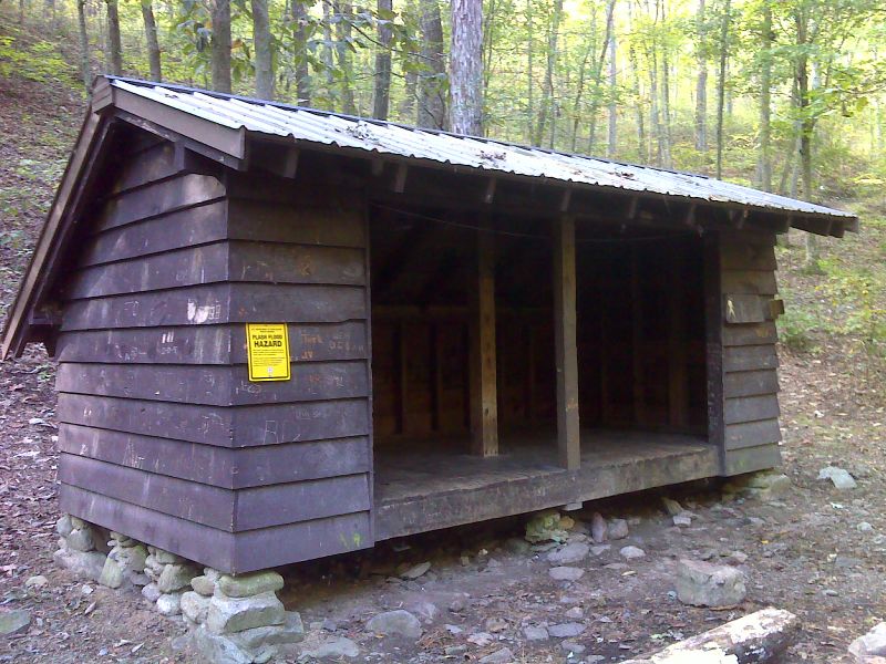
mm 2.2 Matts Creek Shelter. GPS N37.5996 W79.4132
Submitted by pjwetzel @ gmail.com
Matts Creek and Matts Creek Shelter (mile 2.2)
Submitted by dlcul @ conncoll.edu
View of James River Gorge
Submitted by dlcul @ conncoll.edu
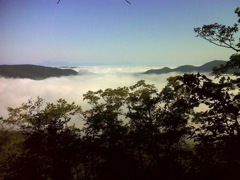
Fog to west of ridge. GPS N37.5925 W79.4348
Submitted by pjwetzel @ gmail.com
View along the trail in late May. Taken at approx. MM 4.5
Submitted by dlcul @ conncoll.edu
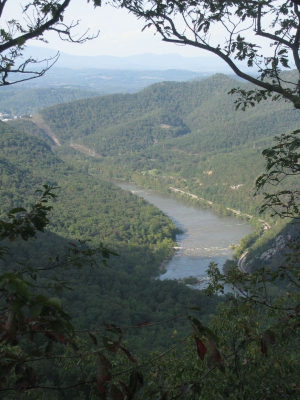
View of James River Gorge. GPS N37.5911 W79.4505
Submitted by pjwetzel @ gmail.com
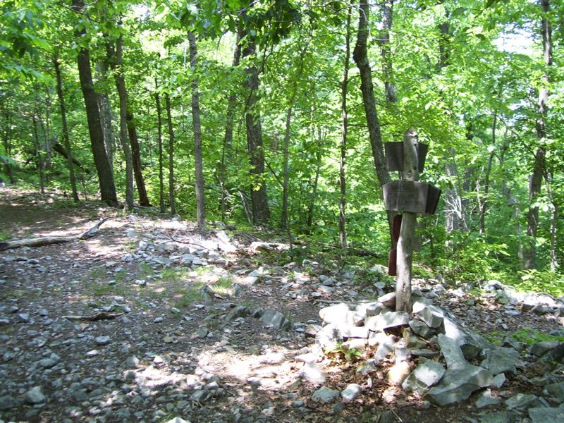
mm 4.9 North junction with the Sulfur Springs Trail.
Submitted by dlcul @ conncoll.edu
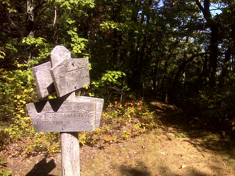
mm 4.9 Trail sign at north junction with the Sulphur Spring Trail. GPS N37.5912 W79.4511
Submitted by pjwetzel @ gmail.com