VA Section 22 Pictures - Milemarker 5.4 - 7.5
Gunter Ridge Trail - Trail North of Marble Springs Campsite
Move your mouse across the pictures for more information.
Junction with the Gunter Trail on the wester spur of HIckory Stand (Mile 5.4). This leads in 0.4 miles to the Belfast Trail which provides access to the Devils Marbleyard.
Submitted by dlcul @ conncoll.edu
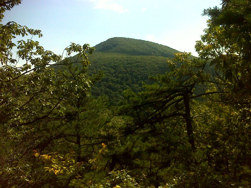
View of Highcock Knob from approx. Mile 6.5. The southbound trail goes over this and descends to Petites Gap.
Submitted by dlcul @ conncoll.edu
View along trail north of Marble Springs
Submitted by dlcul @ conncoll.edu

View of Highcock Knob. GPS 37.5761 W79.4396
Submitted by pjwetzel @ gmail.com

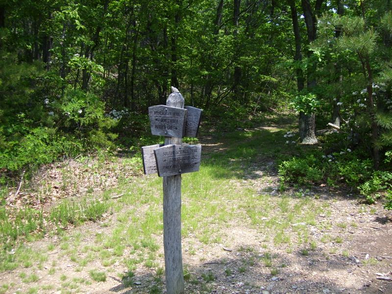
mm 7.2 South junction with the Sulfur Springs Trail.
Submitted by dlcul @ conncoll.edu

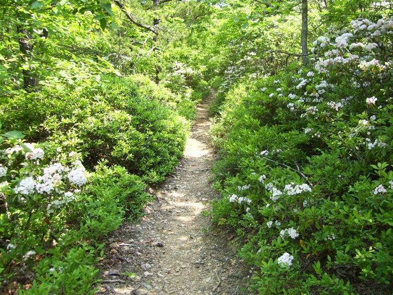
Laurel along the trail just trail south of the south junction with the Sulfur Springs Trail.
Submitted by dlcul @ conncoll.edu

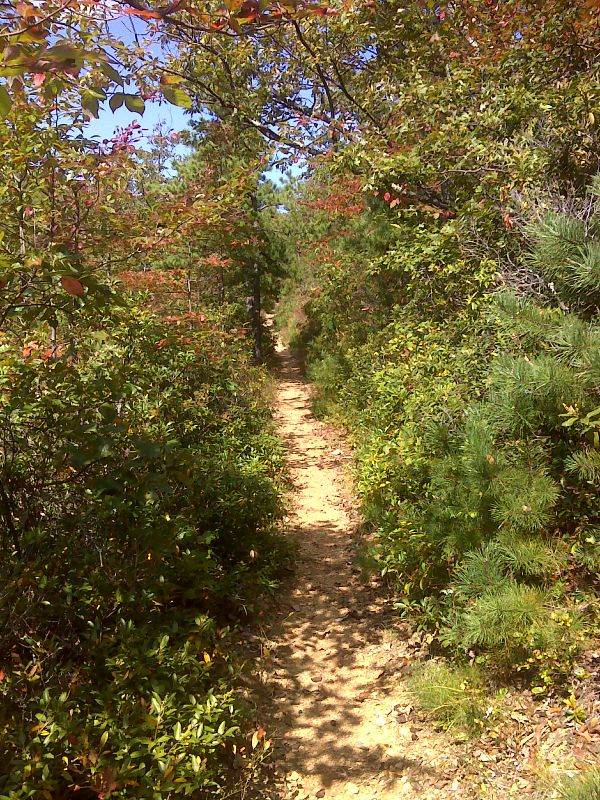
Fall Color along the trail. GPS N37.5743 W79.4382
Submitted by pjwetzel @ gmail.com
View down valley from trail north of Marble Springs on what was unfortunately a very hazy day.
Submitted by dlcul @ conncoll.edu