VA Section 22 Pictures - Milemarker 7.7 - 9.9
Marble Springs Campsite - Petites Gap (USFS 35)
Move your mouse across the pictures for more information.
mm 7.7 - Marble Springs Campsite
Submitted by dlcul @ conncoll.edu
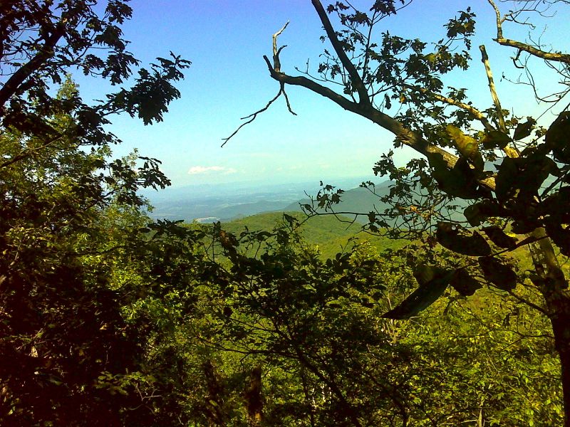
Limited view to the north from Highcock Knob. GPS N37.5652 W79.4399
Submitted by pjwetzel @ gmail.com
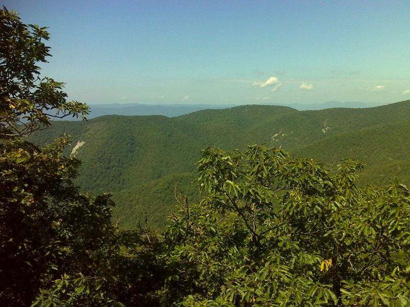
Limited view to the west from Highcock Knob. GPS N37.5615 W79.4471
Submitted by pjwetzel @ gmail.com
mm 8.7 - Summit of Highcock Knob
Submitted by dlcul @ conncoll.edu
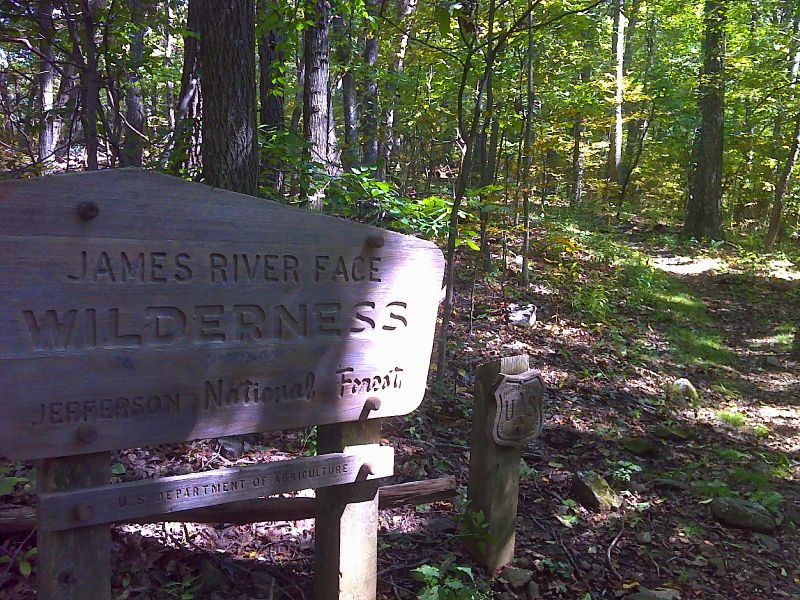
South boundary of the James Face Wilderness area near Petites Gap. GPS N37.5606 W79.4561
Submitted by pjwetzel @ gmail.com
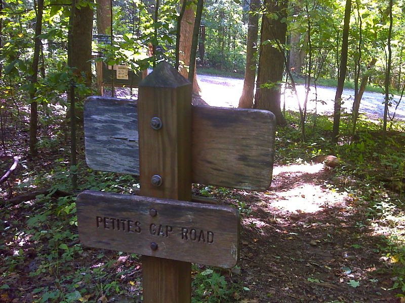
mm 9.9 The southbound trail approaches the crossing of USFS 35 in Petites Gap. GPS N37.5597 W79.4584
Submitted by pjwetzel @ gmail.com
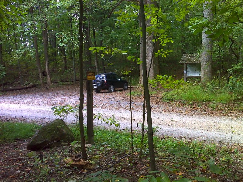
mm 9.9 Petites Gap. The trail crosses USFS 35 here. GPS N37.5592 W 79.4584
Submitted by pjwetzel @ gmail.com