VA Section 23 Pictures - Milemarker 0.0 - 4.7
Petites Gap - Thunder Hill Shelter
Move your mouse across the pictures for more information.
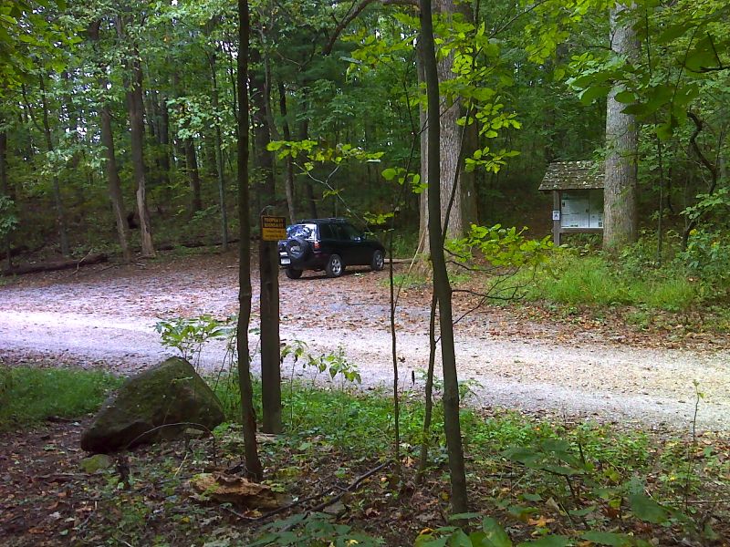
mm 0.0 Petites Gap. The trail crosses USFS 35 here. GPS N37.5592 W 79.4584
Submitted by pjwetzel @ gmail.com
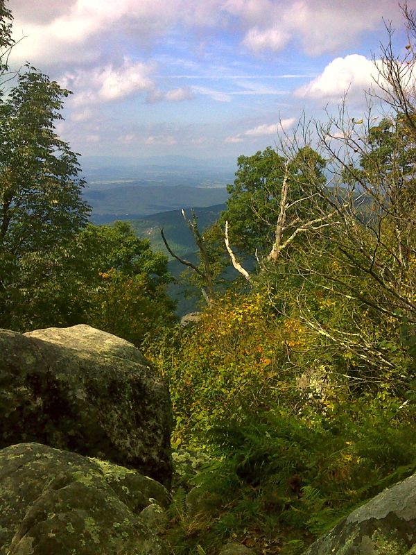
Limited view near Thunder Ridge Summit. GPS N37.5487 W79.4767
Submitted by pjwetzel @ gmail.com
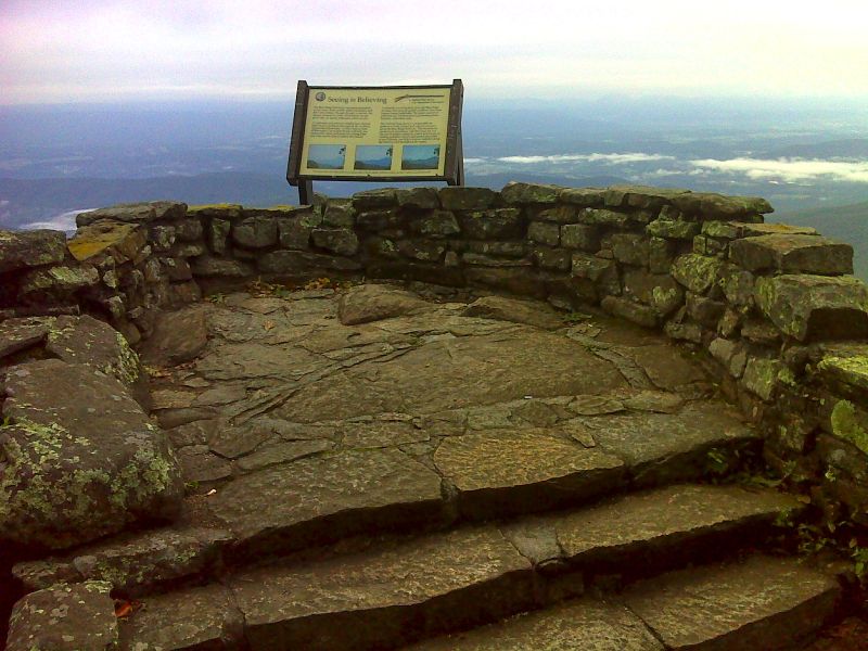
mm 3.3 Thunder Ridge Viewpoint. GPS N37.5404 W79.4905
Submitted by pjwetzel @ gmail.com

mm 3.3 - View west from Thunder Ridge Overlook.
Submitted by dlcul @ conncoll.edu
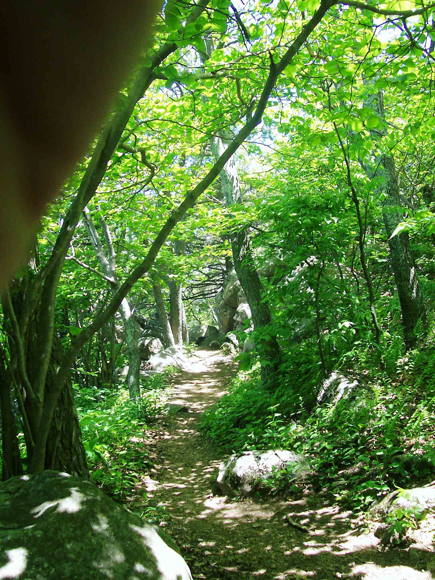
AT just south of Thunder Ridge Overlook. Taken at approx. MM 3.5
Submitted by dlcul @ conncoll.edu
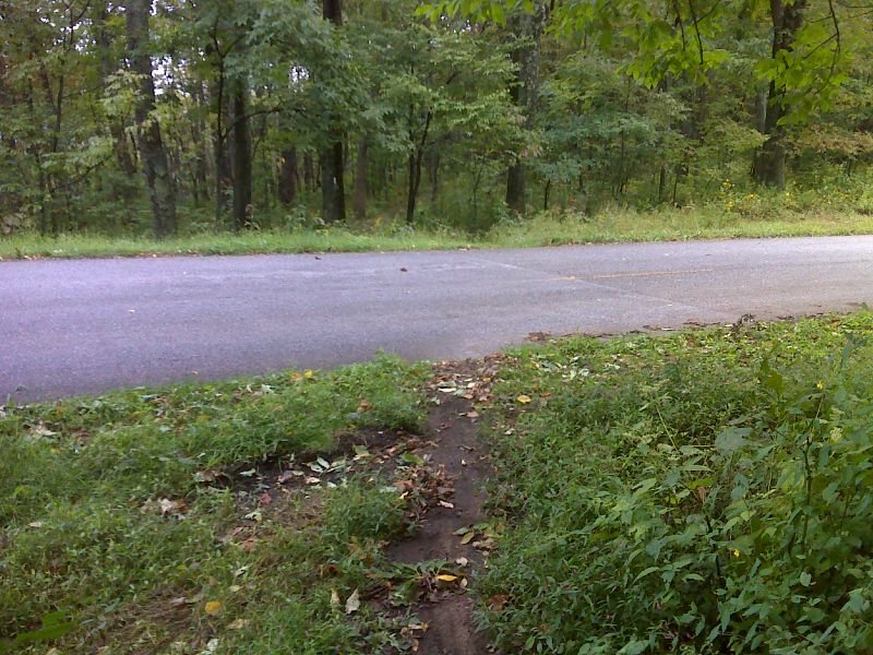
mm 3.7 Lower crossing of Blue Ridge Parkway (Mile 74.9). This is near the parking area for the Thunder Ridge Viewpoint. GPS N37.5376 W79.4956
Submitted by pjwetzel @ gmail.com
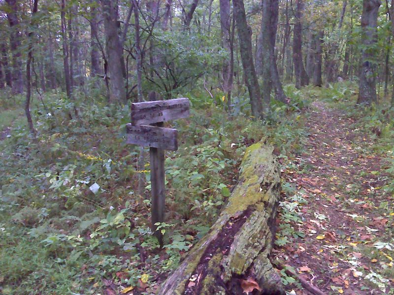
mm 3.8 Junction with Hunting Creek Trail. GPS N37.5371 W79.4958
Submitted by pjwetzel @ gmail.com
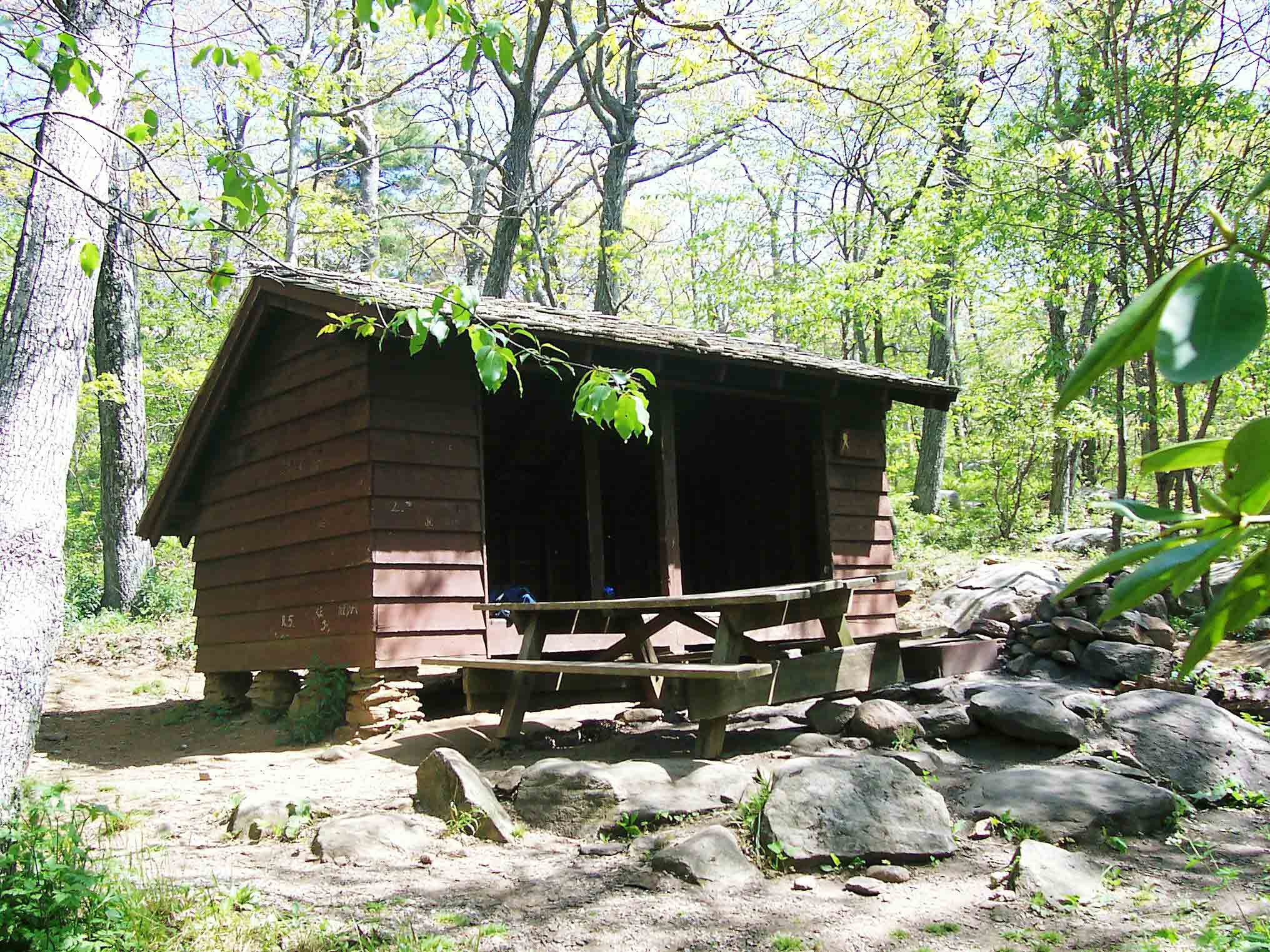
mm 4.7 - Thunder Hill Shelter
Submitted by dlcul @ conncoll.edu