VA Section 23 Pictures - Milemarker 4.7 - 7.3
Thunder Hill Shelter - Parkers Gap (USFS 812)
Move your mouse across the pictures for more information.
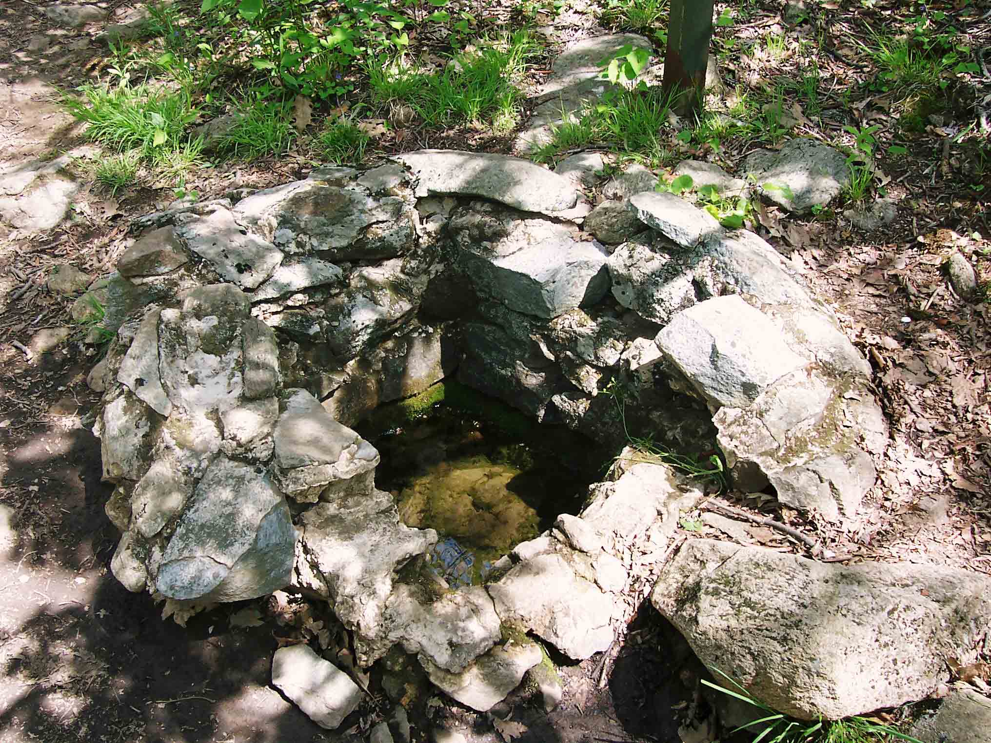
mm 4.7 - Spring at Thunder Hill Shelter
Submitted by dlcul @ conncoll.edu

mm 5.0 Upper crossing of Blue Ridge Parkway (Mile 76.3). No parking at crossing. GPS N37.5246 W79.5052
Submitted by pjwetzel @ gmail.com

Bottle Gentian and red autumn berries on north side of Apple Orchard Mt. GPS N37.5231 W79.5056
Submitted by pjwetzel @ gmail.com
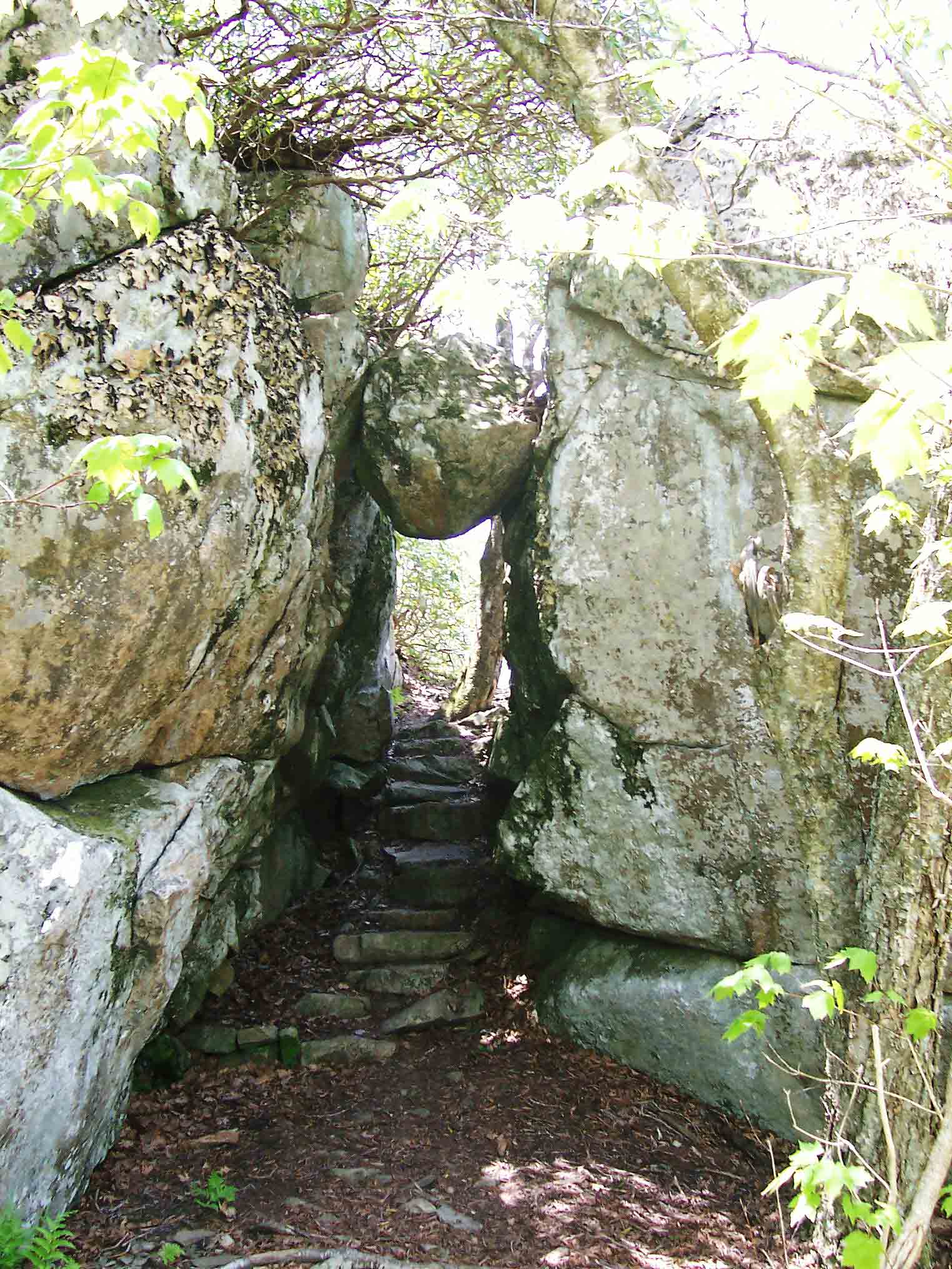
mm 5.6 - The Guillotine on north side of Apple Orchard Mt.
Submitted by dlcul @ conncoll.edu
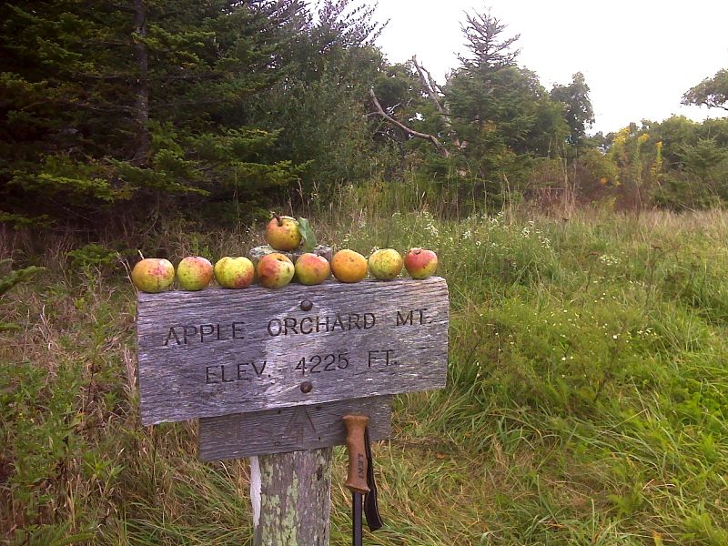
mm 5.9 Harvest from tree near summit of Apple Orchard Mt. GPS N37.5175 W79.5116
Submitted by pjwetzel @ gmail.com
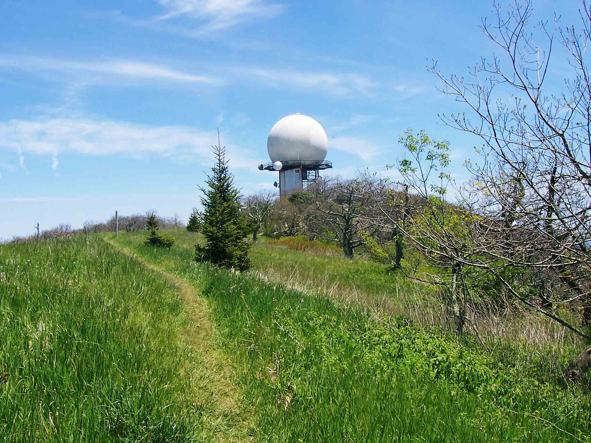
mm 5.9 - Summit of Apple Orchard Mt. (Elevation 4225 feet). This is highest point on AT between Chestnut Knob 200 miles to the south and Mt. Mossilauke in New Hampshire.
Submitted by dlcul @ conncoll.edu

mm 5.9 - View west from Apple Orchard Mt.
Submitted by dlcul @ conncoll.edu
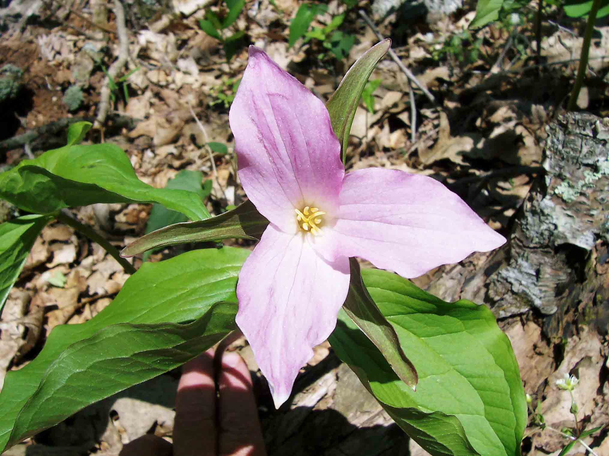
Trillium on south slope of Apple Orchard Mt.
Submitted by dlcul @ conncoll.edu
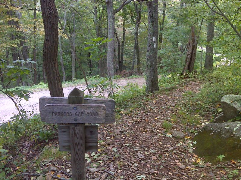
mm 7.3 The southbound trail approaches the crossing of USFS 812 in Parkers Gap. While there might be shoulder parking for 1 or 2 cars here, far better parking is available in nearby Sunset Field on the Blue Ridge Parkway. GPS N37.5106 W79.5224
Submitted by pjwetzel @ gmail.com