VA Section 24 Pictures - Milemarker 3.8 - 11.4
Trail South of Floyd Mt. - Jennings Creek Road (VA 614)
Move your mouse across the pictures for more information.
Fungus amongst us. Taken on the southbound 2200 foot descent from Floyd Mt. to Bryant Ridge Shelter.
Submitted by dlcul @ conncoll.edu
mm 7.6 - Bryant Ridge Shelter
Submitted by dlcul @ conncoll.edu
mm 7.6 - Bryant Ridge Shelter. This is a very nice shelter with a large porch and two different levels for sleeping.
Submitted by dlcul @ conncoll.edu
mm 10.1 - Trail near summit of Fork Mt. north of Jennings Creek
Submitted by dlcul @ conncoll.edu
mm 10.1 - Trail ascending west side of Fork Mt which is just north of Jennings Creek.
Submitted by dlcul @ conncoll.edu

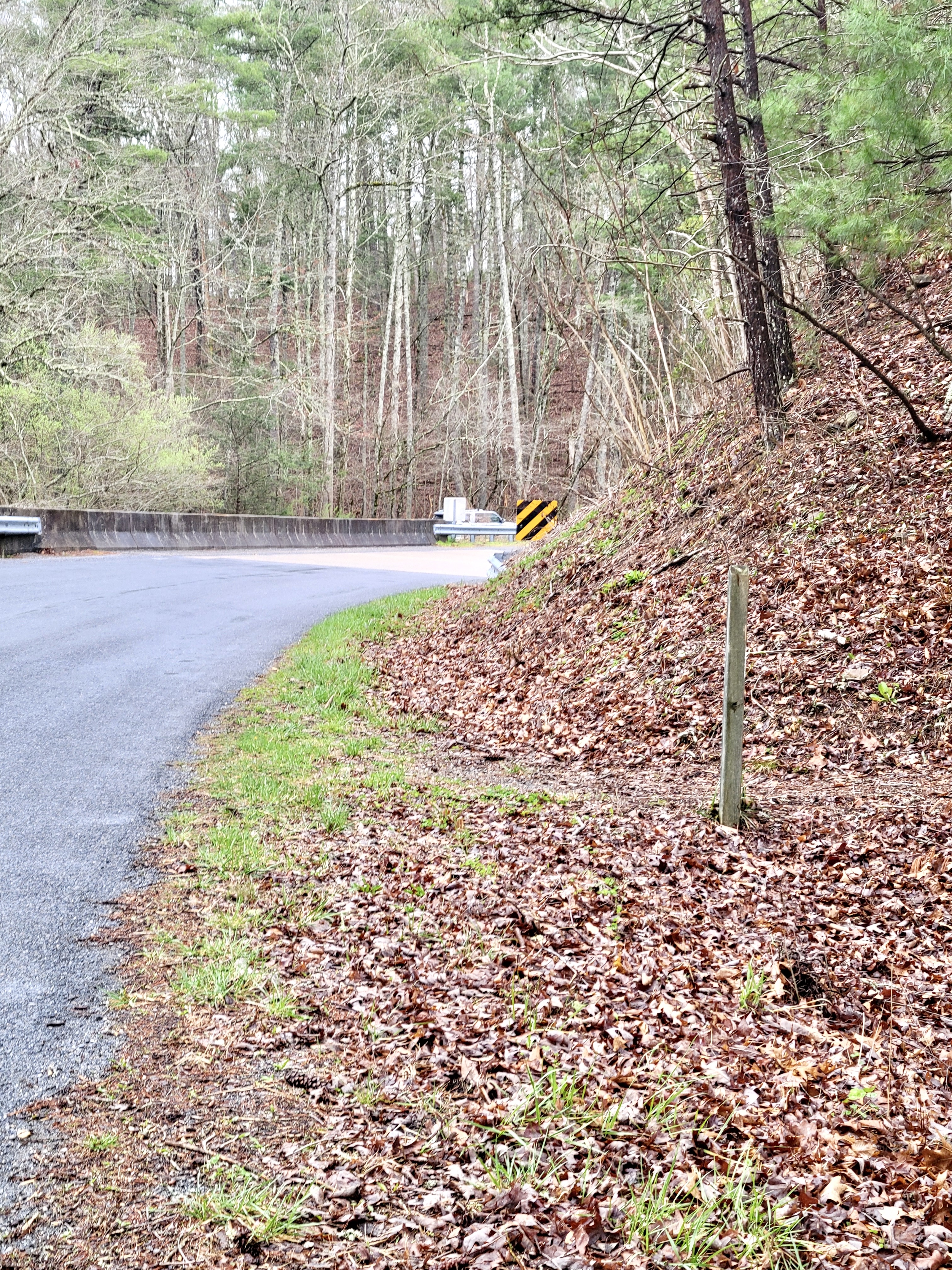
mm 11.4 AT crosses VA 614 (Jennings Creek Road). GPS 37.5293 79.6230. Notice parking area across bridge in background.
Submitted by cabincellars@yahoo.com