VA Section 26 Pictures - Milemarker 0.0 - 3.2
VA 43 - Bobblets Gap Shelter
Move your mouse across the pictures for more information.

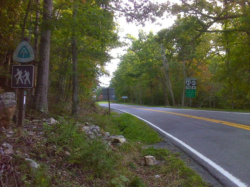
mm 0.0 Crossing of VA 43 near Blue Ridge Parkway. GPS N37.4856 W79.6686
Submitted by pjwetzel @ gmail.com
Flame Pink (wildflower) near Mills Gap Overlook (Mile 1.8)
Submitted by dlcul @ conncoll.edu
Morning view roughly to northwest from Mills Gap Overlook (Mile 1.8). The James River, 1500 feet below, is clearly visible.
Submitted by dlcul @ conncoll.edu
Sharp Top, one of the Peaks of Otter, as seen from Sharp Top Overlook (Mile 2.5).
Submitted by dlcul @ conncoll.edu
Another view (northeast) towards Sharp Top, one of the Peaks of Otter. This was taken on a much clearer day (10/07) from Sharp Top Overlook (Mile 2.5).
Submitted by dlcul @ conncoll.edu

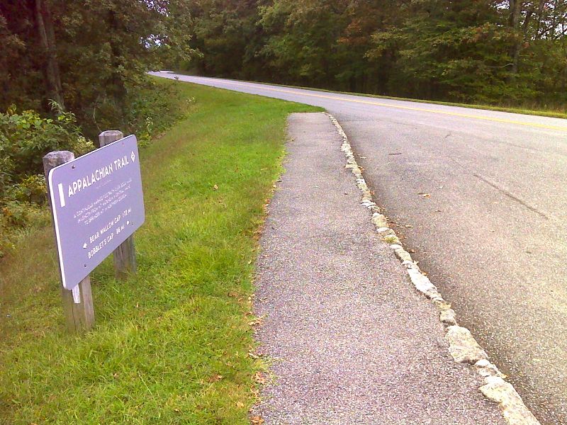
mm 2.5 Sign and crossing of Blue Ridge Parkway at Sharp Top Overlook. GPS N37.4745 W79.6919
Submitted by pjwetzel @ gmail.com

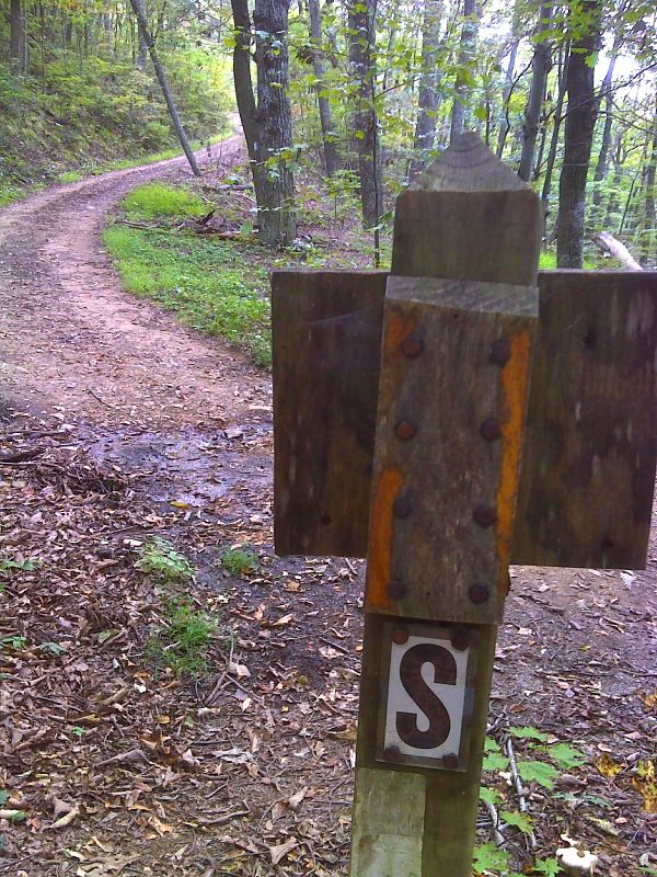
mm 2.9 Short road walk on Bobblets Gap Woods Road (USFS 4008). The southbound trail follows the road for 0.1 miles before going right back into the woods. GPS N37.4681 W79.6989
Submitted by pjwetzel @ gmail.com

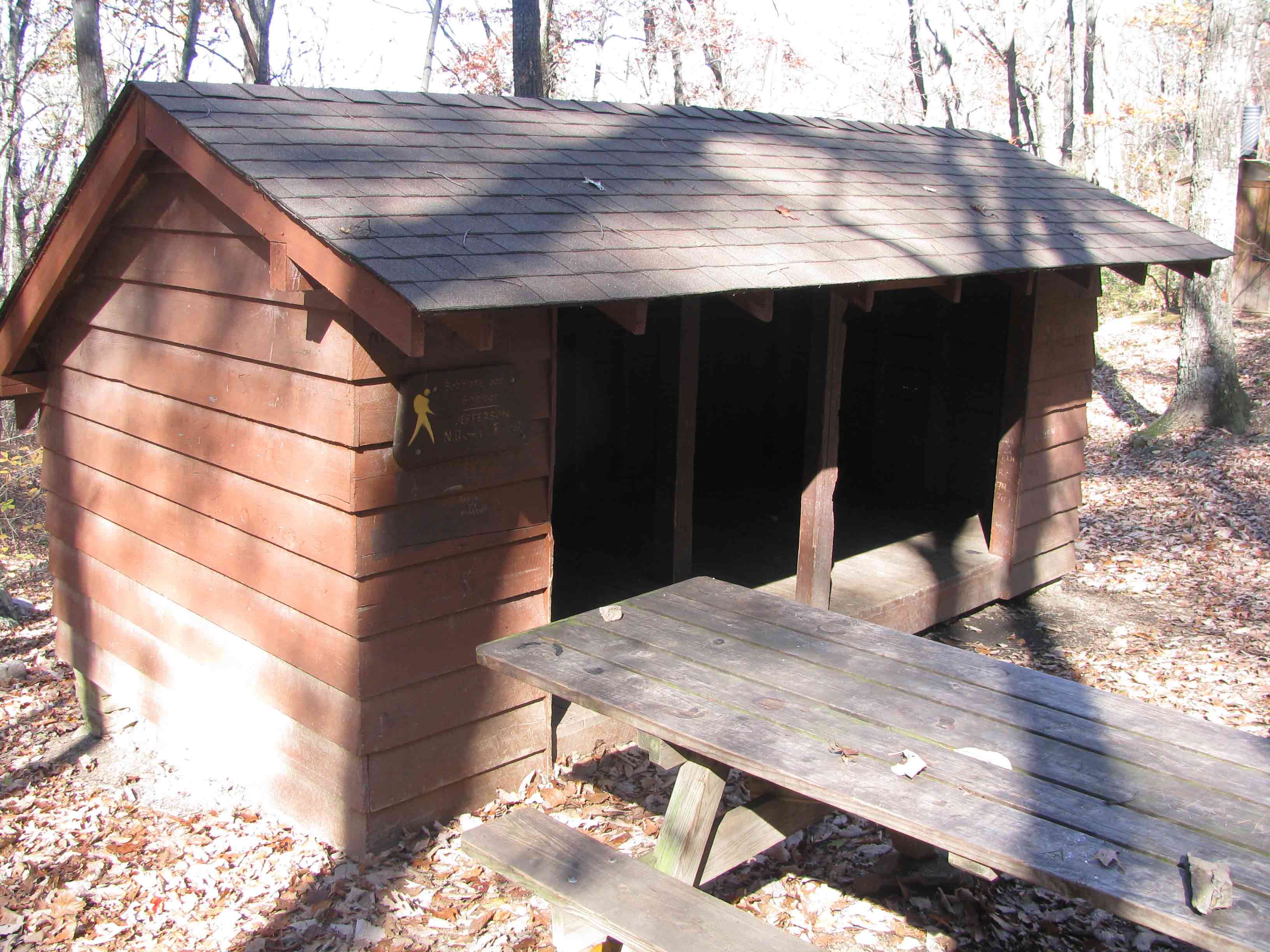
mm 3.2 Bobblets Gap shelter, reached via a blue blazed side trail descending steeply from the AT via several switchbacks for nearly a quarter mile.
Submitted by pjwetzel @ gmail.com