VA Section 27 Pictures - Milemarker 2.7 - 5.8
Between Wilson Creek and Wilson Creek Shelter - Salt Pond Road Crossing
Move your mouse across the pictures for more information.
Fall color between Wilson Creek and Wilson creek shelter
Submitted by dlcul @ conncoll.edu

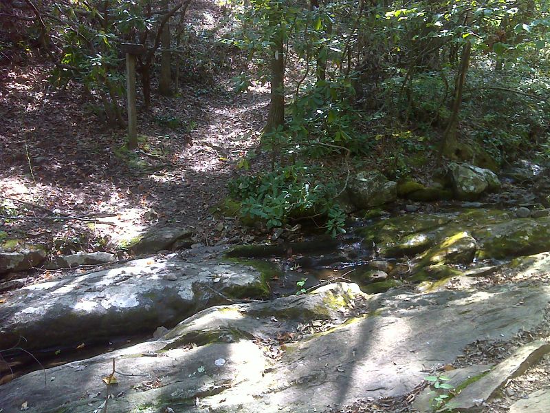
Wilson Creek. GPS N37.4211 W79.7886
Submitted by pjwetzel @ gmail.com

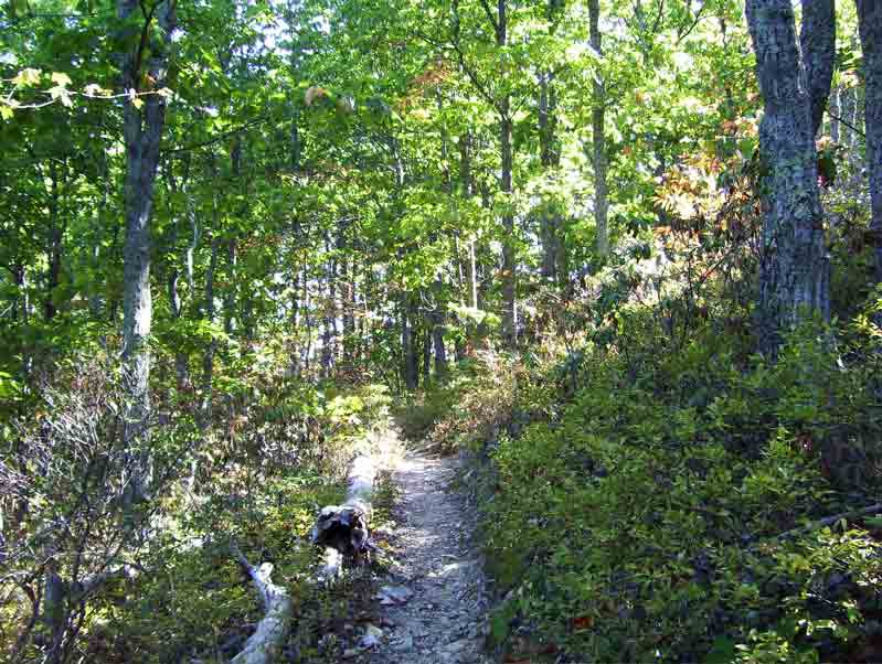
Approaching the high point of the gap in the ridge between Curry Creek and Little Wilson Creek (mile 4.6)
Submitted by dlcul @ conncoll.edu
View over trees to the west at approximately MM 4.6
Submitted by dlcul @ conncoll.edu

mm 5.0 Junction with the Curry Creek Trail. GPS N37.4178 W79.8130
Submitted by pjwetzel @ gmail.com
Possible campsite near Curry Creek. Northbound from Salt Pond Road, there is a steep descent and this is about the first flat place available. Approximately MM 5.1.
Submitted by dlcul @ conncoll.edu
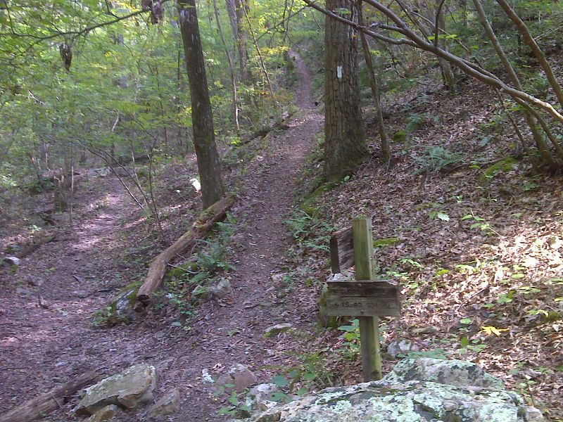
View along trail just north of Salt Pond Road (10/07). Taken at approx. MM 5.7.
Submitted by dlcul @ conncoll.edu
AT crossing of Salt Pond Road (mile 5.8). The southbound AT ascends the stairs on the right. The road ahead leads 1.1 miles to Curry Gap on the Blue Ridge Parkway. Salt Pond Road is gated there to prevent vehicle access from the Parkway. Any possible parking here is just to the left of this picture.
Submitted by dlcul @ conncoll.edu