VA Section 27 Pictures - Milemarker 5.8 - 8.6
South of Salt Pond Road - Fulhardt Knob Shelter
Move your mouse across the pictures for more information.
AT south of Salt Pond Road. Picture taken 10/07
Submitted by dlcul @ conncoll.edu
View from trail south of Salt Pond Road. From the map, the mountain must be Flat Top Mt. This is not the more famous Flat Top that is one of the Peaks of Otter further north.
Submitted by dlcul @ conncoll.edu

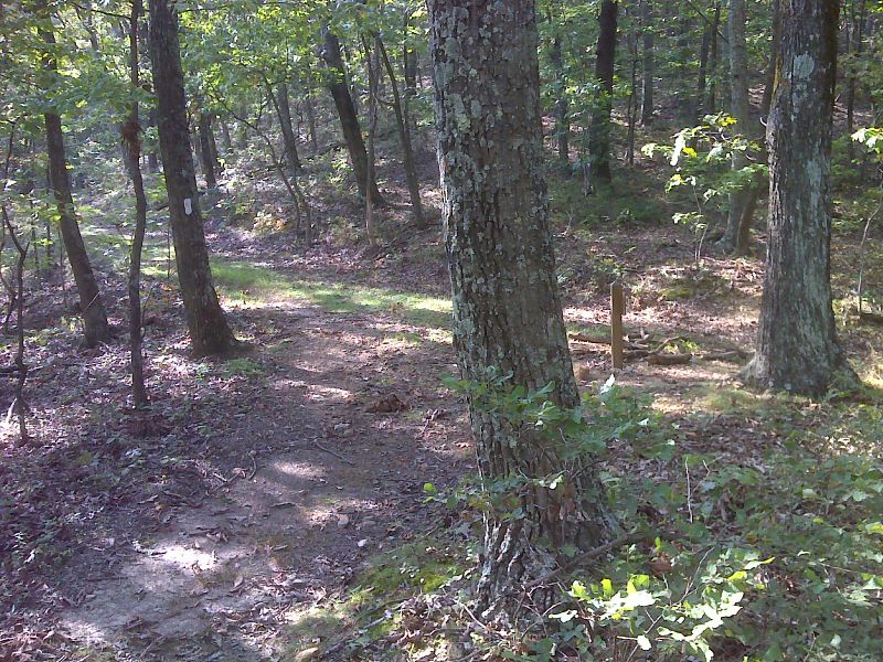
mm 7.7 The southbound AT meets the Fulhardt Knob Fire Road. The trail turns left (east) onto this road. Salt Pond Road is 0.15 miles to the right. GPS N37.4018 W79.8410
Submitted by pjwetzel @ gmail.com
Junction of Fullhardt Knob Fire Road and Salt Pond Road. This might be a possible access point to the AT. The southbound AT joins the fire road 0.15 miles to the north of this point at MM 7.7. See listings for Sec. 27.
Submitted by dlcul @ conncoll.edu
Fall color along the AT just after the southbound trail starts to follow Fullhardt Fire Road (Mile 7.7).
Submitted by dlcul @ conncoll.edu
Fall color along the Fullhardt Knob Fire Road. The AT follow this from Mile 7.7 to 8.6.
Submitted by dlcul @ conncoll.edu
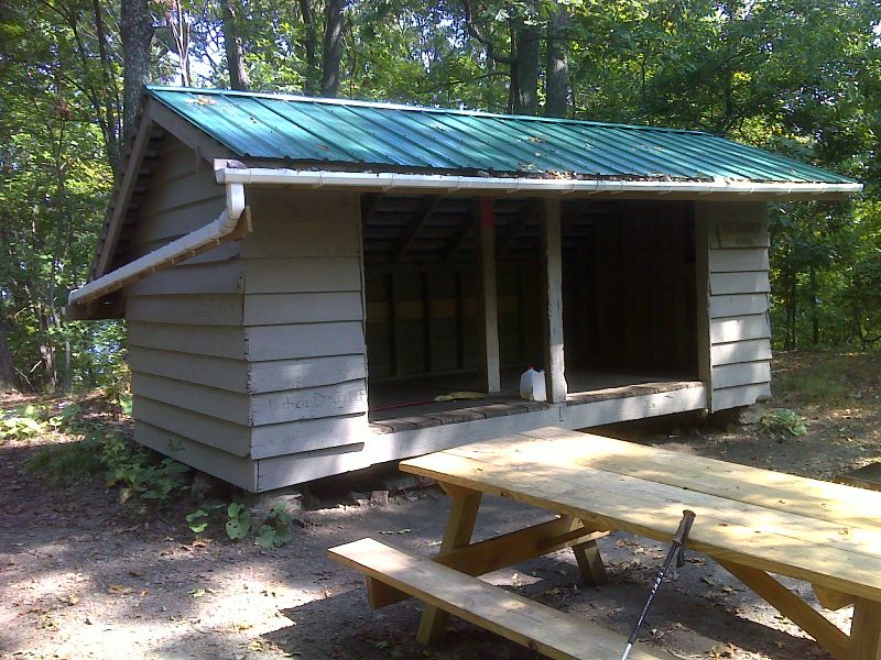
Fullhardt Knob Shelter (MM 8.6). This shelter is the last one on the AT to use a cistern system. Rainwater from the shelter roof goes into a cistern providing water for the shelter. The shelter is at the end of the Fire Road at the site of a former fire tower.
Submitted by dlcul @ conncoll.edu

mm 8.6 A more recent (2012) picture of Fulhardt Knob Shelter showing improvements to the water collection system for the cistern which provides water here. GPS N37.3985 W79.8538
Submitted by pjwetzel @ gmail.com