VA Section 27 Pictures - Milemarker 9.5 - 12.1
North of Tollhouse Gap - US 11
Move your mouse across the pictures for more information.
View to the north (northwest?) from trail as it descends southbound to Tollhouse Gap. This picture was taken at approximately mile 9.5.
Submitted by dlcul @ conncoll.edu
For reasons understood by only the Forest Service, Fullhardt Knob Fire Road and Fullhardt Knob Shelter are not on Fullhardt Knob. This is a view of the actual Fullhardt Knob taken as seen from trail as it descends southbound to Tollhouse Gap. This picture was taken at approximately mile 9.5.
Submitted by dlcul @ conncoll.edu

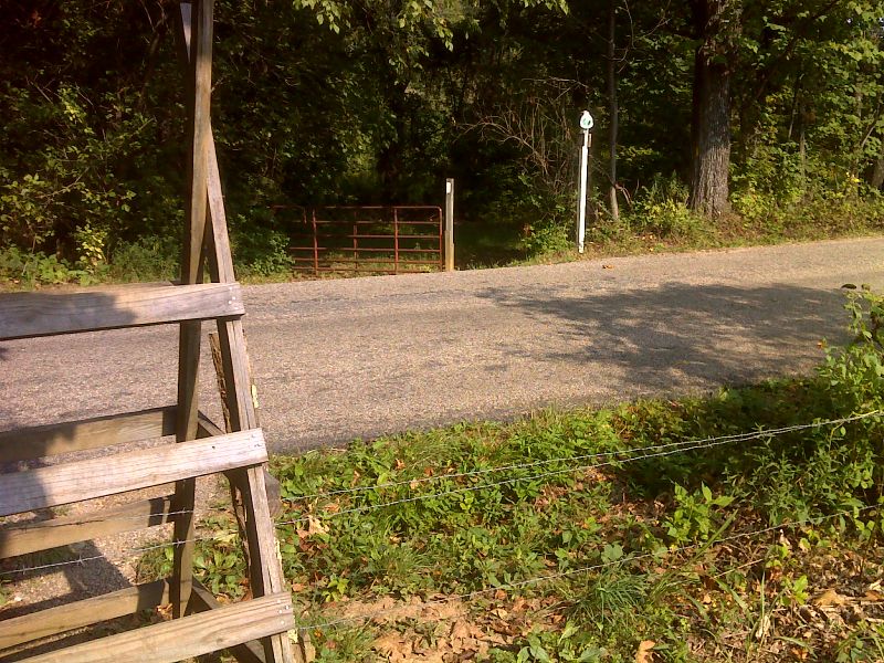
mm 11.5 Trail crossing of VA 652. There are signs here which prohibit parking. GPS N37.3992 W79.8852
Submitted by pjwetzel @ gmail.com
Wildflowers in field just west (trail south) of VA 652. MM 11.5.
Submitted by dlcul @ conncoll.edu
View to west towards Daleville and Tinker Ridge which the southbound trail eventually follows. Taken from MM 11.7.
Submitted by dlcul @ conncoll.edu
View to east to Fullhardt Knob from the knoll just west of VA 652 (Mile 11.7). The AT circles to the right around the knob.
Submitted by dlcul @ conncoll.edu
For the southbound hiker the trail enters a pasture after crossing VA 652, crosses a small stream via a railroad-tie foot bridge, and then steeply ascends a grassy slope in pasture to the marker shown at the crest of the hill. Turn right from here, cross pasture to a stile and enter woods, gradually descending. Northbound hikers cross stile into this pasture and ascend gently to the marker shown, then turn left steeply down the hill.
Submitted by pjwetzel @ gmail.com

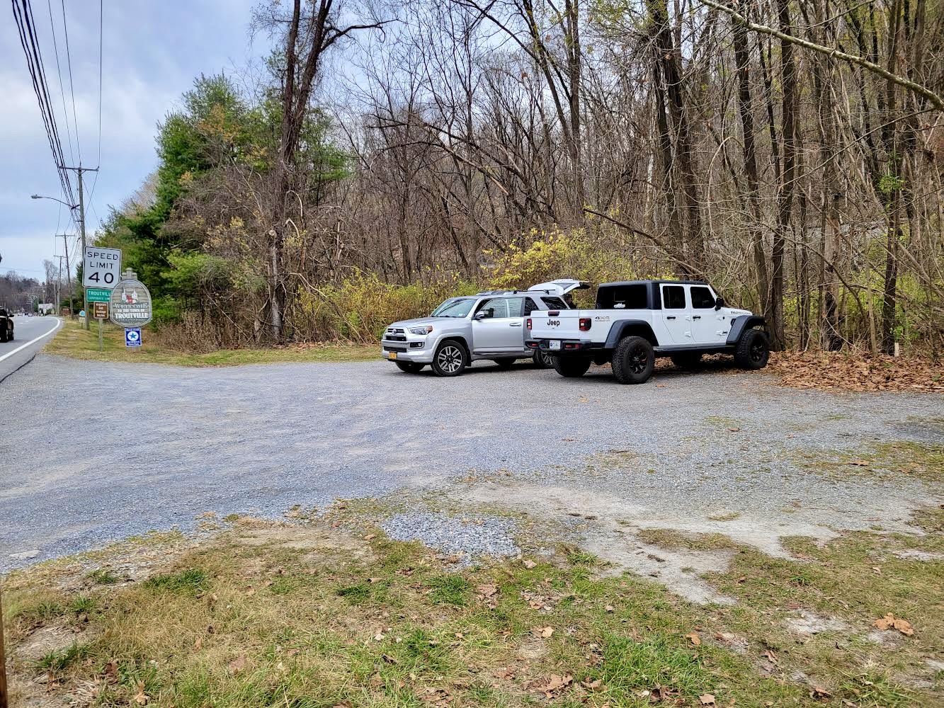
mm 12.1 AT Crossing is just north of parking area. Zoom in on pic and you will see the AT sign on the left hand side of the picture, behind the 40 mph speed limit sign
Submitted by cabincellars @ yahoo.com