VA Section 27 Pictures - Milemarker 12.4 - 13.6
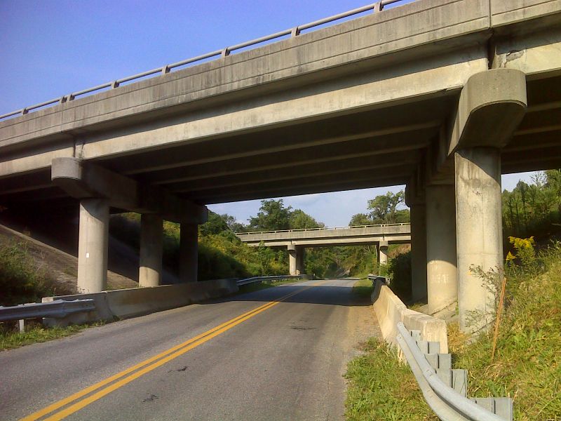
I-81 Underpass - US 220
Move your mouse across the pictures for more information.

mm 12.4 The AT follows VA 779 (Valley Road) through this I-81 underpass. GPS N37.3992 W79.8852
Submitted by pjwetzel @ gmail.com
View towards Daleville and Tinker Mountain from approximately Mile 12.6. The southbound trail goes through fields and old orchards after it crosses under 1-81. For some distance it then parallels the freeway before turning west and meeting US 220 not far from Exit 150 of I-81.
Submitted by dlcul @ conncoll.edu

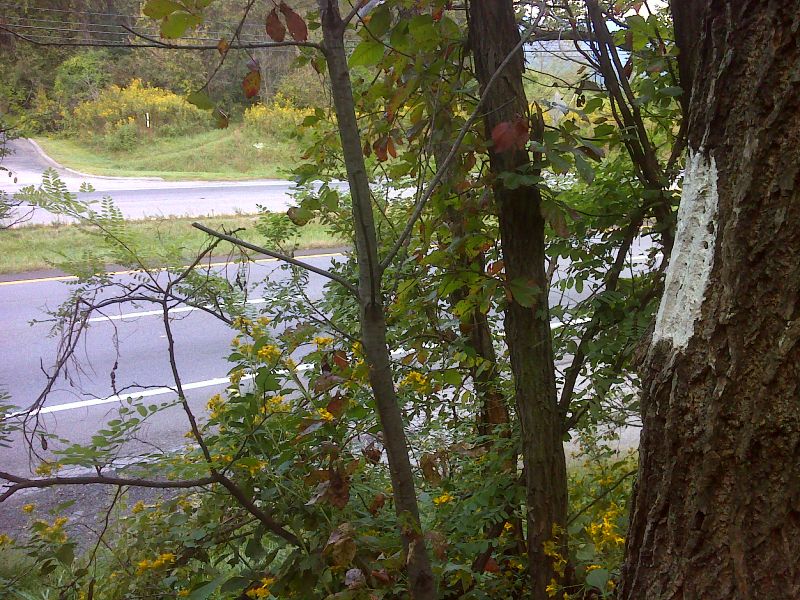
mm 13.6 The southbound AT reaches US 220 in Daleville. The continuation of the trail can be seen on the other side of the road. GPS N37.3937 W79.9061
Submitted by pjwetzel @ gmail.com

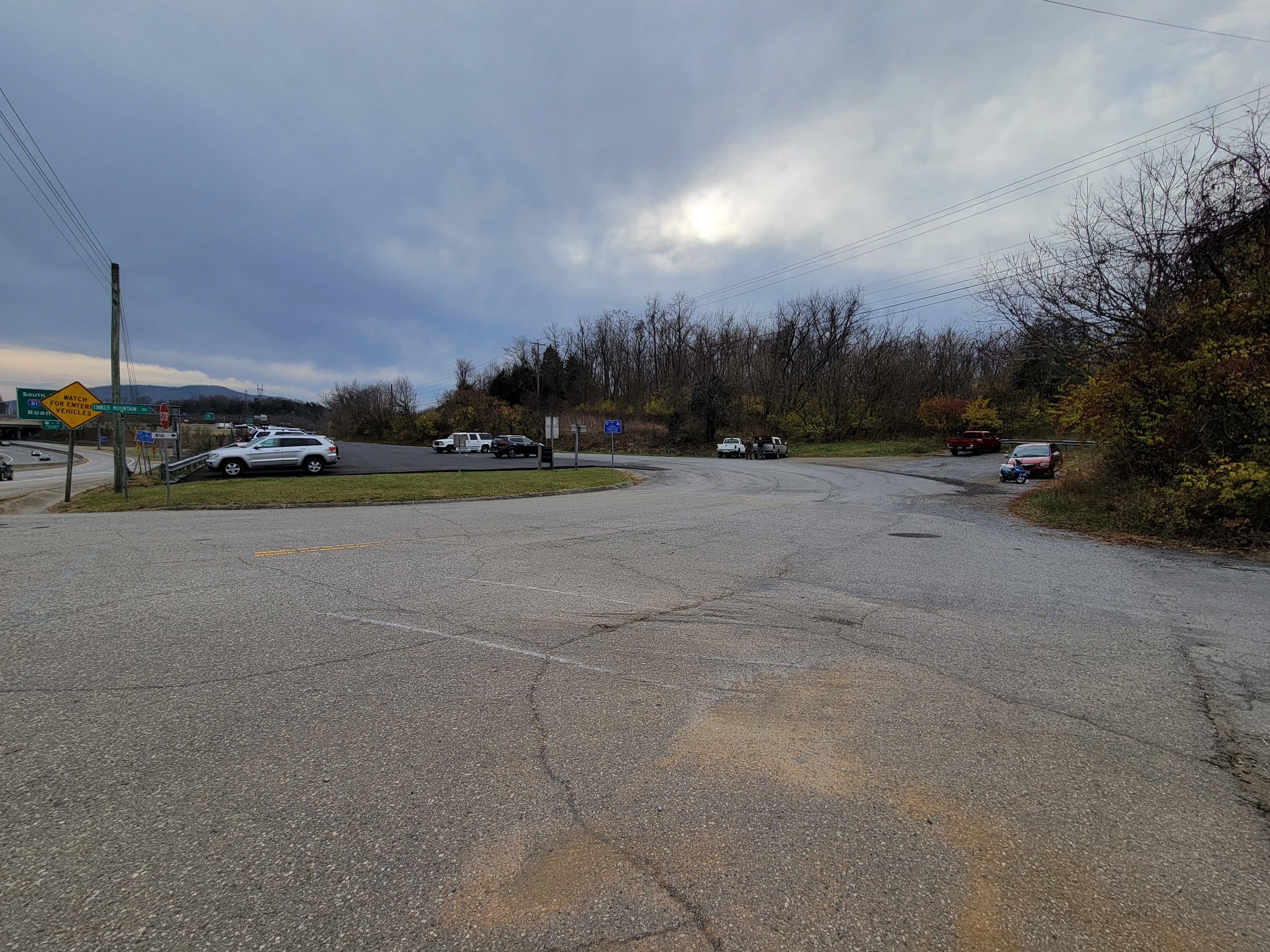
MM 13.6 US 220/VA 816 Parking Lot. The Motorcycle parked in front of the red car on the right hand side of this image is the NW corner where the unofficial path leads to AT in.2 miles
Submitted by cabincellars @ yahoo.com

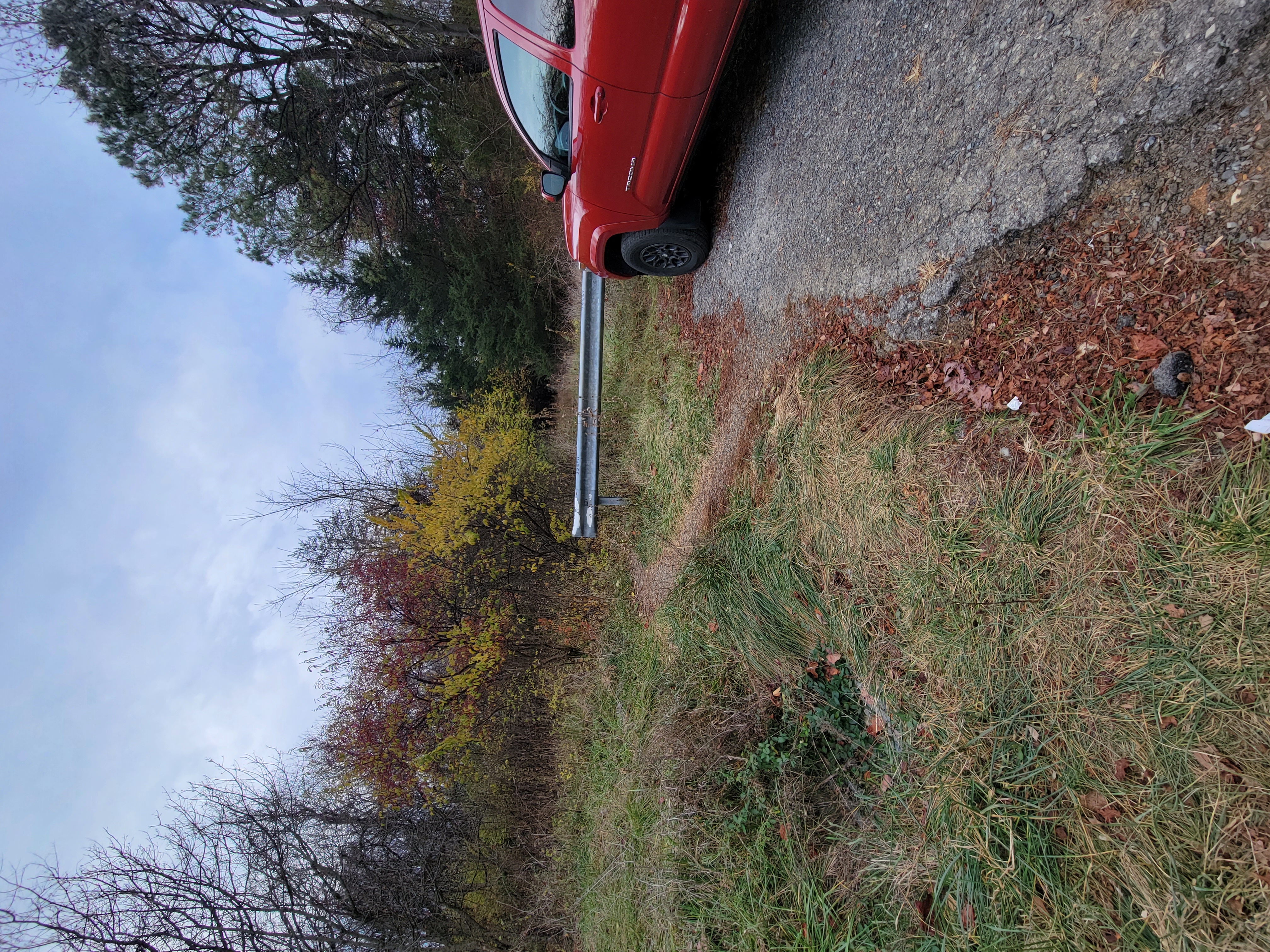
MM 13.6 Close up of unofficial path around guardrail that leads to the AT
Submitted by cabincellars @ yahoo.com