VA Section 28 Pictures - Milemarker 0.3 - 9.1
Trail to Commuter Parking Lot - Lambert Meadow Camping Area
Move your mouse across the pictures for more information.
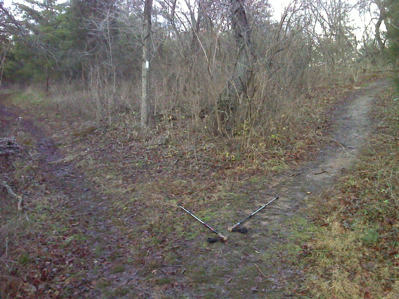
mm 0.3 Intersection with the side trail which leads 0.2
miles to the Park and Ride parking lot on US 220 near the I-81 interchange
(Exit 150)
Submitted by pjwetzel @ gmail.com
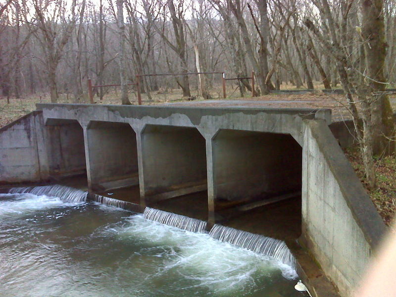
mm 0.5 Appalachian Trail crossing of Tinker Creek on an
abandoned major road bridge.
Submitted by pjwetzel @ gmail.com
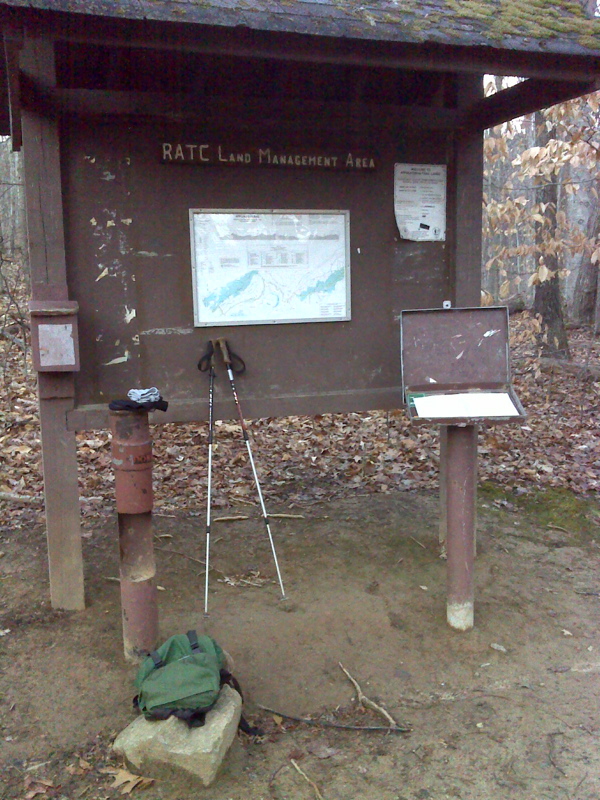
mm 1.1 Information Kiosk maintained by the Roanoke
Appalachian Trail Club
Submitted by pjwetzel @ gmail.com
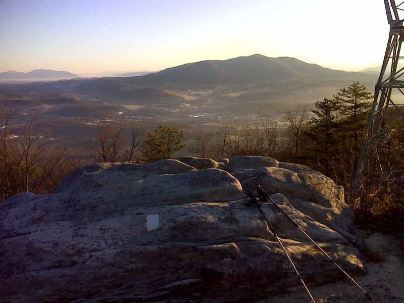
mm 2.1 View east from Tinker Top Vista
Submitted by pjwetzel @ gmail.com
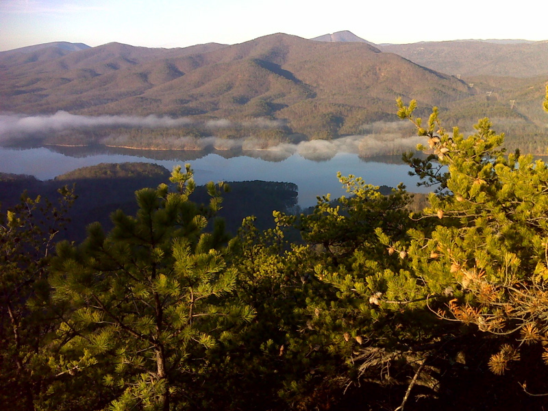
mm 2.7 Carvin Cove Reservoir (Roanoke water supply) from the
Appalachian Trail. McAfee Knob is the prominent peak right of center.
GPS: N37.3857 W79.9349
Submitted by pjwetzel @ gmail.com
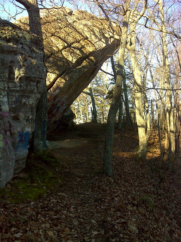
mm 4.0 Hay Rock, a major overhang (natural shelter) right on
the Appalachian Trail.
Submitted by pjwetzel @ gmail.com
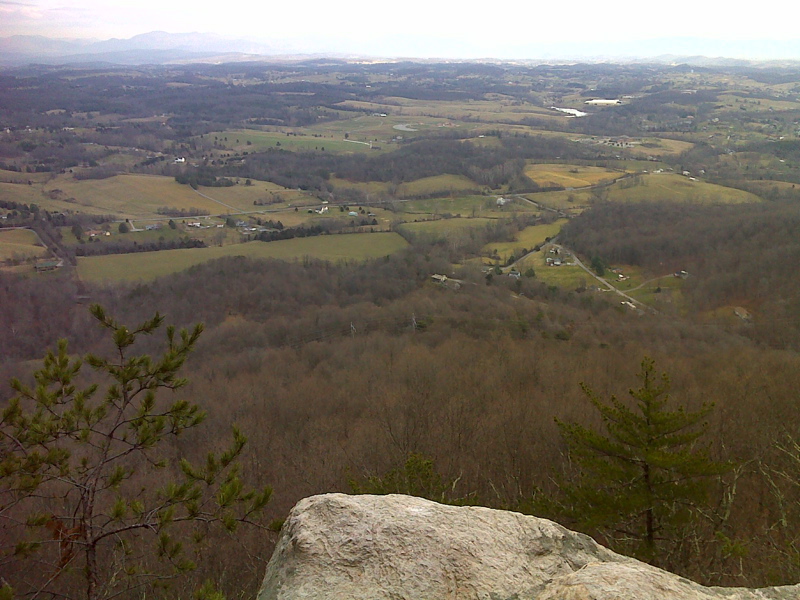
View Northwest from Rucker Knob Vista. GPS: N37.4210
W79.9604
Submitted by pjwetzel @ gmail.com
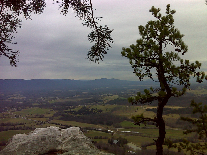
View Northwest from vista one mile west of Ruckers Knob.
GPS: N37.4303 W79.9665
Submitted by pjwetzel @ gmail.com