VA Section 28 Pictures - Milemarker 9.1 - 12.3
Lambert Meadows Camping Area - Brickeys Gap
Move your mouse across the pictures for more information.
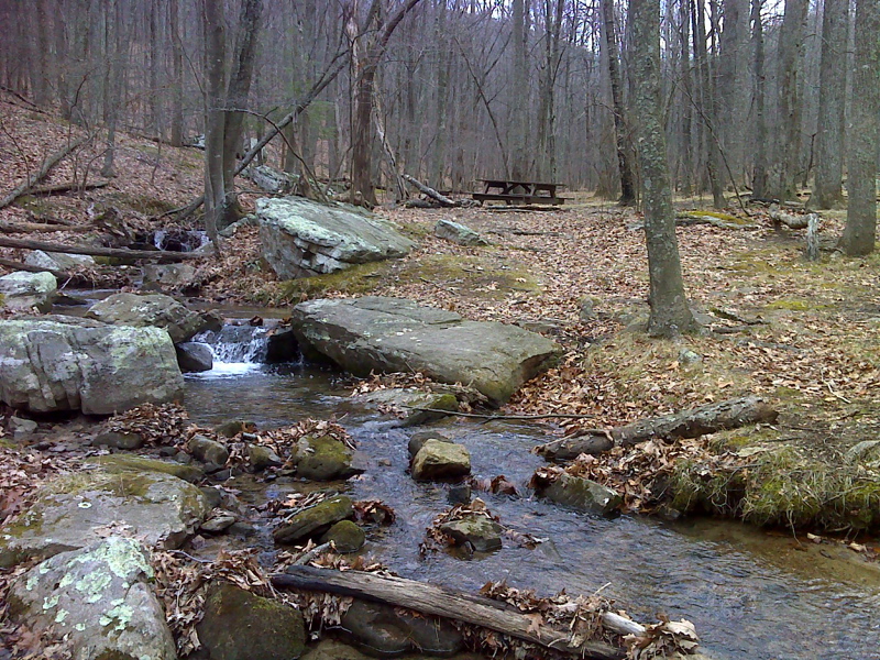
mm 9.1 Lamberts Meadow Campsite
Submitted by pjwetzel @ gmail.com
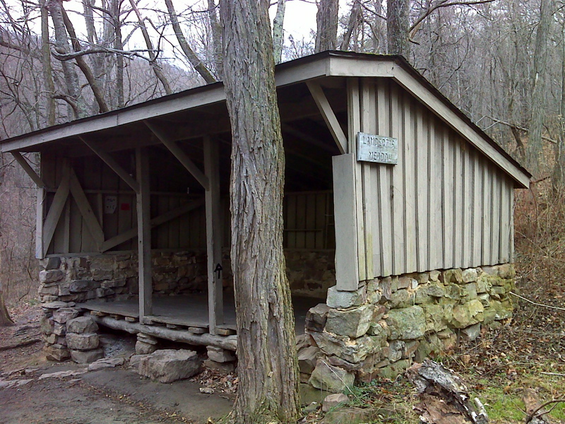
mm 9.4 Lamberts Meadow Shelter
Submitted by pjwetzel @ gmail.com
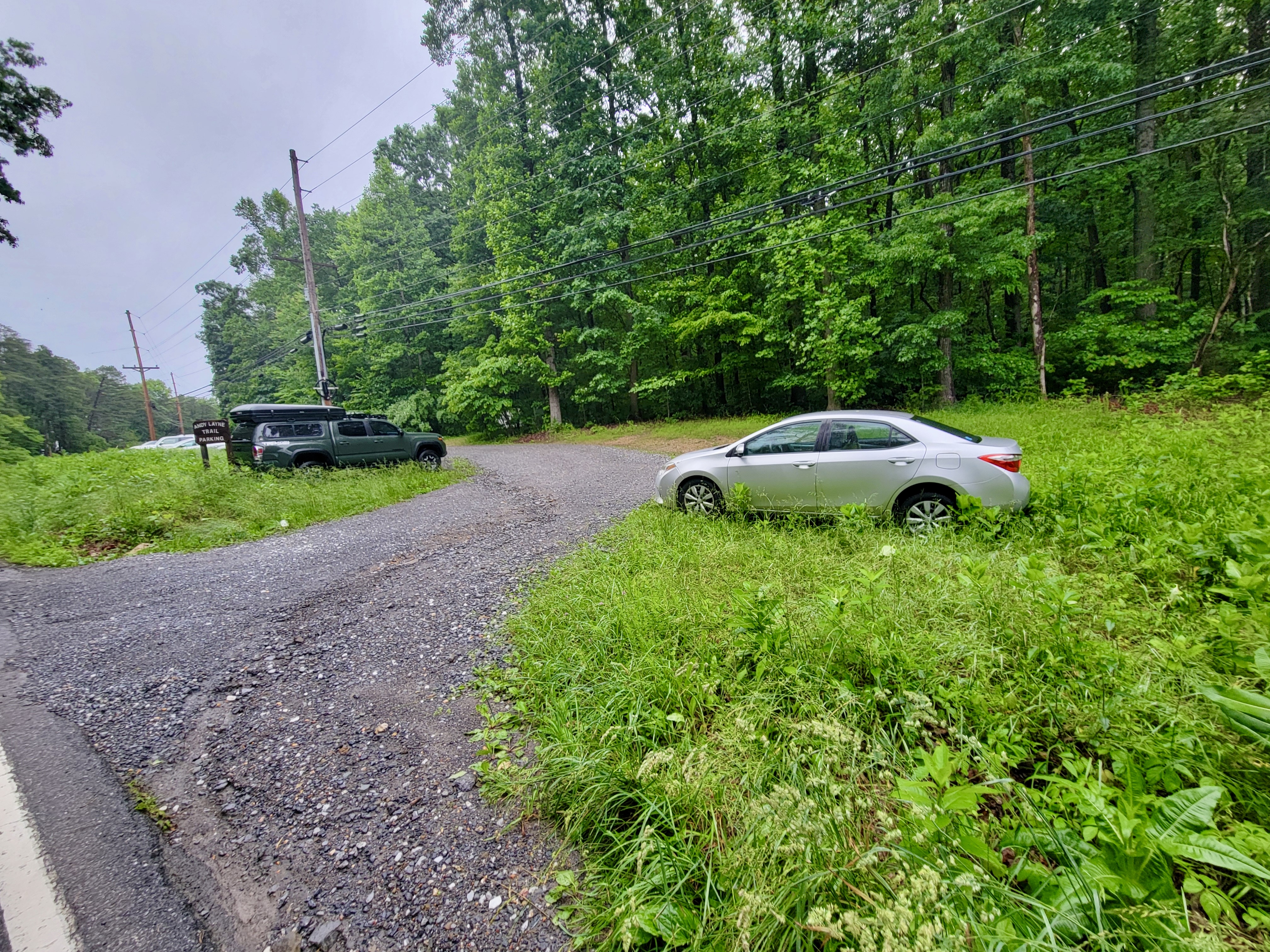
mm 10 access trail Parking area for yellow-blazed Andy Layne Trail. From here it is about 3 miles to the AT in Scorched Earth Gap at mm 10.0
Submitted by cabincellars@yahoo.com
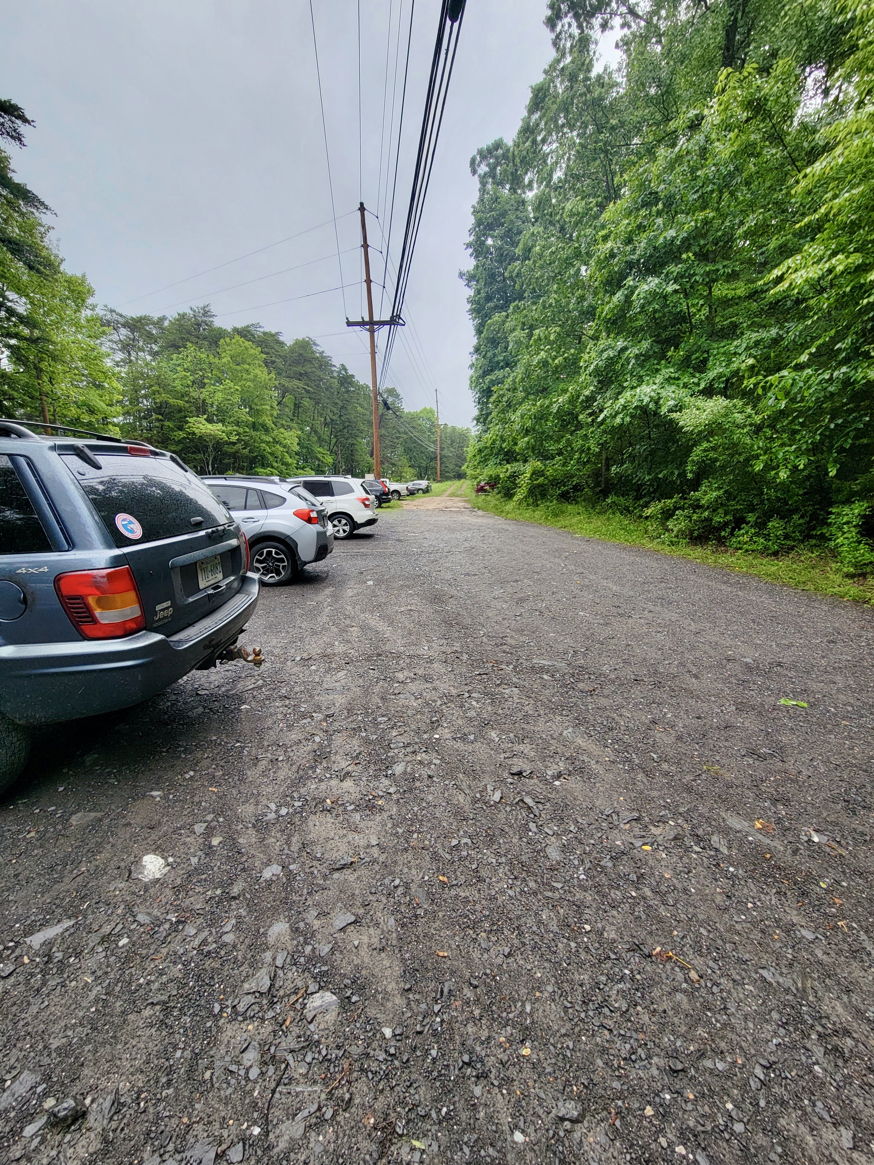
mm 10 access trail Andy Layne Parking Lot. Zoom in to see that parking area extends into grassy area
Submitted by cabincellars@yahoo.com
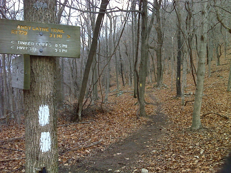
mm 10.0 Junction with the yellow-blazed Andy Layne Trail in
Scorched Earth Gap
Submitted by pjwetzel @ gmail.com
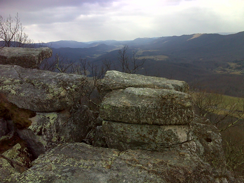
Vista from Tinker Cliffs. Between mm 10.5 and 11.0 the AT
follows along the top of the cliffs. GPS at this point: N37.4380 W79.9992
Submitted by pjwetzel @ gmail.com
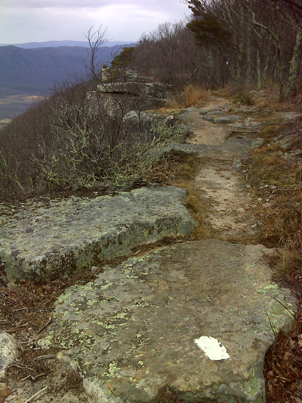
Appalachian Trail at the rim of Tinker Cliffs. GPS: N37.4347
W-79.9836
Submitted by pjwetzel @ gmail.com
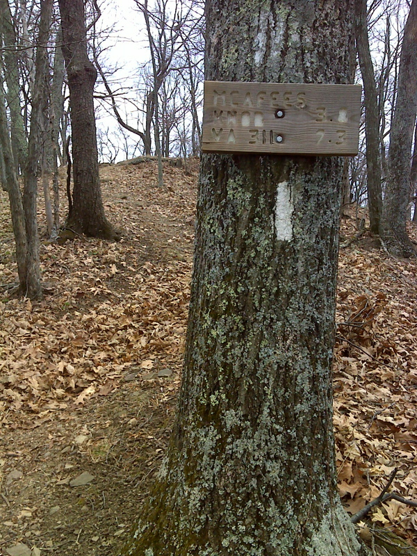
mm 12.3 Appalachian Trail near Brickeys Gap
Submitted by pjwetzel @ gmail.com