VA Section 28 Pictures - Milemarker 13.1 - 18.8
View North of Rock Haven - Johns Spring Shelter
Move your mouse across the pictures for more information.
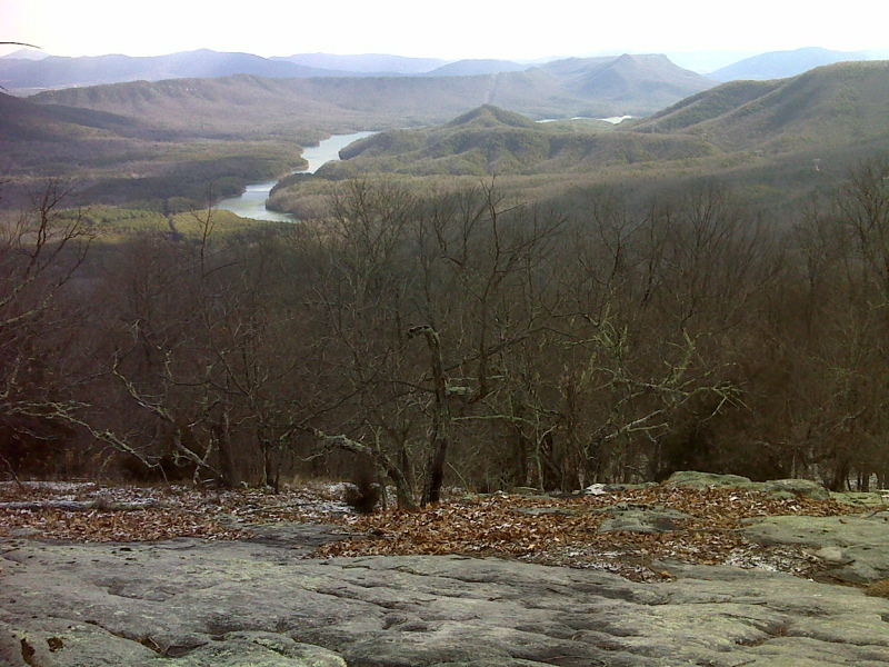
View of Carvin Cove from 0.3 miles north of Rock Haven. The
long narrow ridge immediately behind the reservoir is Tinker Ridge. The
trail to the north follows the crest of this. Taken at approx. mm 12.1.
GPS: N37.4078 W80.0012
Submitted by pjwetzel @ gmail.com
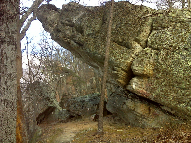
mm 12.4 Rock Haven, aptly named - a Natural Shelter on the
AT
Submitted by pjwetzel @ gmail.com
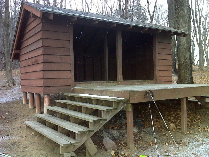
mm 15.4 Campbell Shelter
Submitted by pjwetzel @ gmail.com
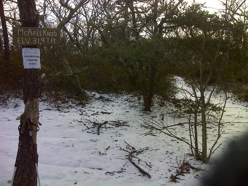
mm 16.1 Spur trail to McAfee Knob view, AT is to the right
Submitted by pjwetzel @ gmail.com
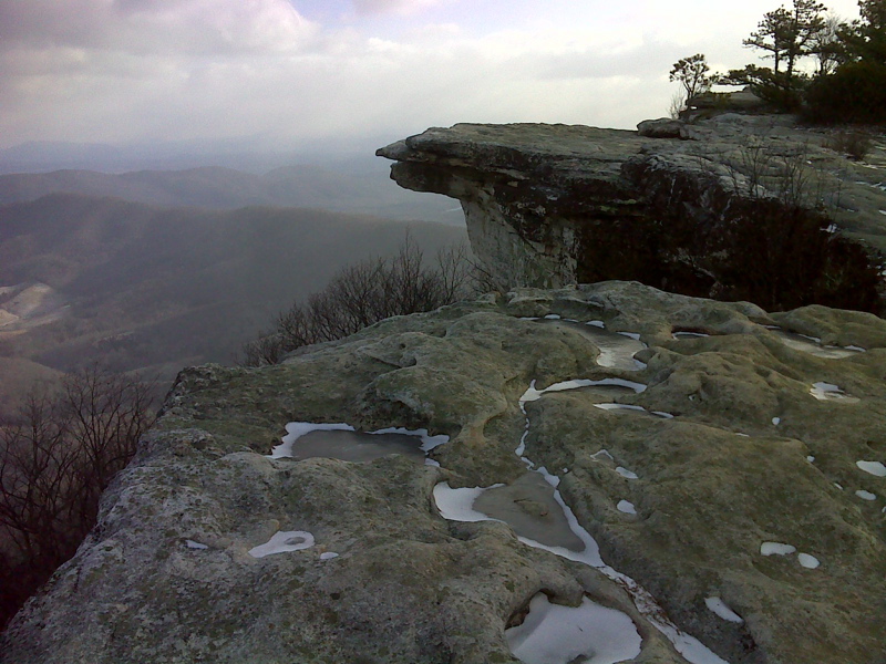
mm 16.1 McAfee Knob
Submitted by pjwetzel @ gmail.com
McAfee Knob taken Oct 2008. Around MM 16.1 of this section.
Submitted by fredmugs @ sbcglobal.net
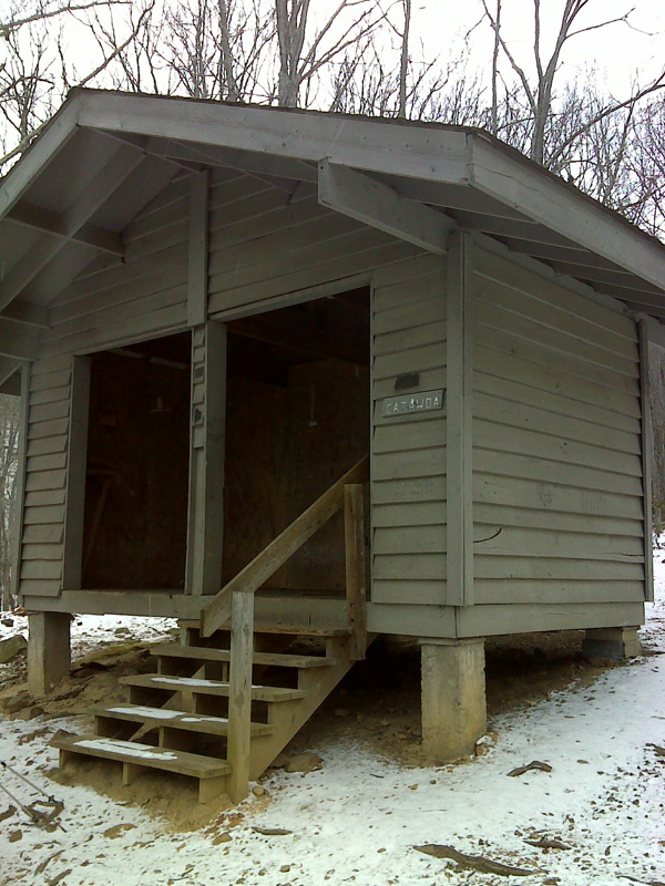
mm 17.8 Catawba Mountain Shelter
Submitted by pjwetzel @ gmail.com
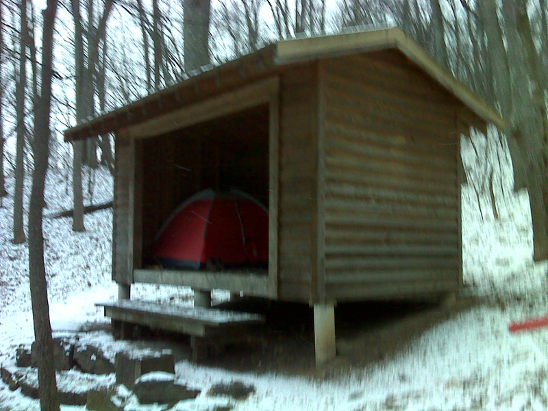
mm 18.8 Johns Spring Shelter early on a January morning
Submitted by pjwetzel @ gmail.com