VA Section 3 Pictures - Milemarker 3.6 - 5.0
Sam Moore Shelter - Buzzard Hill
Move your mouse across the pictures for more information.
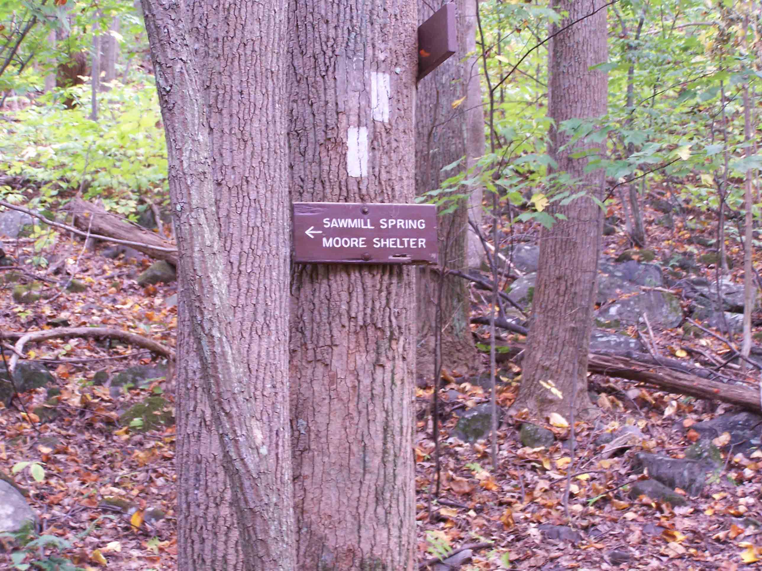
mm 3.6 - Turn-off for Sam Moore Shelter
Submitted by at @ rohland.org
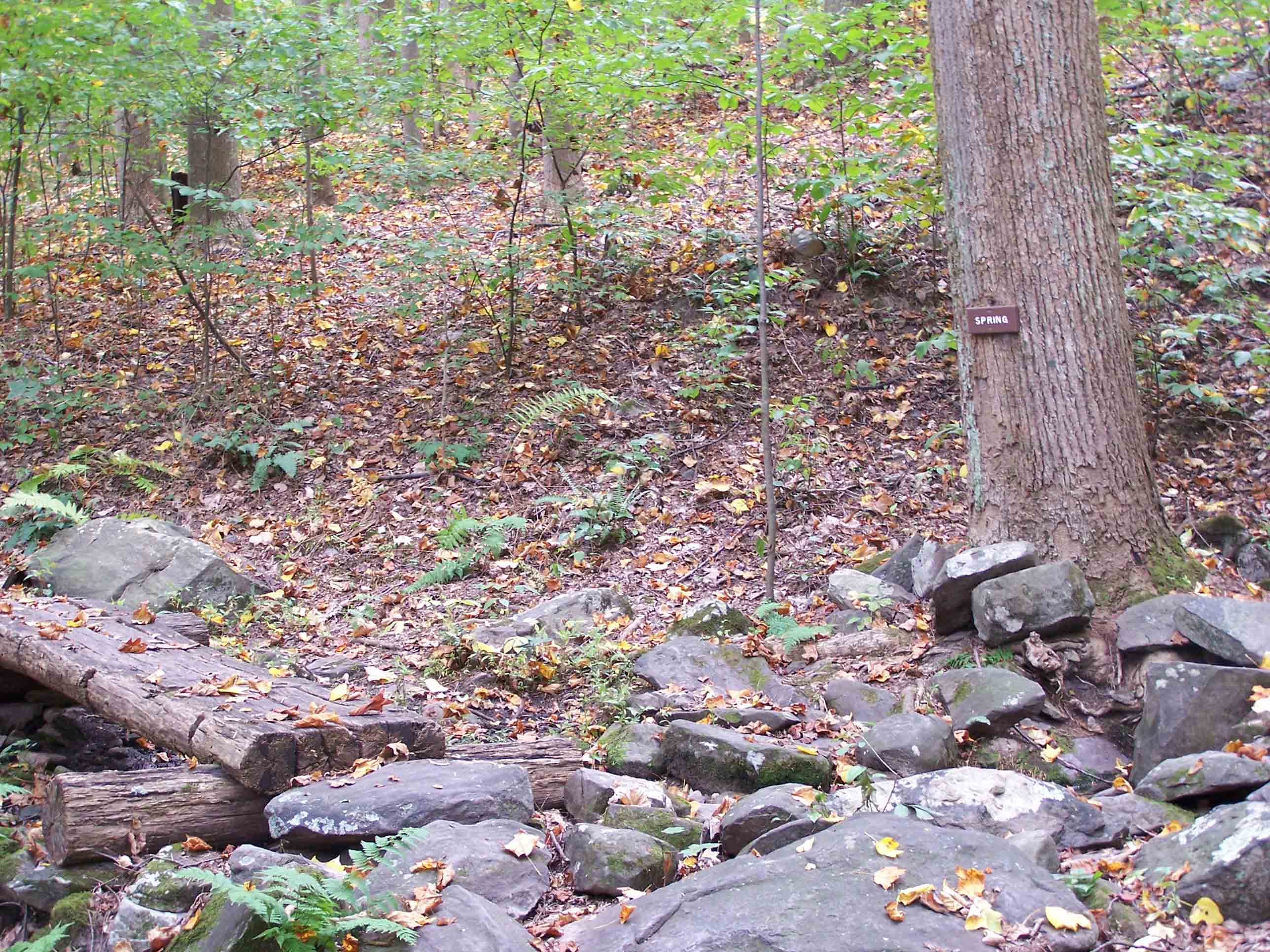
mm 3.6 - Spring at Sam Moore Shelter
Submitted by at @ rohland.org
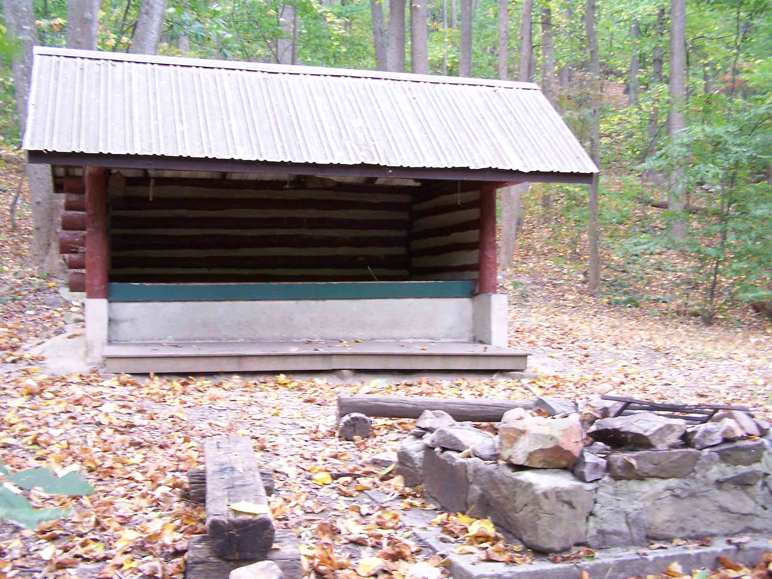
mm 3.6 - Sam Moore Shelter
Submitted by at @ rohland.org
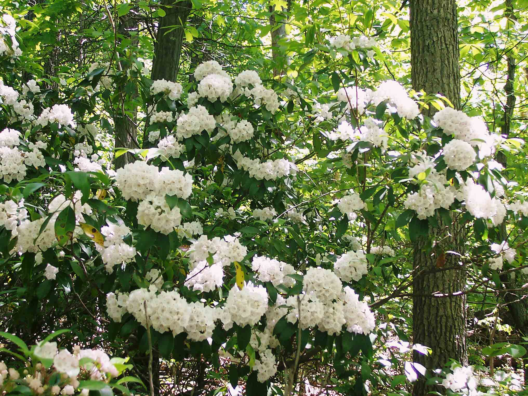
Laurel south of Sam Moore Shelter. Taken at approx. MM 3.7
Submitted by dlcul @ conncoll.edu
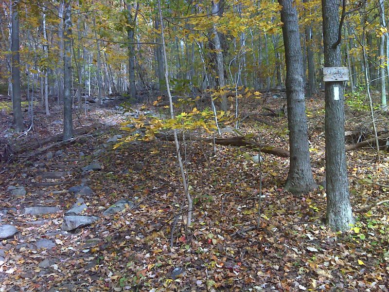
mm 4.3 Sign in Fent Wiley Hollow GPS N39.0861 W77.8842
Submitted by pjwetzel @ gmail.com
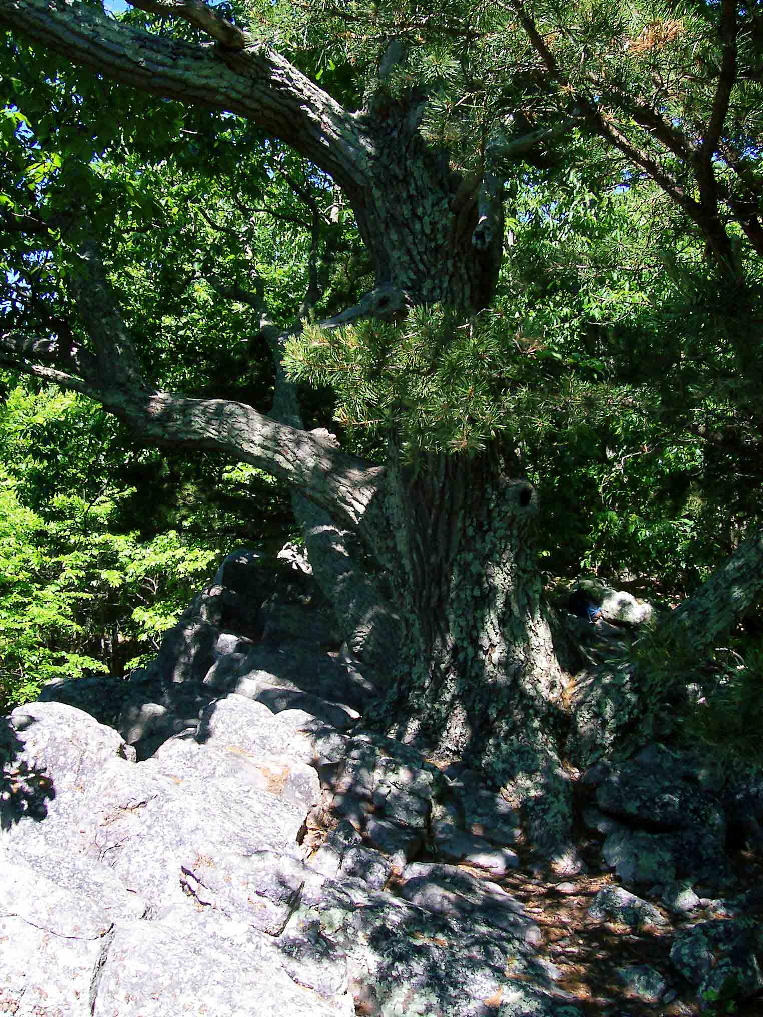
mm 5.0 - Tree at summit Buzzard Hill. A short side trail from the AT leads to this point.
Submitted by dlcul @ conncoll.edu
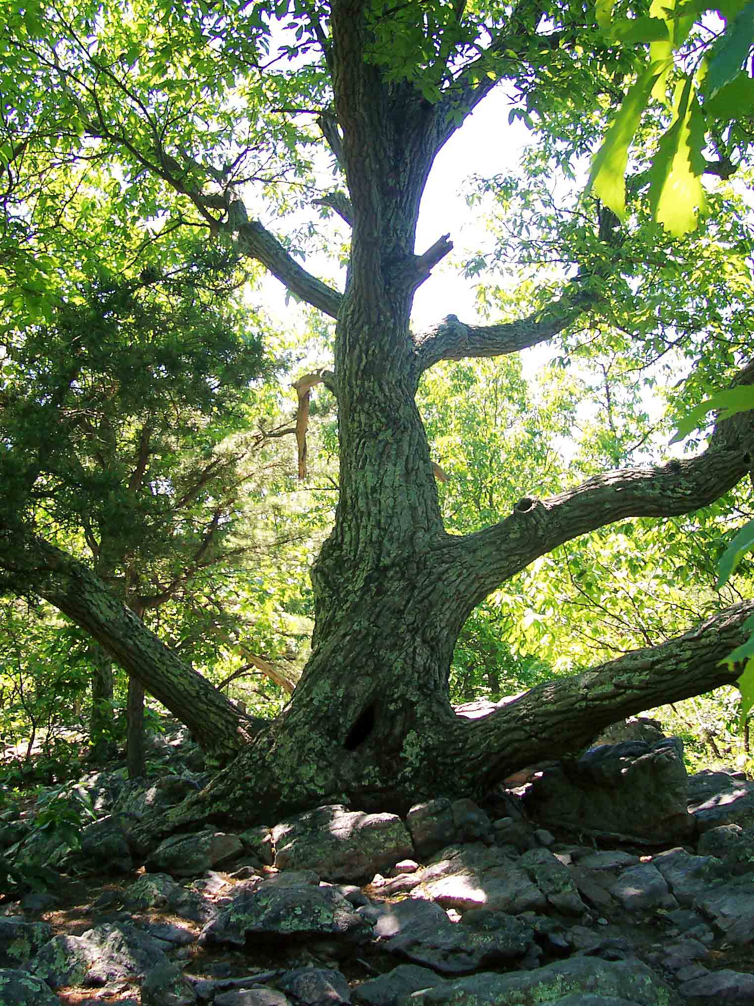
mm 5.0 - Tree at Buzzard Hill Lookout. A short side trail from the AT leads to this point.
Submitted by dlcul @ conncoll.edu
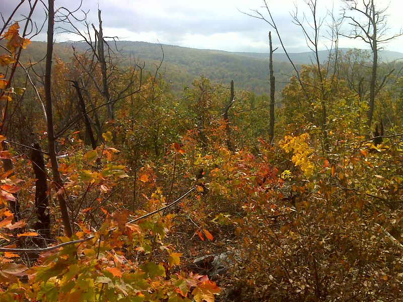
mm 5.0 View east from Buzzard Hill through area burned in 2009. GPS N39.0801 W77.9015
Submitted by pjwetzel @ gmail.com