VA Section 3 Pictures - Milemarker 6.0 - 10.5
Reservoir Hollow - Rod Hollow Shelter
Move your mouse across the pictures for more information.
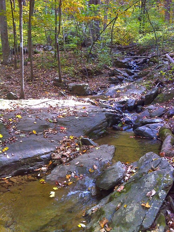
mm 6.0 Nice stream in Reservoir Hollow. GPS N39.0700 W77.9037
Submitted by pjwetzel @ gmail.com
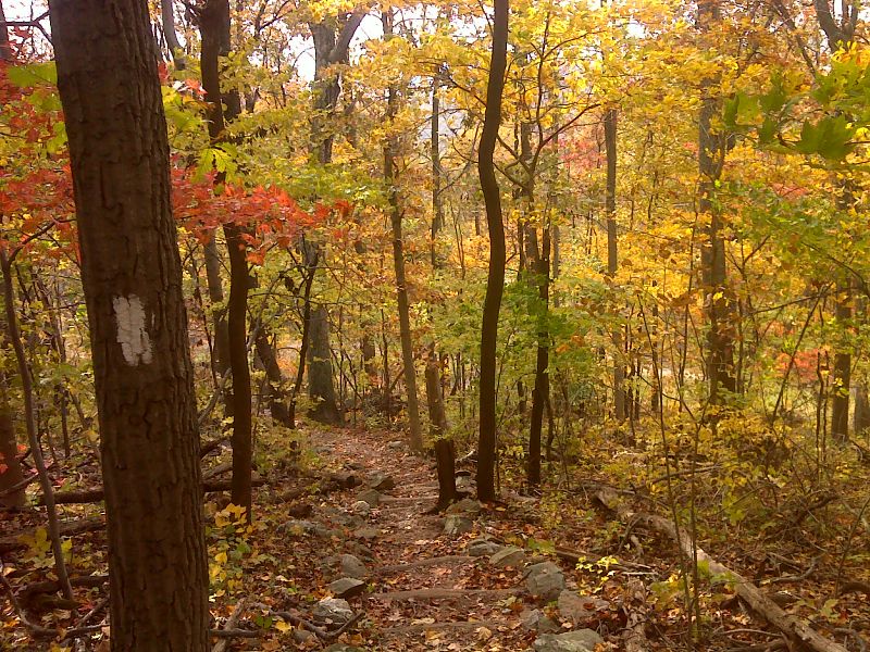
mm 6.8 The southbound trail approaches VA 605. There are some nice log steps here. GPS N39.0726 W77.9116
Submitted by pjwetzel @ gmail.com
mm 6.8 This is the parking at Morgan''s Mill Rd.
Submitted by jennmdo @ hotmail.com
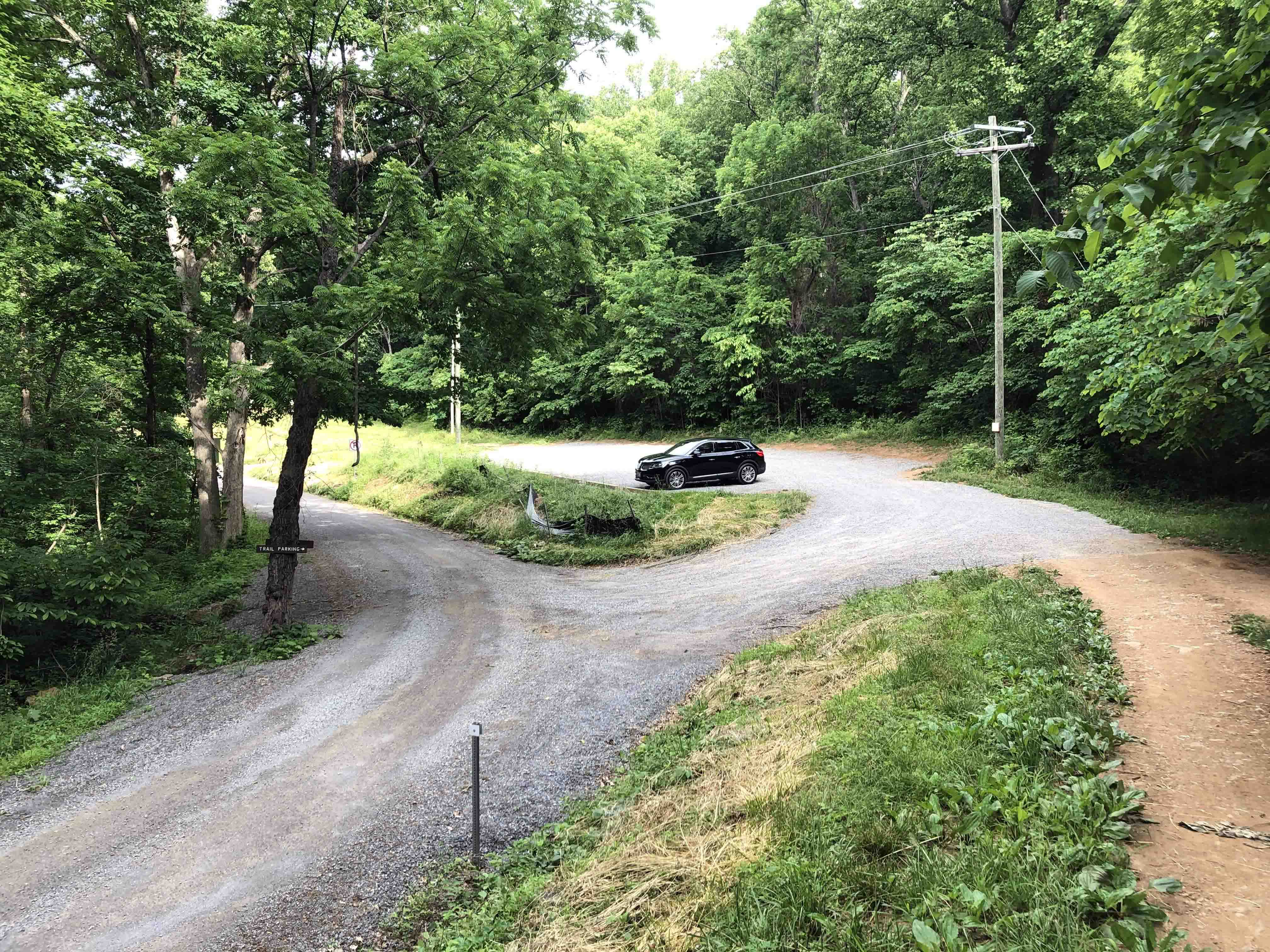
mm 6.8 New Morgans Mill Road parking
Submitted by Billmarshall2001 @ gmail.com
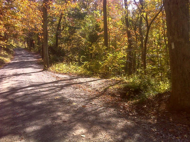
mm 6.8 Fall view of VA 605 crossing. Note roadside parking on right. GPS N39.0720 W77.9121
Submitted by pjwetzel @ gmail.com
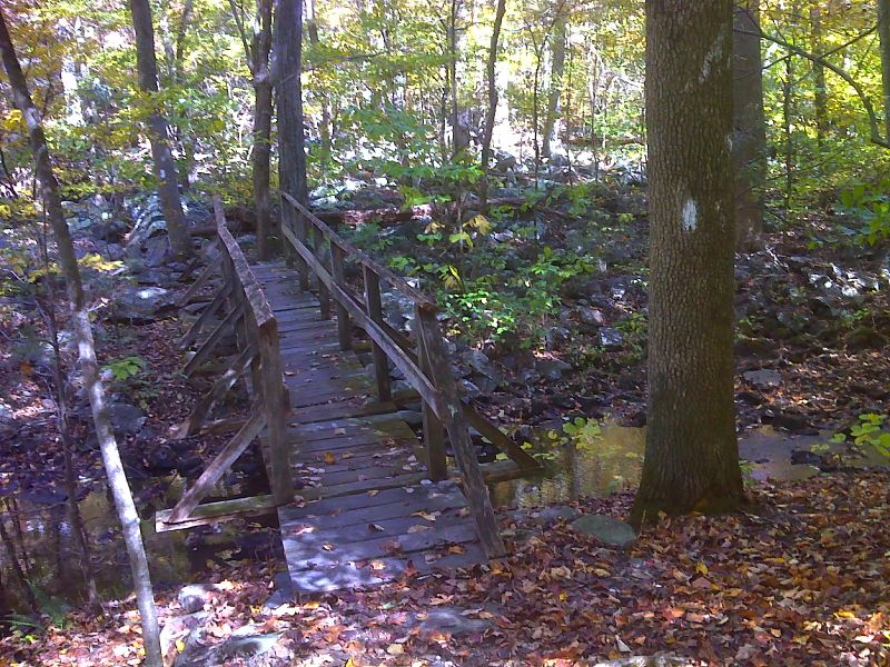
mm 7.8 Ashby Hollow footbridge. GPS N39.0704 W77.9164
Submitted by pjwetzel @ gmail.com

Fall color on the Roller Coaster GPS N39.0537 W 77.9414
Submitted by pjwetzel @ gmail.com
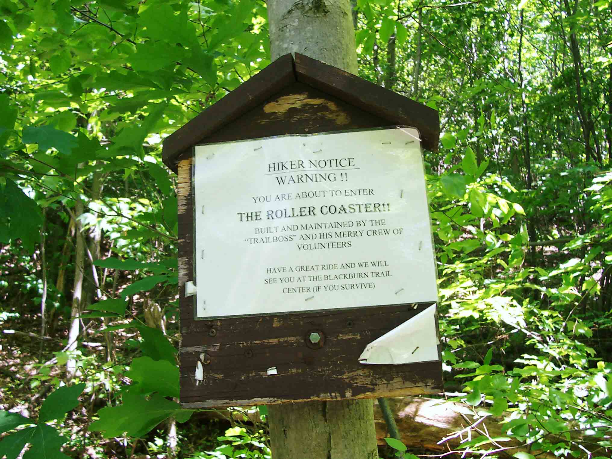
mm 10.1 - Sign at south end of 'The Rollercoaster'. Development has pushed the trail off the ridge in this area and the trail goes over 10 hills and side ridges in 13 miles, climbing and losing 300-700 feet on each one.
Submitted by dlcul @ conncoll.edu
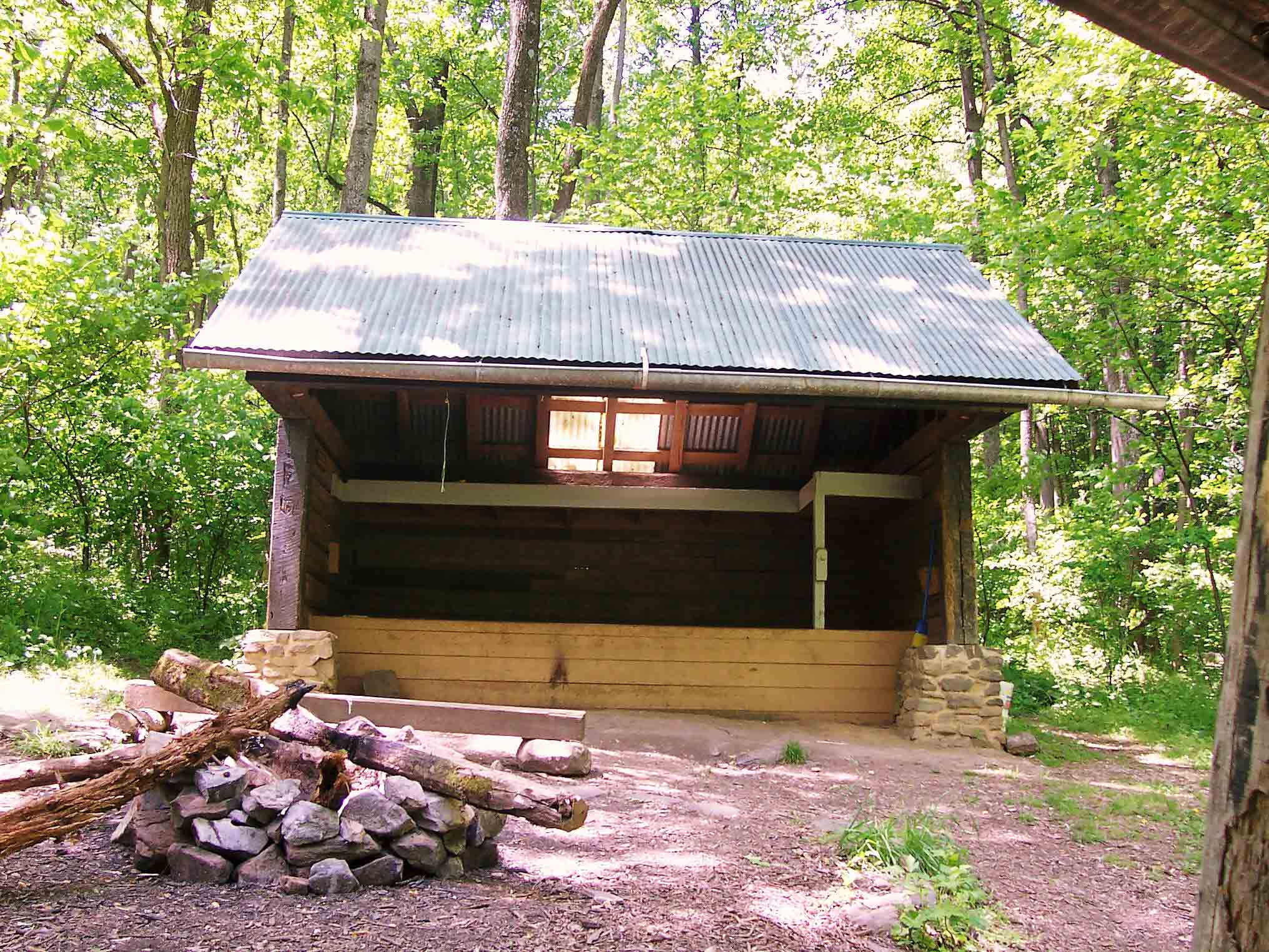
mm 10.5 - Rod Hollow Shelter
Submitted by dlcul @ conncoll.edu