VA Section 30 Pictures - Milemarker 0.0 - 4.0
VA 621 - Sinking Creek Mt.
Move your mouse across the pictures for more information.

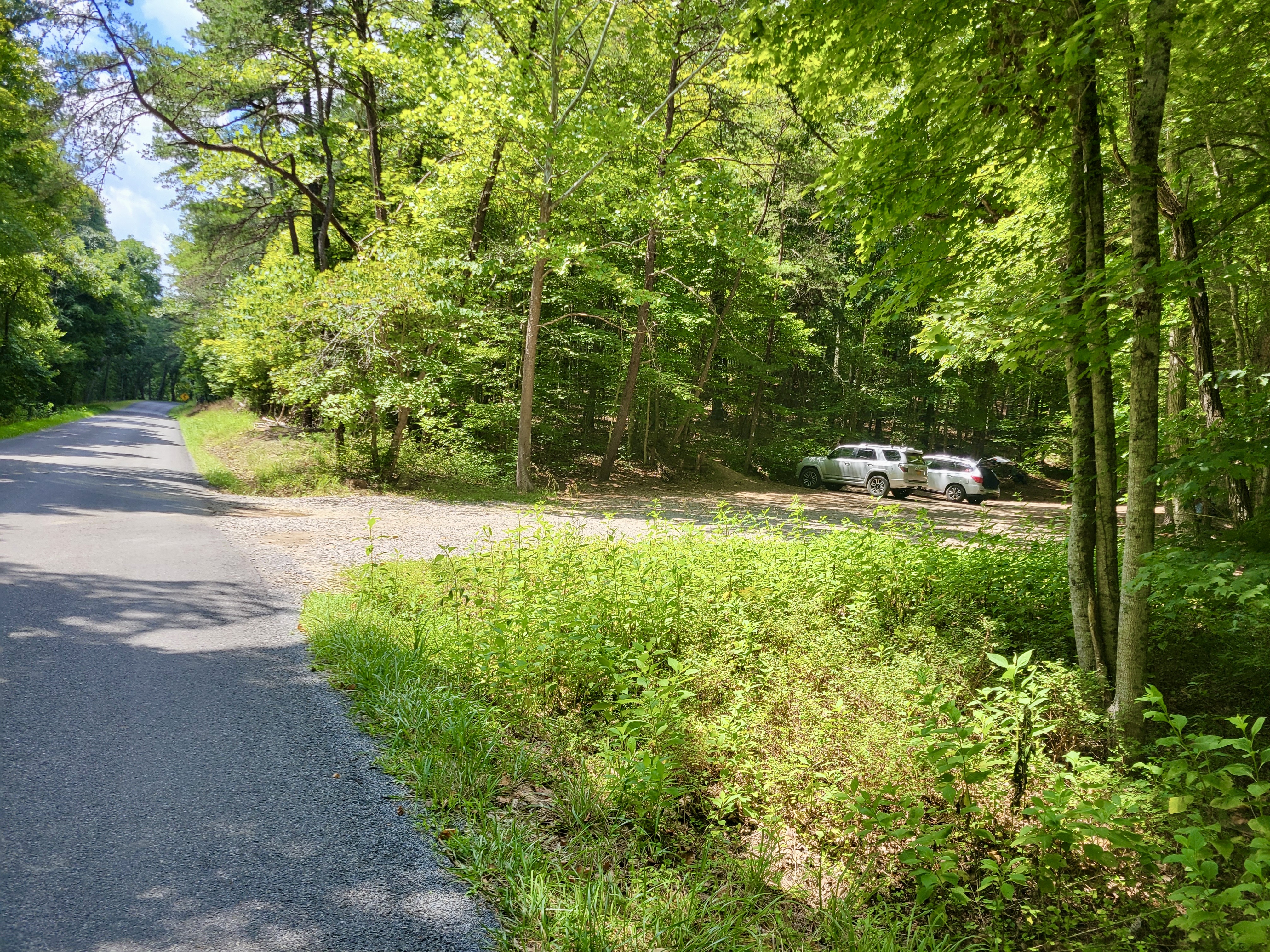
mm 0.0 Parking area on VA 621. Zoom in to see the Southbound trailhead white blaze starting right next to the first vehicle you see in the lot.
Submitted by cabincellars@yahoo.com
mm 1.3 Niday Shelter
Submitted by dlcul @ conncoll.edu
View to south from area of an old burn between Niday Shelter and Cabin Branch. Taken at approx. mm 1.6.
Submitted by dlcul @ conncoll.edu
Late afternoon view to south from area of an old burn between Niday Shelter and Cabin Branch. Taken at approx. mm 1.7.
Submitted by dlcul @ conncoll.edu
Approaching the crest of Sinking Creek Mountain after a 2000 foot climb in 3.7 miles from Craig Creek. Taken at approx. mm 3.7.
Submitted by dlcul @ conncoll.edu
mm 3.7 Eastern Continental Divide Sign at crest of Sinking Creek Mt.
Submitted by dlcul @ conncoll.edu
Craig Creek Valley from ridge of Sinking Creek Mt. Taken at approx. mm 4.0.
Submitted by dlcul @ conncoll.edu
View to northeast from Sinking Creek Mt. ridge. I believe the high peak on the left in the far distance is McAfee Knob which the trail traverses. Taken at approx. mm 4.0.
Submitted by dlcul @ conncoll.edu