VA Section 30 Pictures - Milemarker 4.0 - 7.3
Crest of Sinking Creek Mt. - Sarver Hollow
Move your mouse across the pictures for more information.

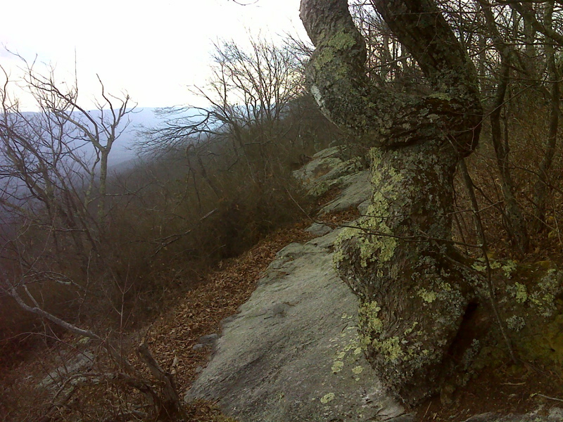
Ridge walking Sinking Creek Mountain sometimes requires finding
footing on smooth sloped bedrock - not recommended when wet. GPS: N37.3822
N80.3037
Submitted by pjwetzel @ gmail.com
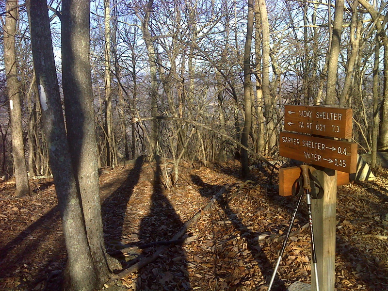
mm 7.3 Trail sign at the junction with the trail to Sarver Hollow Shelter(May 2010). This side trail also provides access to the Sarver Trail which descends to a gravel road near VA 621.
Submitted by dlcul @ conncoll.edu

mm 7.3 Junction with the trail to Sarver Hollow Shelter in
January 2012. The trail signs have been replaced since the previous picture
was taken.
Submitted by pjwetzel @ gmail.com
mm 7.3 Thru-Hikers on the porch of Sarver Hollow Shelter
Submitted by dlcul @ conncoll.edu
mm 7.3 Sarver Hollow Shelter
Submitted by dlcul @ conncoll.edu
mm 7.3 Spring near the Sarver Cabin, an old homestead. This is the water source for the shelter.
Submitted by dlcul @ conncoll.edu
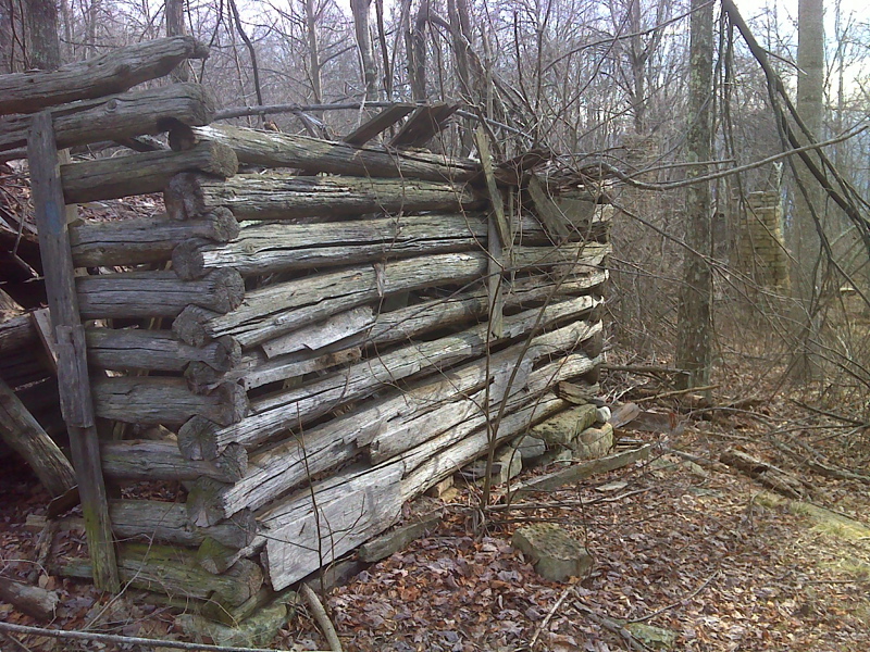
mm 7.3 Sarver Cabin, part of an old homestead. Taken in May 2010. From here the yellow-blazed Sarver Trail descends yo a gravel road near VA 621.
Submitted by dlcul @ conncoll.edu

mm 7.3 Sarver Cabin in January 2012. The roof has collapsed since the previous picture was taken.
Submitted by pjwetzel @ gmail.com