Section 32 Pictures - Milemarker 5.9 - 10.0
VA 613 - VA 734
Move your mouse across the pictures for more information.
mm 5.9 Parking on Salt sulfur Turnpike (VA 613).
Submitted by dlcul @ conncoll.edu
Overhanging rock ledge at approx. mm 6.6. This is trail
south of Salt Sulfur Turnpike.
Submitted by dlcul @ conncoll.edu
mm 7.0 Another overhanging rock ledge. This is the one
mentioned in the AT Guide to Central Virginia. From here to about mm 9.0,
the trail is very rocky in places.
Submitted by dlcul @ conncoll.edu

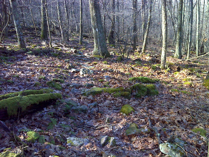
Typical rocky stretch of Appalachian Trail between VA 613 and
Bailey Gap Shelter. GPS: N37.4041 W80.5332
Submitted by pjwetzel @ gmail.com
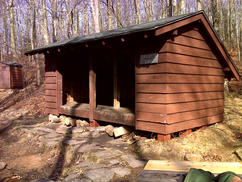
mm 9.6 Bailey Gap Shelter
Submitted by dlcul @ conncoll.edu

mm 9.6 Bailey Gap Shelter
Submitted by pjwetzel @ gmail.com

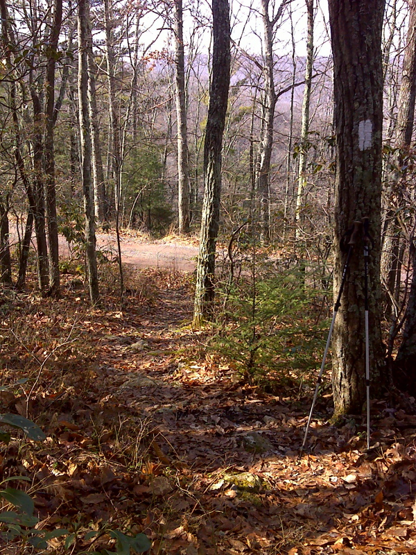
mm 10.0 The southbound AT approaches VA 734.
Submitted by pjwetzel @ gmail.com
mm 10.0 Gravel VA 734 at AT crossing
Submitted by dlcul @ conncoll.edu