VA Section 33 Pictures - Milemarker 2.8 - 12.6
dead tree - Rice Field
Move your mouse across the pictures for more information.
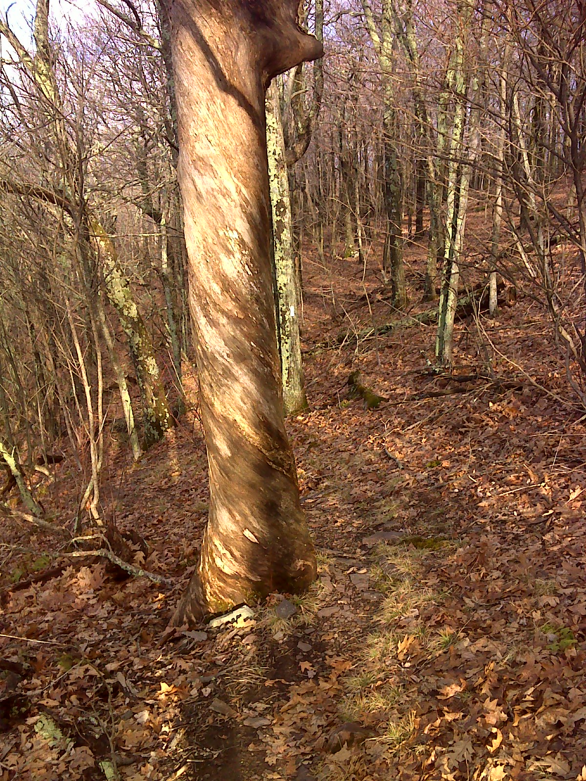
Twisted wood of dead tree along AT, Peters Mountain GPS:
N37.4358 W80.6243
Submitted by pjwetzel @ gmail.com
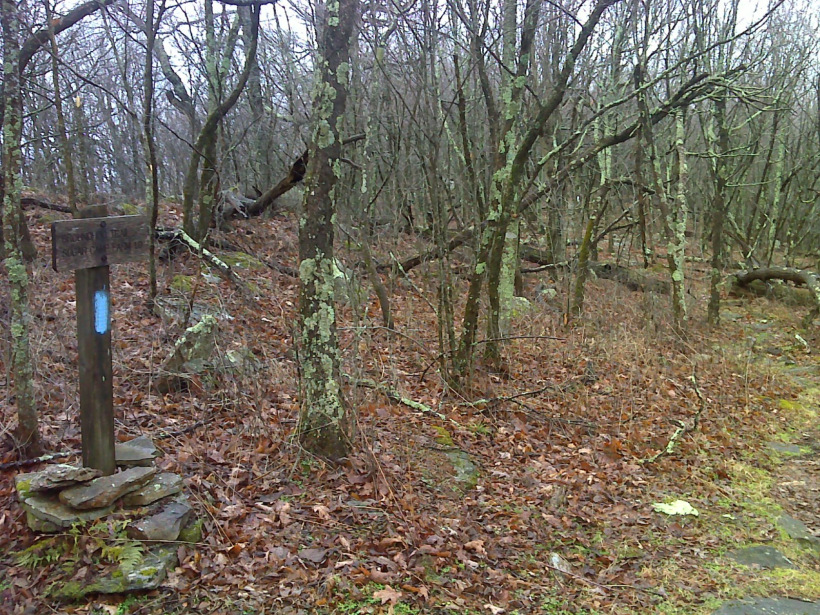
mm 6.7 Junction with the Groundhog Trail which descends to a
road and parking area on the West Virginia side of the mountain. It is
about 2 miles long. GPS N37.4122 W80.6693
Submitted by pjwetzel @ gmail.com
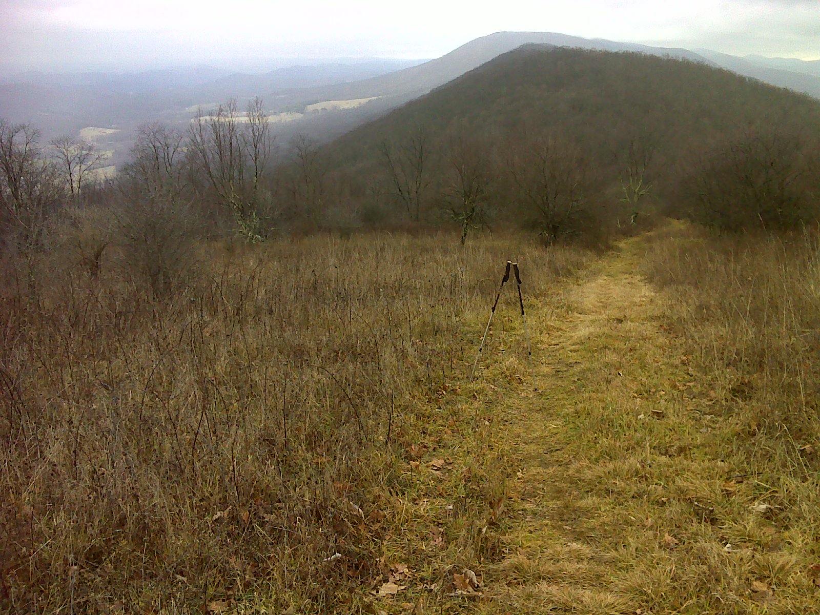
From mm 7.7-8.1 the trail traverses Symms Gap Meadow. GPS at
the point where this picture was taken: N37.4043 W80.6858
Submitted by pjwetzel @ gmail.com
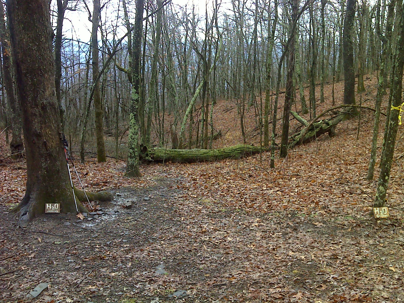
mm 11.2 Junction with trail to spring. This point is 1.6 miles
trail north of Rice Field Shelter.
Submitted by pjwetzel @ gmail.com
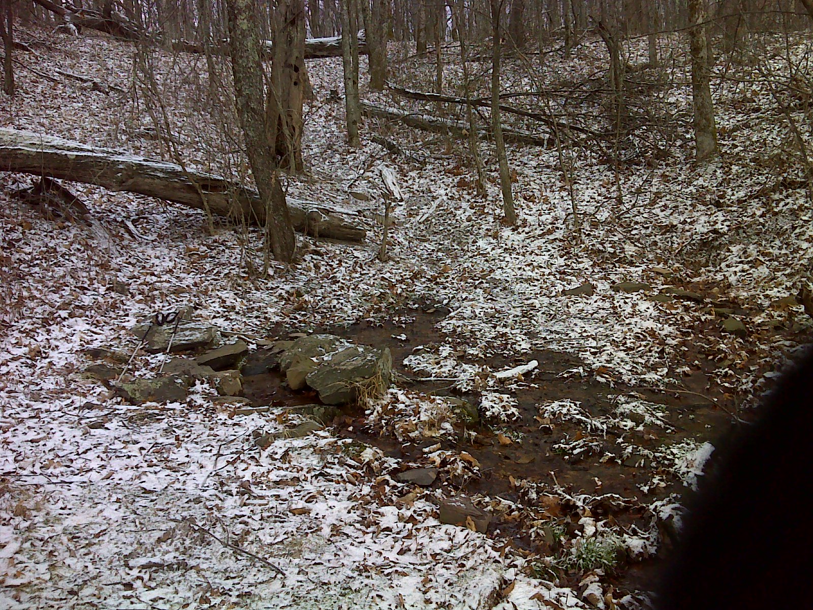
mm 11.2 Spring 1.6 miles north of Rice Field Shelter There
was abundant flow in January 2012.
Submitted by pjwetzel @ gmail.com
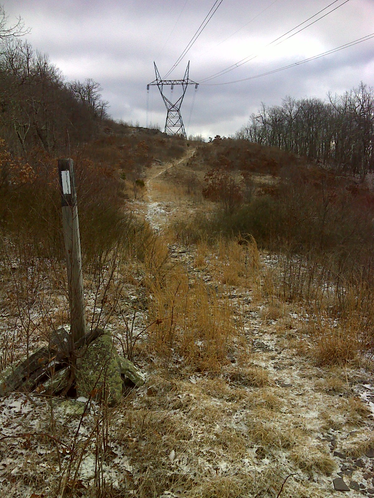
mm 11.9 AT follows the power line clearing for a stretch.
Submitted by pjwetzel @ gmail.com
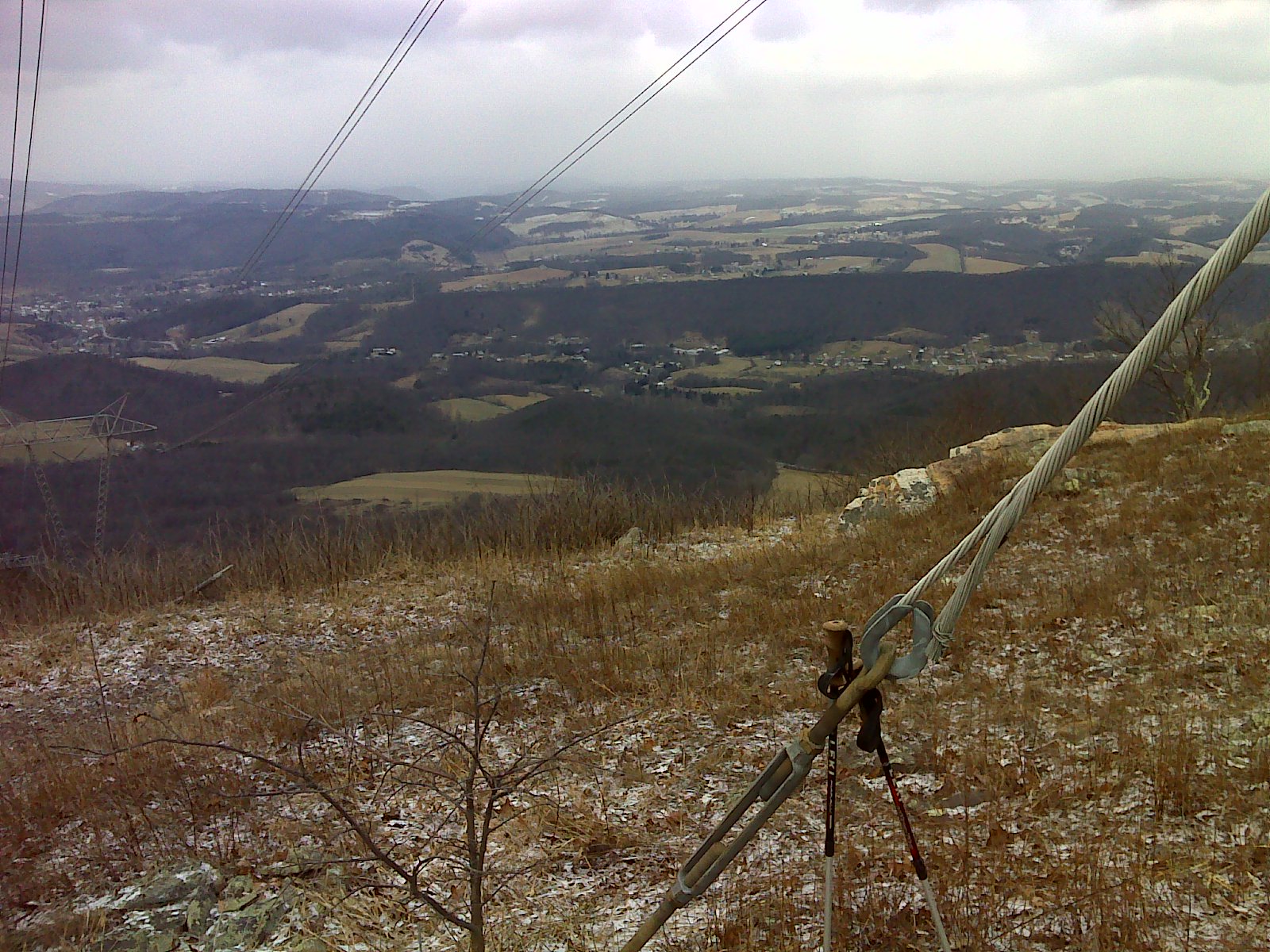
mm 11.9 View into West Virginia from power line clearing on
Peters Mountain.
Submitted by pjwetzel @ gmail.com
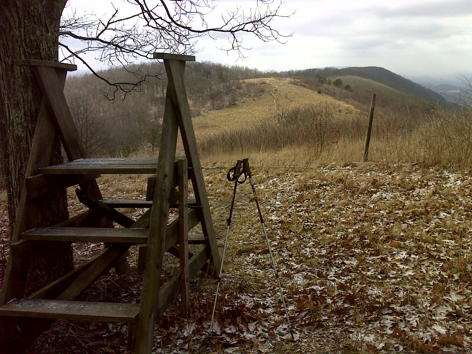
mm 12.6 View of Rice Field from the stile at the north end.
Submitted by pjwetzel @ gmail.com