VA Section 33 Pictures - Milemarker 12.8 - 17.9
Rice Field Shelter - View of Pearis Mt.
Move your mouse across the pictures for more information.
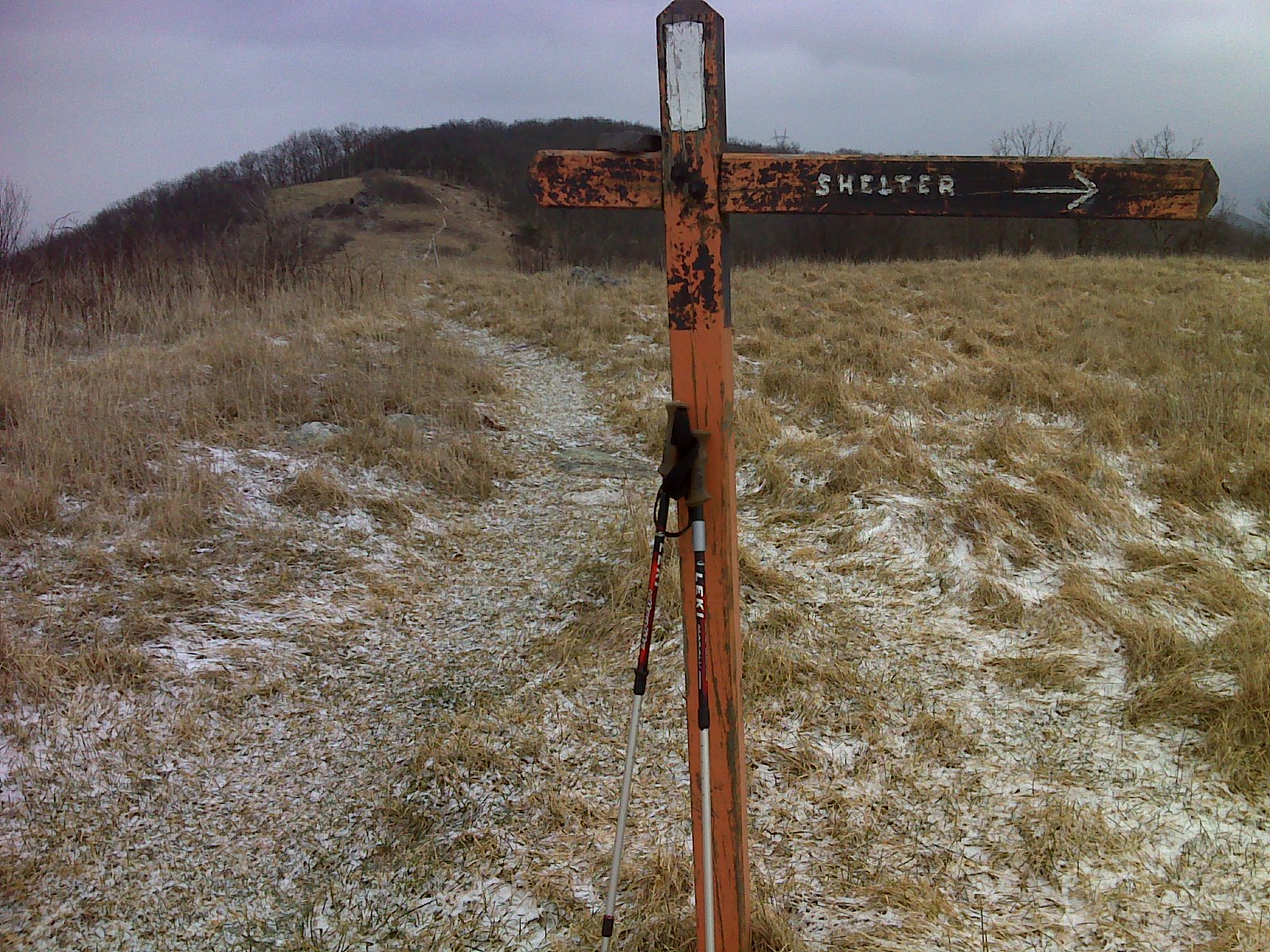
mm 12.8 Looking trail north on AT along Peters Mountain from Rice
Field Shelter access trail.
Submitted by pjwetzel @ gmail.com
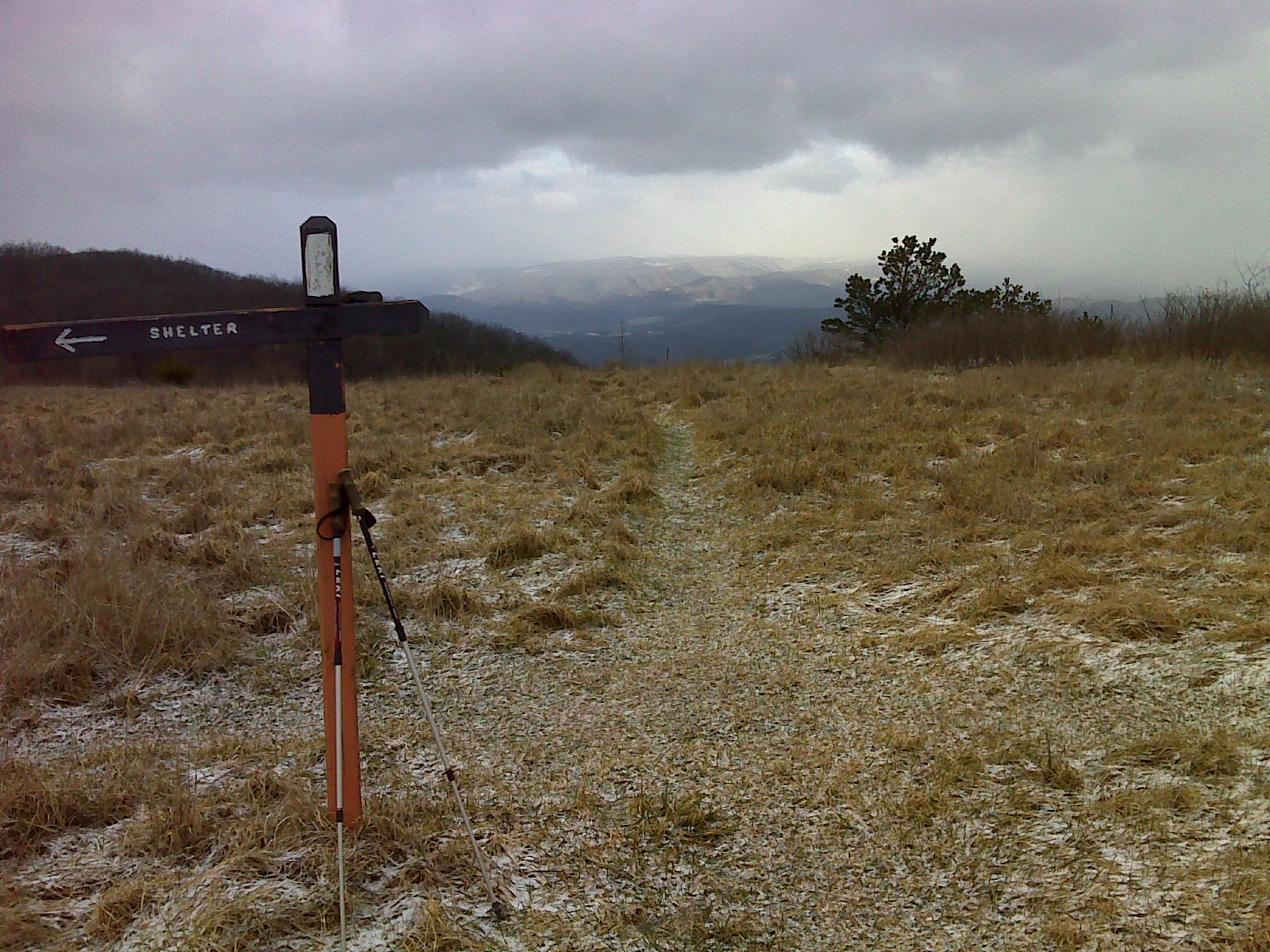
mm 12.8 Looking trail south on AT along Peters Mountain from
Rice Field Shelter access trail.
Submitted by pjwetzel @ gmail.com
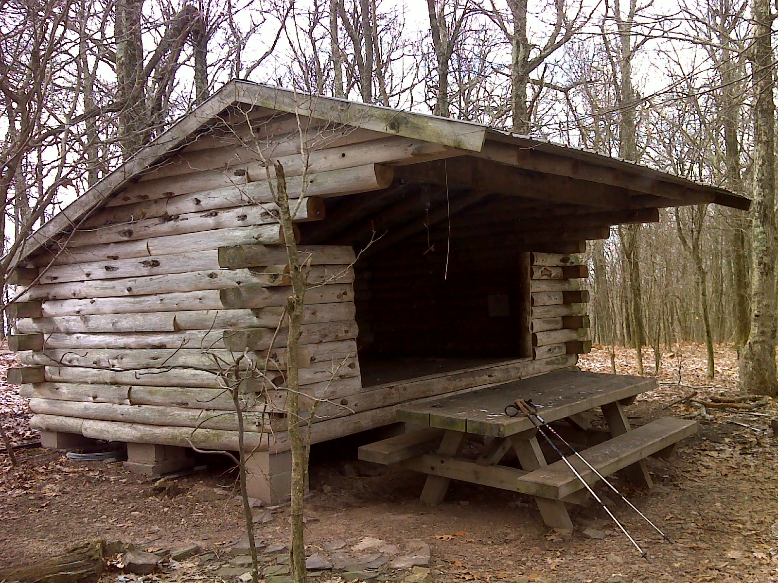
mm 12.8 Rice Field Shelter.
Submitted by pjwetzel @ gmail.com
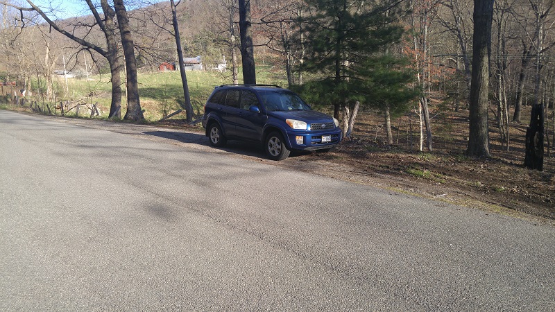
mm 15.3 - The parking in this area is right where Clendennin road and Pocahontas road intersect. The parking is off the side of the road on Clendennin Road. There is room for three to four cars.
Submitted by dperry3568 @ gmail.com
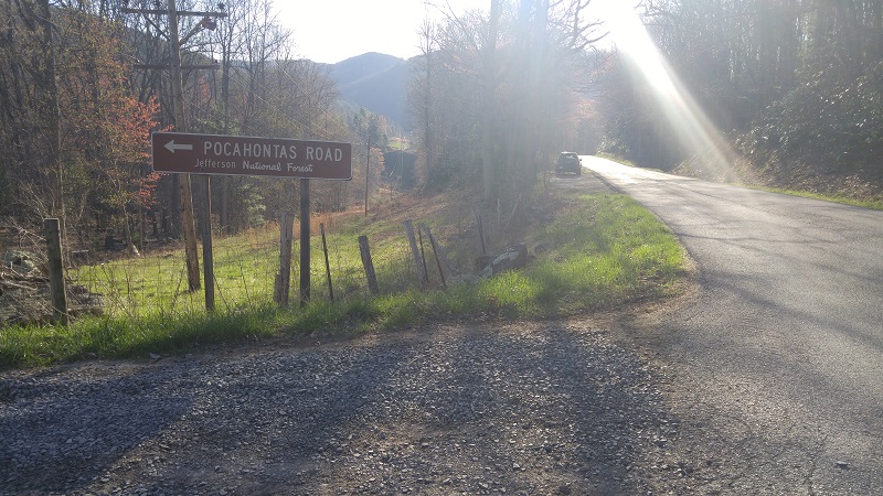
mm 15.3 - The parking in this area is right where Clendennin road and Pocahontas road intersect. The parking is off the side of the road on Clendennin Road. There is room for three to four cars.
Submitted by dperry3568 @ gmail.com
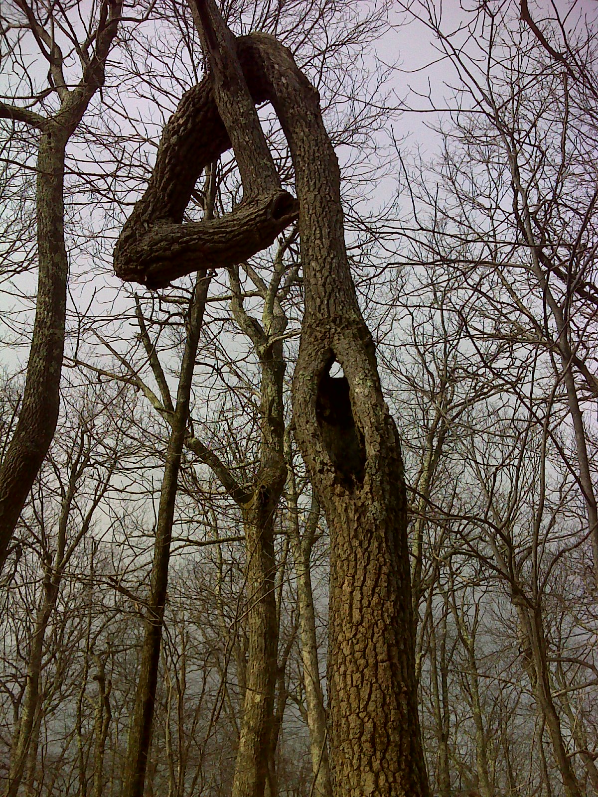
Contorted tree on Peters Mountain. Early season ice storms
probably cause this - most trees show some contortion. GPS: N37.3652
W80.7580
Submitted by pjwetzel @ gmail.com
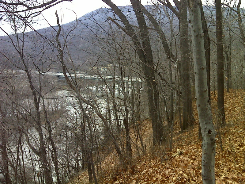
Winter view of New River and US 460 bridge from AT, Taken from
approx mm 18.6.
Submitted by pjwetzel @ gmail.com
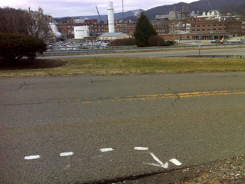
mm 18.7 Celanese Plant as viewed from the AT where it emerges
from the woods (south bound).
Submitted by pjwetzel @ gmail.com
Near Pearisburg, the southbound trail emerges from the woods to reach this paved road, which is an access to the Celanese plant. The trail follows the road under the highway (US 460), climbs a stairway to the highway and then crosses the New River on the bridge. Pearis Mountain is in the
background.
Submitted by dlcul @ conncoll.edu
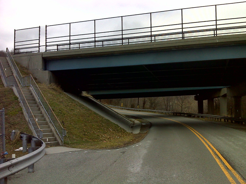
mm 18.8 US 460 underpass on Celanese Plant access road. AT
southbound climbs steps and then crosses New River on dedicated pedestrian
walkway.
Submitted by pjwetzel @ gmail.com
mm 19.1 Looking northboound at the east end of the Shumate Bridge across the New River near Pearisburg. The AT follows the pedestrian walkway across the bridge. Peters Mountain is in the background.
Submitted by dlcul @ conncoll.edu